The Alpe Adria TrailAustria, Slovenia, Italy
Opened: 2011
Length: 162 miles (260 kilometers)
Best for: The full European sea-to-summit experience
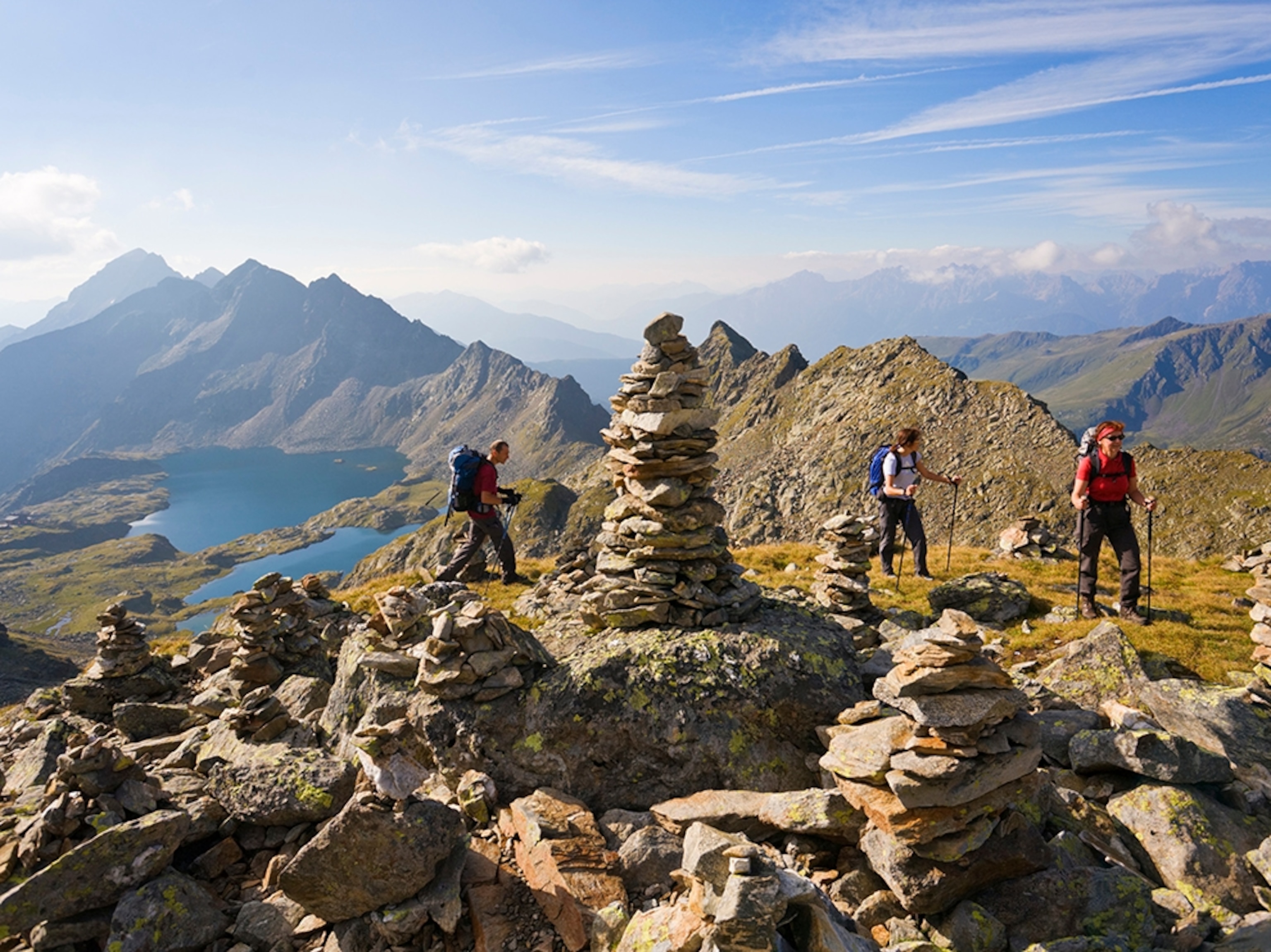
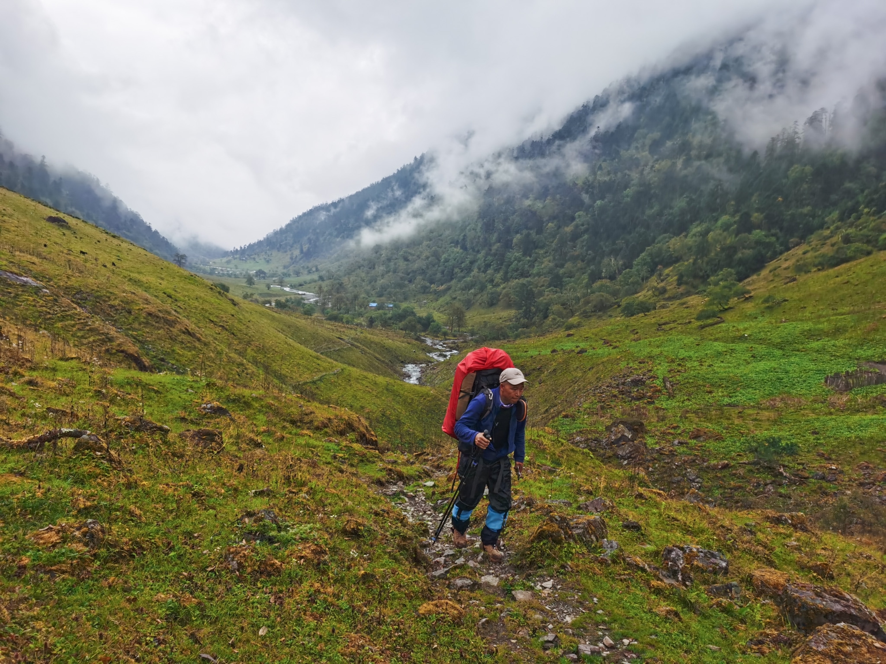
Starting on the shores of the Adriatic and climbing to the foot of Austria’s highest mountain, the 12,460-foot Grossglockner, this trail takes in the full measure of the European continent, wandering into Carinthia, the Julian Alps, and the Natisone Valleys, where people have lived for more than 30,000 years in the shadows of these peaks. The very different three nations it crosses (Austria, Slovenia, and Italy) may have different languages and cultures, but their residents share an affinity for getting out and hiking in the countryside, and the hike is as much a social experience as it is a wilderness jaunt. There are plenty of natural wonders along the route too. In fact, Austrian’s refer to the region as "the garden of Eden,” and the trail puts hikers deep in places like the Nockberge Biosphere Reserve, a high expanse of open meadows and spruce forest where chamois graze and unique, glacially rounded peaks formed of crystalline rock and ice (called the Nocken) break the skyline. In the Julian Alps it climbs up to the summit of 5,285-foot Vršič Pass, where the face of a maiden stares out from the rock, according to local legend, and hikers can look down on the Russian Chapel, a memorial to the 380 POWs who died while building the road up Vršič Pass during World War I. But the best of the trail may be at the end, in the port town of Muggia, where hikers can wash off days of grit in the blue waters of the Mediterranean.
Logistics: The trail has been carefully designed to make it as easy as possible to complete. Its 43 stages are about 12 miles each, making them ideal day hikes or simple to connect as longer segments for more ambitious thru-hikers. Each stop offers up accommodations and resupply options.
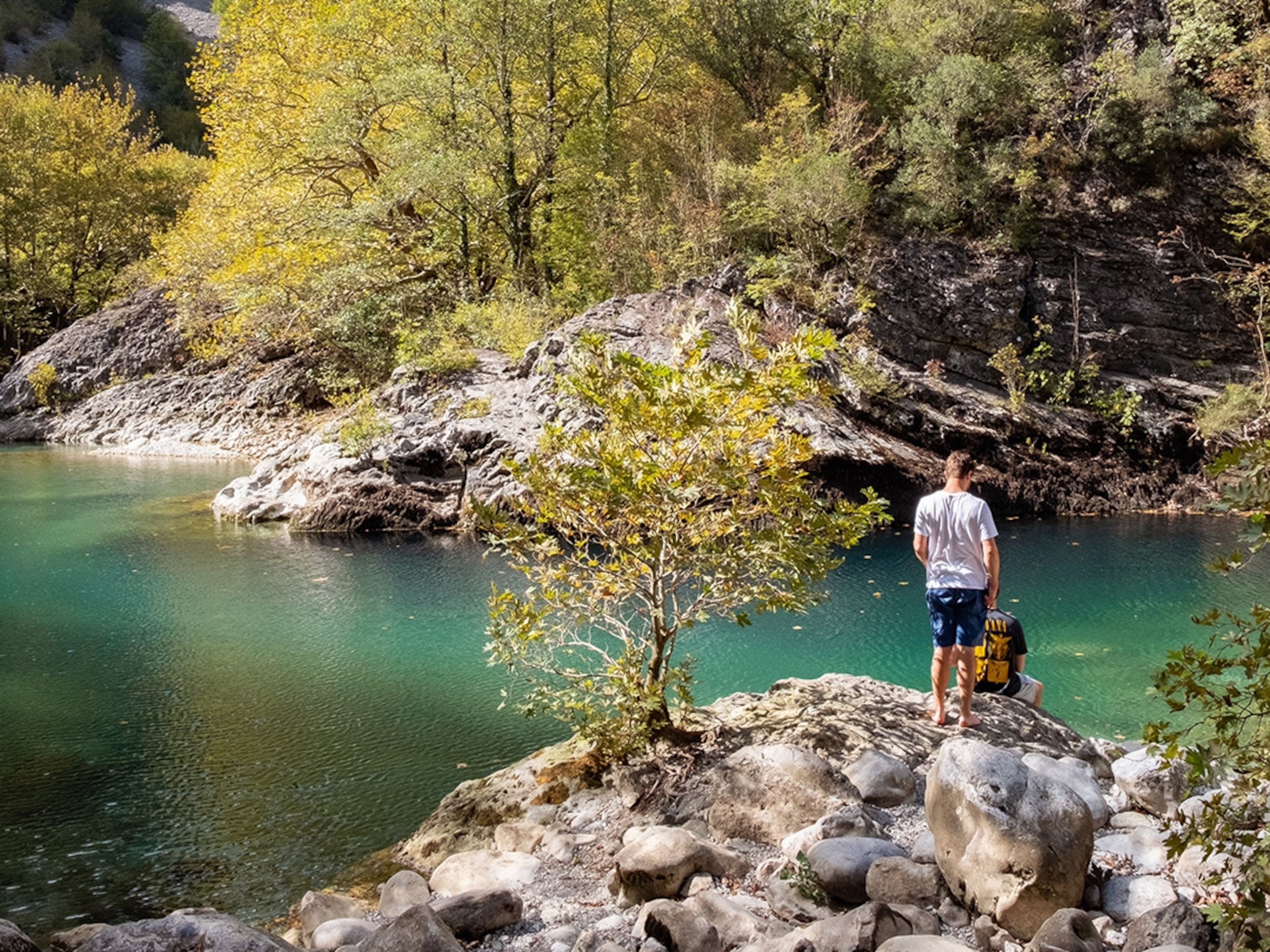
Photograph by Pritz/Aurora
