Updated: How Hurricane Michael's storm surge and wind impacted Florida
The "monster" storm has had a major impact on the Gulf Coast of Florida.
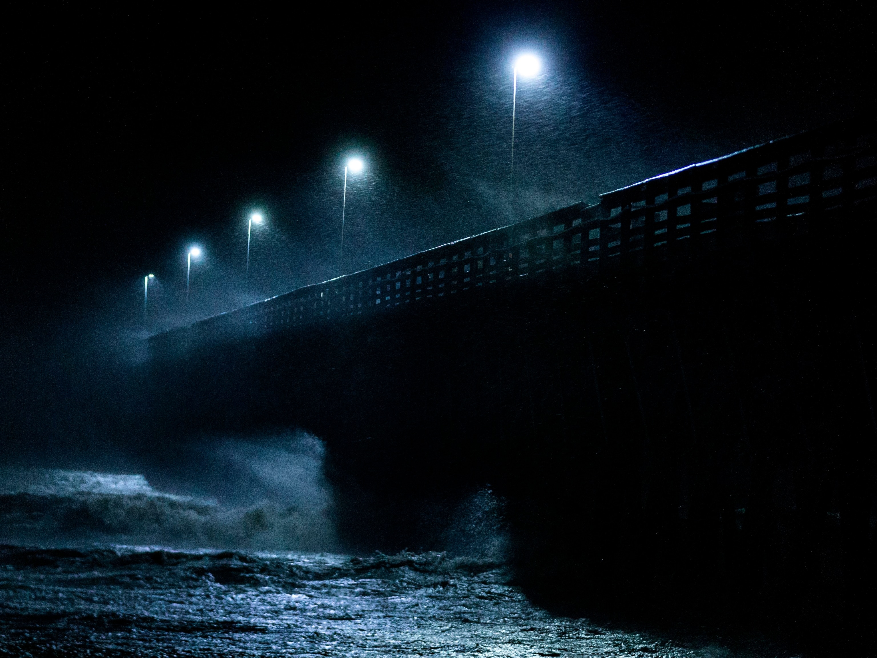
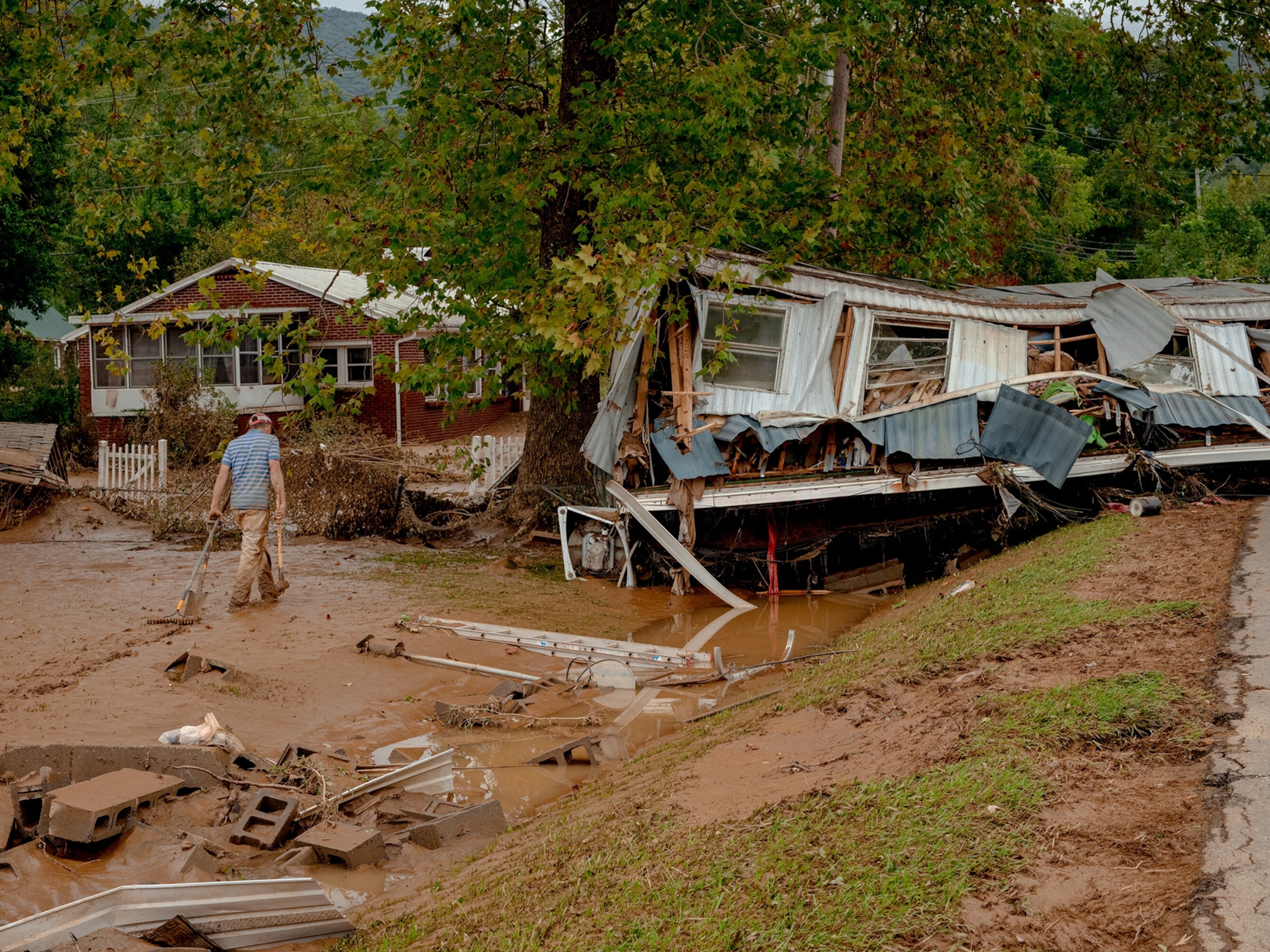
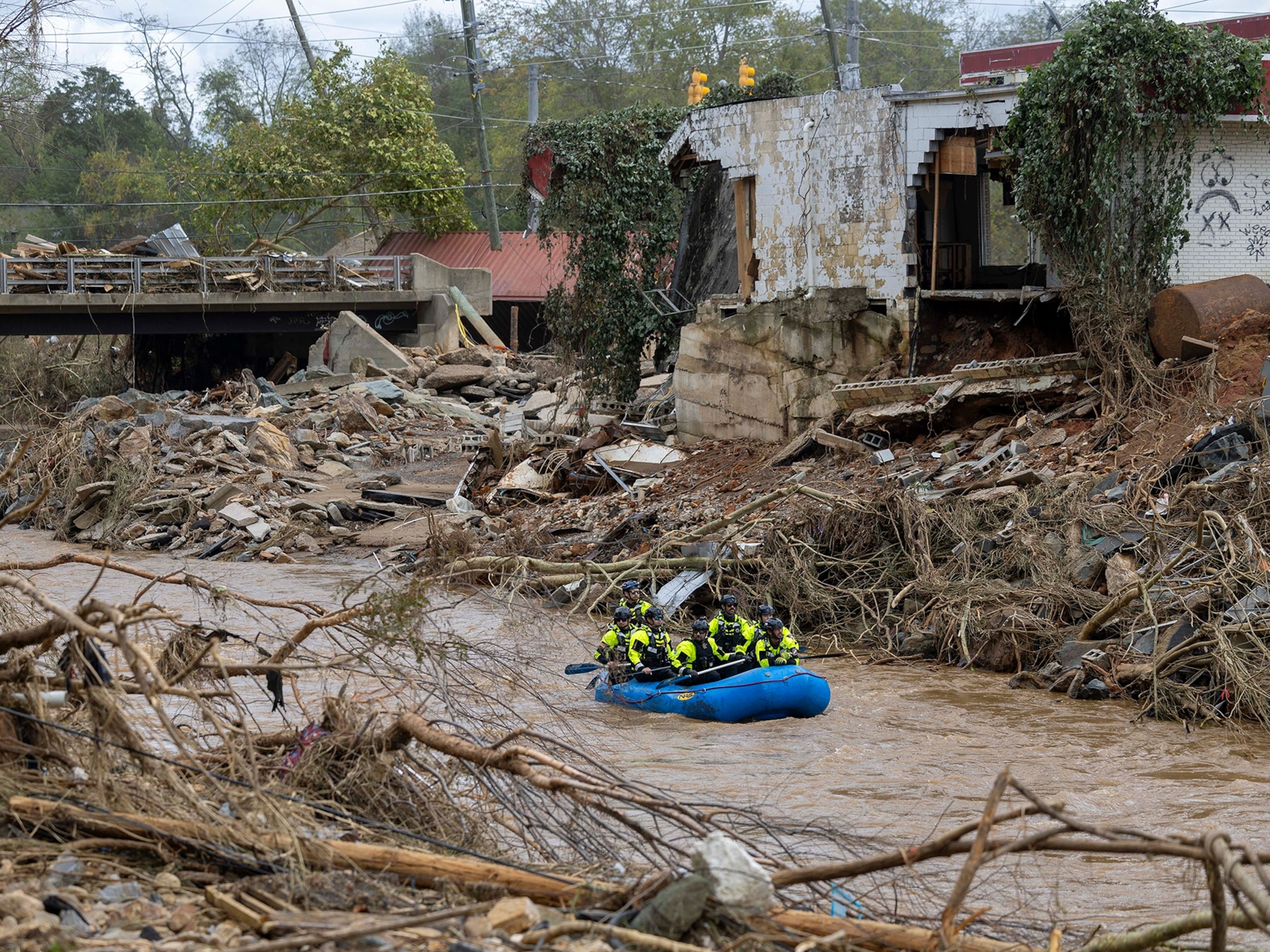
Updated on 10 am ET October 11: Hurricane Michael hit the Florida pandhandle as a category 4 storm early Wednesday afternoon, setting a record as the strongest storm to strike Florida in nearly a century. Michael was the third-strongest storm to make landfall in the U.S.
After the storm made landfall, it then briefly strengthened, and 155 mile per hour winds prompted an extreme wind warning in Florida and Georgia. A tropical storm as of Thursday morning, Michael is heading northeast, where it will create the potential for flash flood conditions in Georgia, the Carolinas, and Virginia.
Hurricane Michael is the 13th major storm identified in the Atlantic hurricane season, and it's moving north through the Gulf of Mexico, where warmer-than-average waters are expected to make it grow.
It comes not even a month after North and South Carolina were hit by destructive Hurricane Florence, and emergency responders are warning of similar dangers like storm surges and flooding. This year's Pacific storm season has also seen significant damage. Just last week, two category five typhoons were simultaneously brewing.
On Monday, Hurricane Michael began moving through the gulf and was a category three storm as of Tuesday evening. On Wednesday morning it was labeled a category four storm. It's expected to land in the U.S. on Wednesday evening.
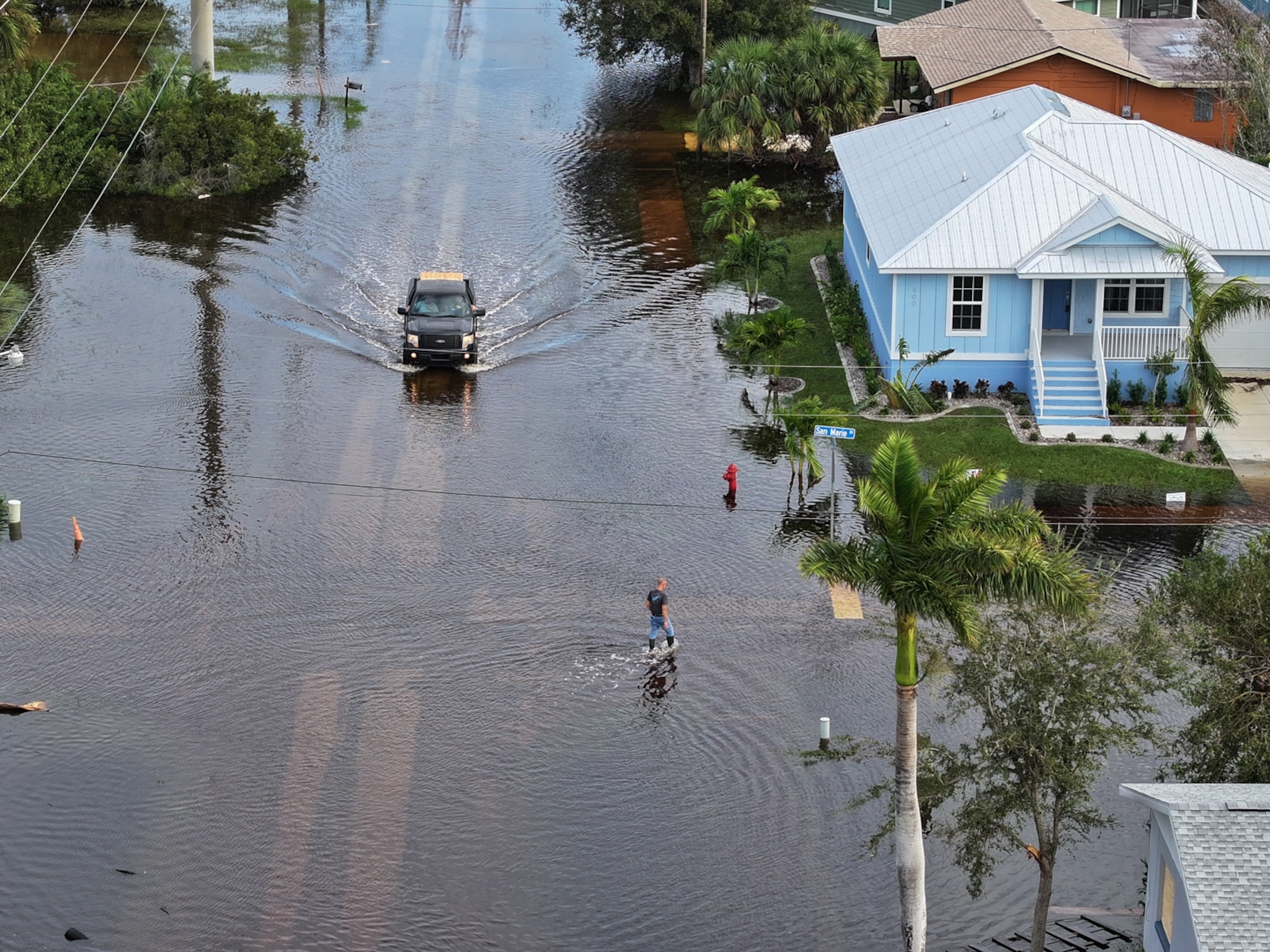
Thousands of people live in the hurricane's path and residents are advised to evacuate or fortify their homes before tomorrow, when strong winds and surges are expected to begin. Storm surges can occur when ocean water is rapidly pushed onto land by hurricane-force winds. Surges are responsible for the most fatalities during hurricanes, and some parts of Florida could see the water rise as high as 12 feet.
The National Hurricane Center has published an interactive map showing which counties are most at risk.
Parts of Florida and southern Georgia could also receive anywhere from eight to 10 inches of rain. Once it hits land, the storm will eventually move north along the U.S. East Coast, where the ground is already saturated with water from Hurricane Florence.
What do we know about Michael?
The Gulf of Mexico is experiencing warmer-than-average temperatures, and, because warm water fuels hurricanes, this is expected to make Michael grow stronger.
Su Ostro, a senior meteorologist with the Weather Channel, tweeted that the storm is fending off wind shear, the wind that usually forces a hurricane to become uneven and lose strength. Without this dry air to deter the hurricane, it can form a tighter core, which helps keep the tempest intact as it moves across the Gulf.
This more sustained structure means the storm could continue to rapidly intensify. On Sunday, wind speeds nearly doubled from 40 miles per hour to 75 miles per hour. Until it hits land, meteorologists will be watching to see how rapidly it intensifies.
Warm waters, low wind shear, and a tight core are the three most essential features hurricanes need to gain strength and make a big impact when they hit land.
How unusual is this storm?
October falls into the tail end of peak hurricane season, which starts in late August. It's during this time that Atlantic Ocean waters are the warmest of the season. As Saharan desert air currents roll over warm waters off the west coast of Africa, water is funneled into a hurricane structure, circulating up and out like a chimney.
Over days or weeks, these storms build as they head west, making it more likely they'll hit the U.S. East Coast as a major hurricane.
Increasingly, scientific studies are linking climate change to a more dangerous hurricane season. Warmer temperatures are capable of carrying more moisture, and scientists say that warmer ocean waters will lead to hurricanes that dump more intense—and deadly—rainfall.


