The oldest map of the Holy Land is actually a magnificent mosaic
Discovered in a remote Ottoman town in 1884, the Madaba Map is both a masterpiece of Byzantine design and a working map of Jerusalem and the sixth-century Middle East.
Tensions between Muslims and Christians in the 1880s in what is today Jordan led to a compromise. The Christians could relocate to a town named Madaba on the condition they could only build churches on sites where churches had once stood before. The proposal had a certain logic, for although Madaba by this time was a dusty, obscure outpost in the Ottoman Empire, during the Byzantine period it had been a thriving Christian city.
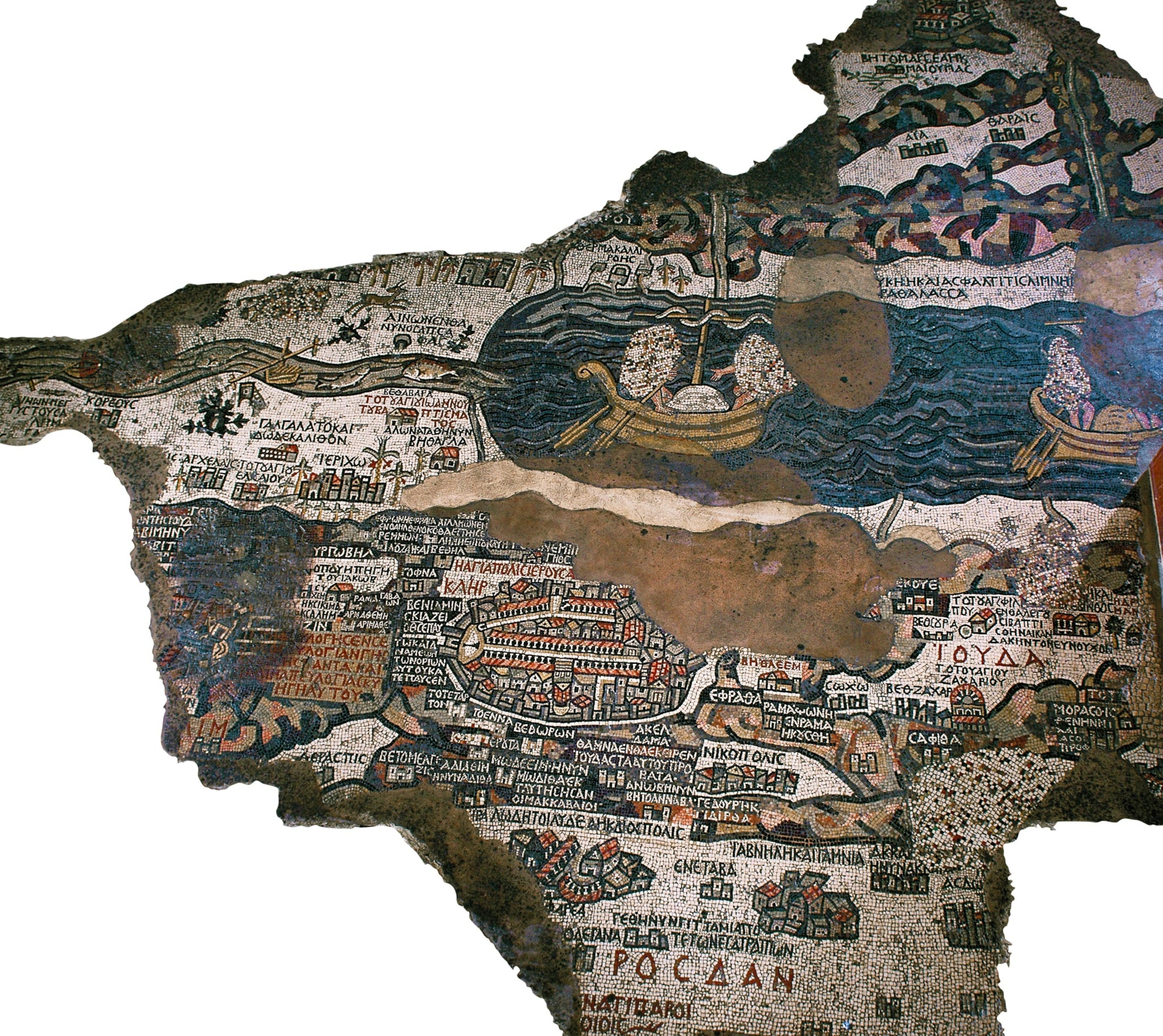
In 1884 the newly settled Greek Orthodox Christians wanted to build a new Church of St. George over its former site. They duly cleared the ground over what had been the ancient church and made a stunning discovery: Underneath the rubble was a huge mosaic of a detailed map. Although damaged in places, its myriad colored fragments still depicted sites across the Holy Land, including Jerusalem, in dazzling detail. (New treasures are being unearthed under Jerusalem.)
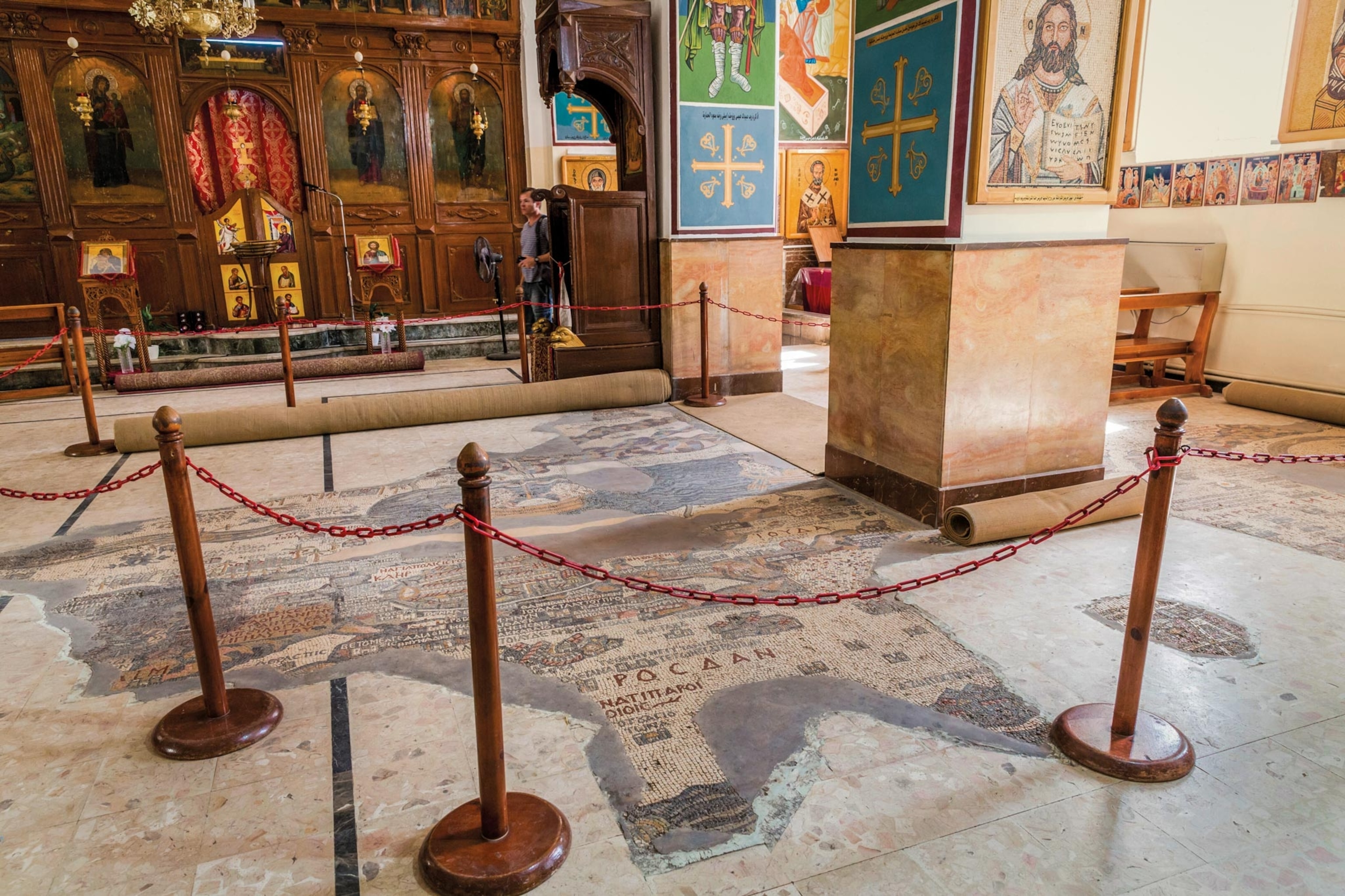
A unique find
Locals were excited, but the discovery was slow to attract the attention of the Greek Orthodox Christian authorities in Jerusalem, which was then under Ottoman rule. It was not until a decade later in the mid-1890s that the librarian of the Jerusalem patriarchate, Kleopas Koikylides, visited Madaba to inspect the find. He realized straightaway the importance of the artwork. Mosaics adorning the floors of Byzantine churches generally represented cities and monuments in a pictorial sense. Although the Madaba mosaic has such pictorial elements—buildings rendered in naturalistic detail and vivid depictions of objects and animals—its design, a bird’s-eye view of the region, was unique.
Koikylides wrote a monograph on it in 1897, and the German Society for the Exploration of Palestine undertook the first extensive surveys of the mosaic in the early 1900s. In 1965 a major restoration project was undertaken by the same society under the direction of Heinz Cüppers and Herbert Donner. By then, its significance was clear: A cartographic masterpiece, the Madaba mosaic is the earliest map of the Holy Land. (Tower of Babel featured on ancient synagogue mosaic.)
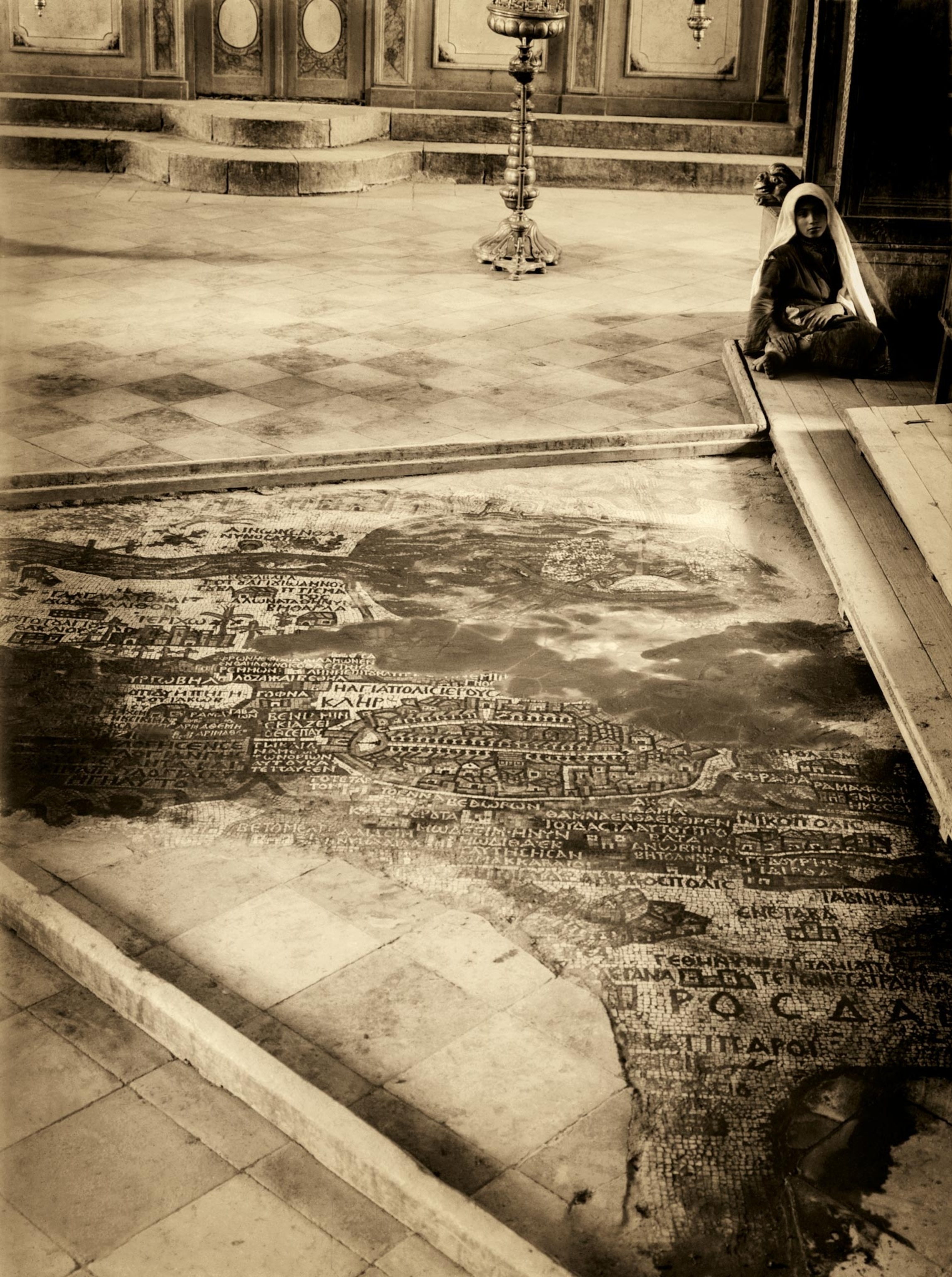
Pieced together
The cartographic accuracy of the Madaba Map enabled scholars to identify landmarks in its representation of Jerusalem. Among these is the New Church of St. Mary, the Mother of God, consecrated on November 20, 542.
Several other churches across the Holy Land can also be identified thanks to the high level of artistic detail. Many of these monuments are mentioned in documents about the Holy Land written around this time, which could have been a source for the mosaic-makers. One source could have been an account written around 570 by an Italian pilgrim to the Holy Land.

Other clues offer a latest possible date for the map’s dating. A monastery in Gaza, built on the site of the birthplace of the fourth-century St. Hilarion, is clearly marked; it was destroyed in 614, around the time the Sassanian Persian king Khosrow II rampaged through Palestine in his war with the Byzantines. Given that the map does not reflect the monastery’s destruction, the mosaic had to be created sometime between 542 and 614, possibly during the reign of the Byzantine emperor Justinian the Great, who died in 565. (The Sassanian dynasty rose to challenge Rome.)
Sections of the Madaba Map have been greatly damaged, particularly its eastern and northern portions. Damage caused by fire and falling masonry might have been inflicted by the Sassanian armies. Worship continued at the Church of St. George, however, and Madaba, which later surrendered to the Muslims, was spared destruction. Crudely repaired figures suggest illustrative elements in the mosaic may have been defaced on the orders of the eighth-century caliph Yazid II. The Church of St. George was probably destroyed by fire in the eighth century.
The narrow dating window means that archaeologists can cross-reference in order to date archaeological finds. The map shows a broad road inside Jerusalem’s Jaffa Gate. In 2010 solid evidence of that road was finally unearthed, further reinforcing scholars’ view that the Madaba mosaic is not just a beautiful and complex artwork, but a cartographic record of another age.

