Mapping the Winds
National Geographic cartographers fill a key map gap on the North American Continental Divide and pay tribute to the Father of American Mapmaking
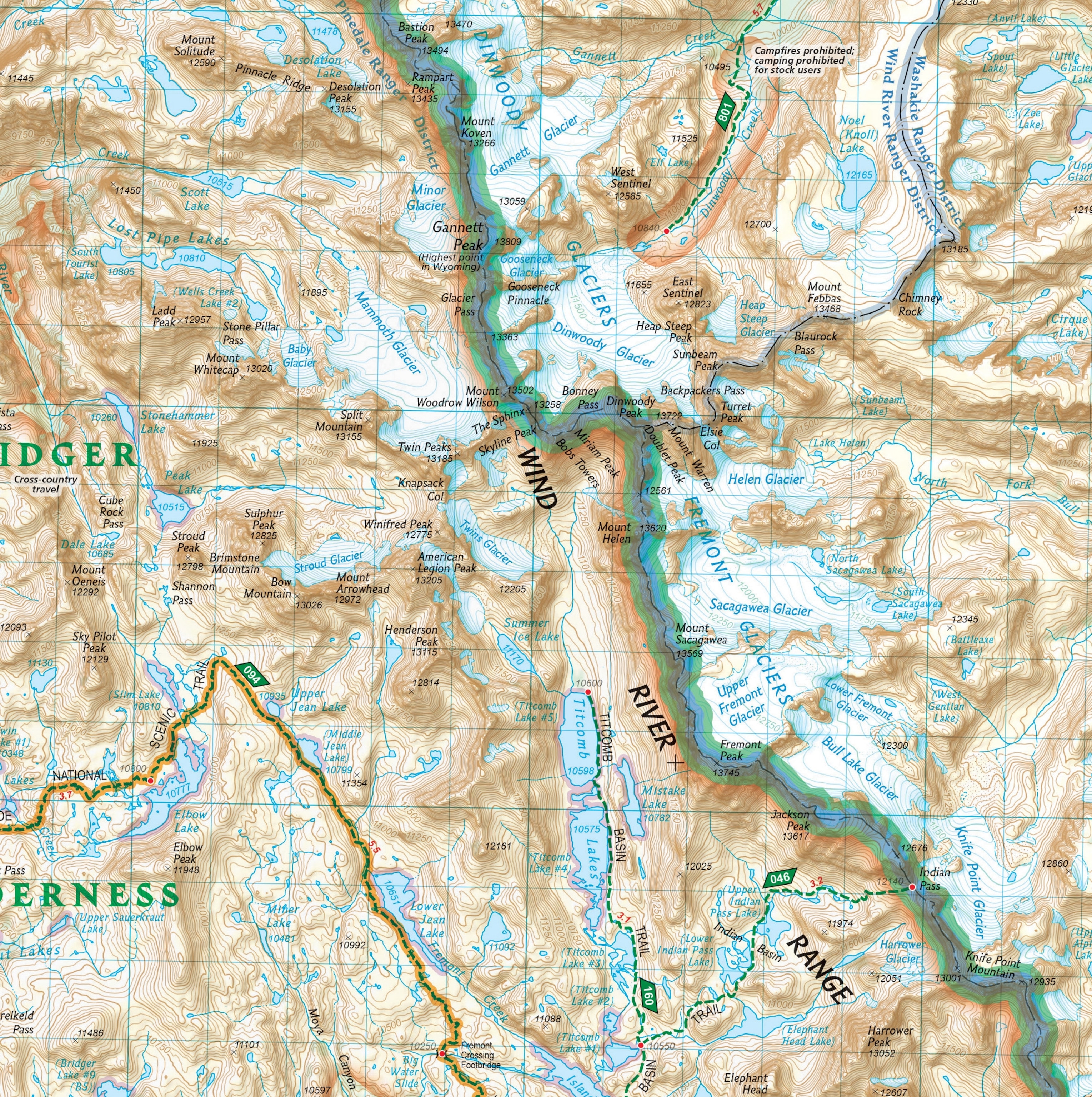
National Geographic has been publishing retail topographic trail maps of North America’s most popular outdoor recreation areas since it acquired Colorado-based Trails Illustrated in 1997. Over the past 24 years National Geographic Maps has expanded the Trails Illustrated product family and enhanced its quality, making it the largest and most popular line of trail maps in North America, with over 300 titles and hundreds of thousands of maps sold annually. New titles are published each year, along with updated versions of existing maps.
Trails Illustrated maps cover the top national parks in the United States and the Canadian Rockies, as well as major state parks, national forests, and wilderness areas. Coverage is focused on large public lands with extensive trail networks and few paved roads, generally in scenic mountain and desert regions where detailed and accurate topographic maps are needed for navigation and safety.
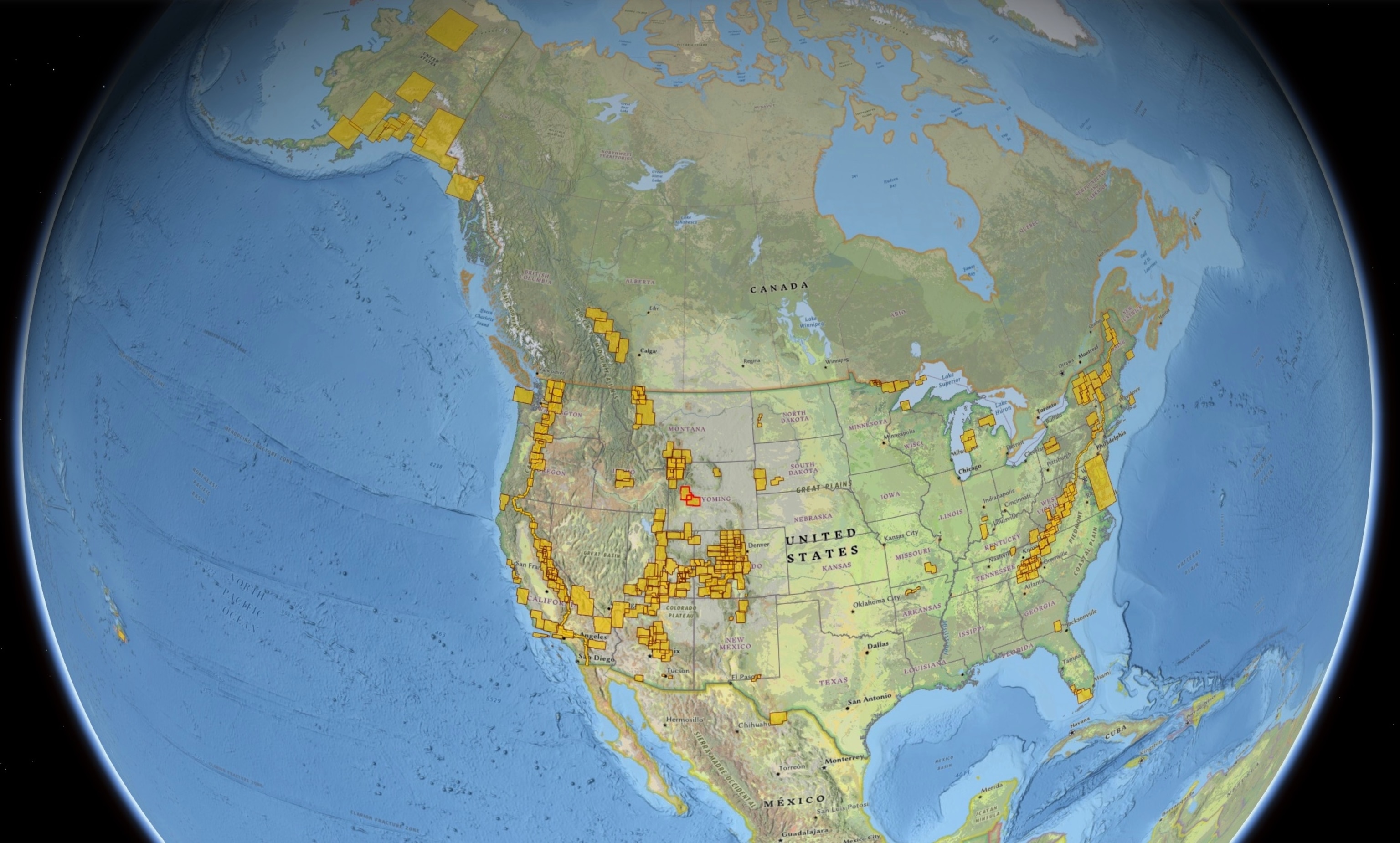
The process to develop, market, and update a Trails Illustrated map is time-consuming and costly, involving extensive research and data gathering, cartographic design and editing, printing, stocking, marketing, sales, and distribution. So decisions to publish new titles or expand into new regions are carefully evaluated in terms of projected sales, competition, production and distribution costs, and resources.
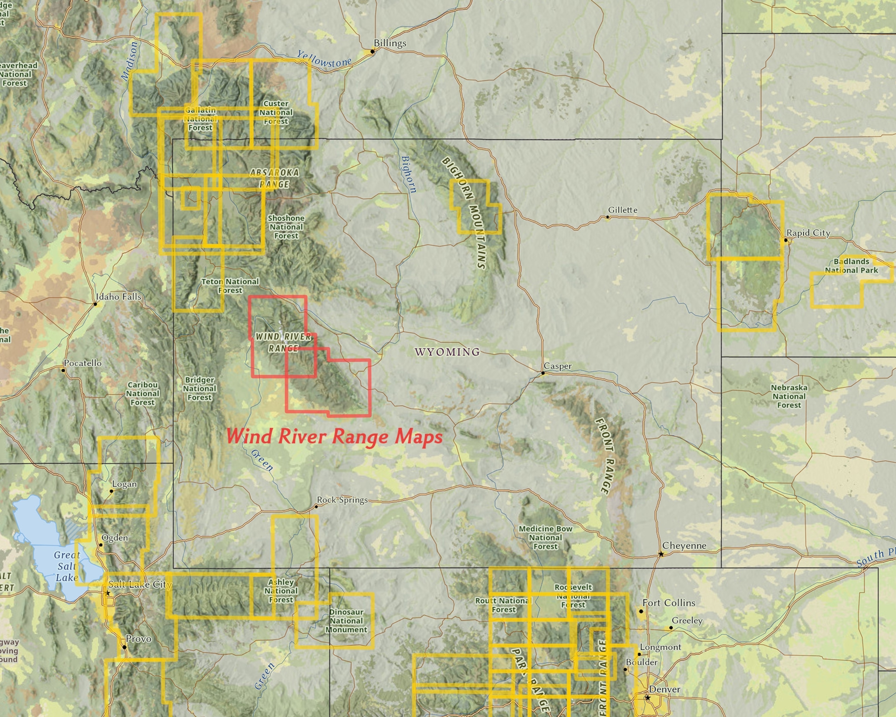
National Geographic Maps has a deep catalog to maintain, so there are many areas with extensive public lands and trail networks that have not yet been mapped and added to the Trails Illustrated series. One region often requested by customers, which has long been on National Geographic’s list of potential maps, is the Wind River Range in western Wyoming. National Geographic has filled that gap this summer with the release of two new folded maps, Wind River Range North and Wind River Range South—the latest titles in the Trails Illustrated family.
The Wind River Range
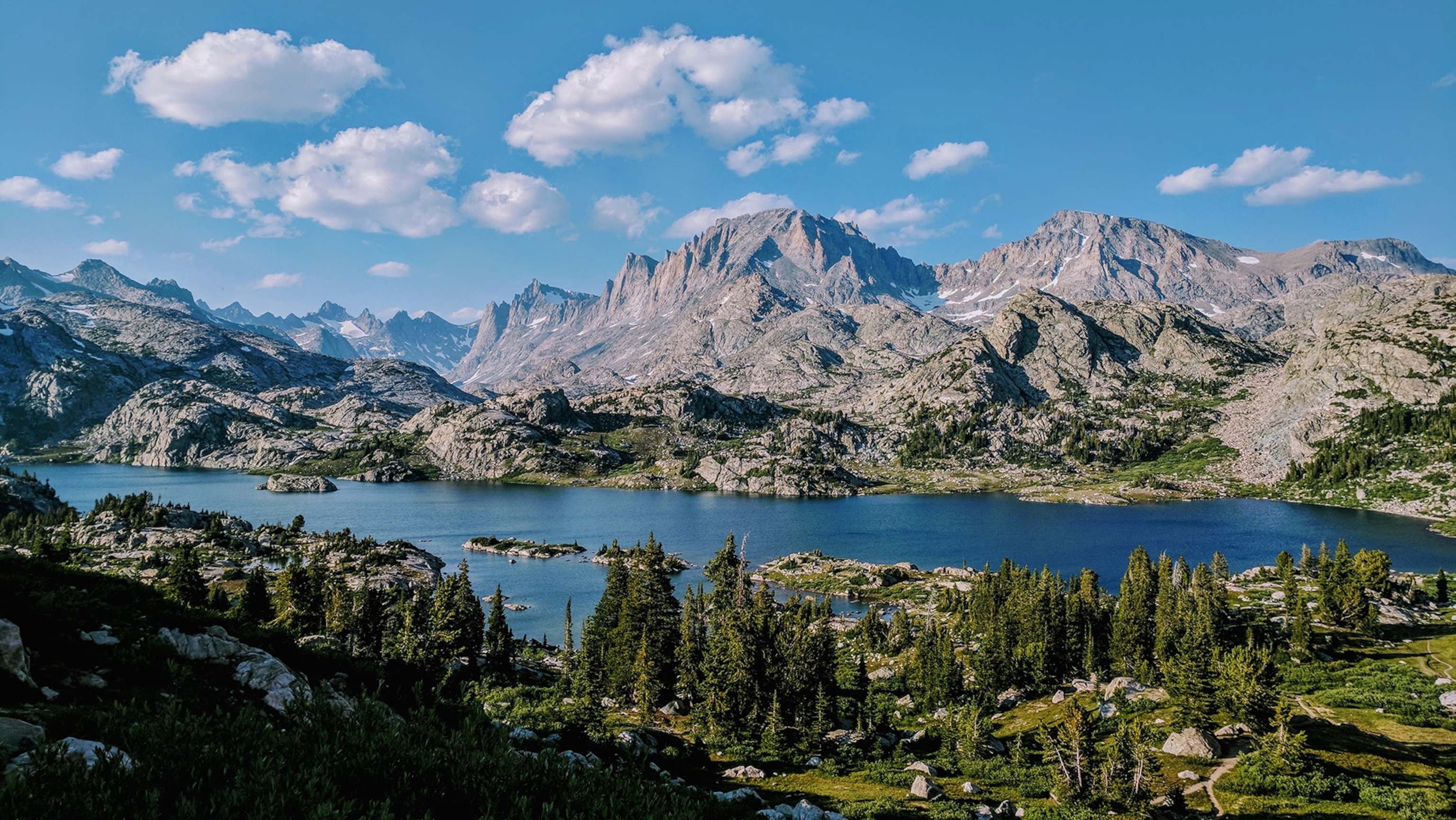
Less visited than Yellowstone and Grand Teton National Parks to the northwest, but an integral part of the Greater Yellowstone Ecosystem, Wyoming’s Wind River Range (“the Winds” for short) is among the most rugged, remote, and spectacular landscapes of the contiguous United States. Home to more than 40 peaks higher than 13,000 feet (3,962 m), the linear mountain range forms 80 miles (128 km) of the North American Continental Divide. Its abundant wildlife and scenery is protected by two National Forests and three designated Wilderness Areas, covering 728,000 acres (295,000 ha) and making it one of the largest roadless areas in the contiguous United States. A portion of the range’s eastern slope is protected by the Wind River Indian Reservation, home to the Eastern Shoshone and the Northern Arapaho indigenous tribes.
The Winds are crowned by Gannett Peak, the highest point in Wyoming at 13,809 feet (4,209 m), which is flanked by five glaciers, including Gannett Glacier, the largest single glacier in the Rocky Mountains of the U.S. Both features are named for geographer Henry Gannett (1846-1914), a founding father of National Geographic Society, and considered by many to be “the father of American map-making.”

A Tribute to Henry Gannett
As Chief Geographer of the USGS, Gannett initiated the country’s unprecedented and highly successful topographic quadrangle mapping program, on which Trails Illustrated and many other maps are based. In 1893 he published the Manual of Topographic Methods, which guided the mapping of the United States for decades. He helped to establish the U.S. Board on Geographic Names to standardize the names of locations, to which he was subsequently appointed by President Benjamin Harrison in 1890 and later chaired. A vice president of the American Statistical Association from 1897 to 1909, he directed the mapping of the U.S. Censuses of 1880, 1890, and 1900, bringing unprecedented accuracy and precision to a cornerstone of American democracy. He also directed national censuses in Puerto Rico, Cuba, and the Philippines.
A lifelong explorer, Gannett was one of the original eight founders of the National Geographic Society, serving as its first secretary, and later as treasurer, vice-president, and president until his death in 1914. He organized its Research Committee that funded expeditions, serving as its chairman until his death. In 1915, National Geographic created the Cartographic Division, the first division of the Society separate from the magazine, perhaps to fill a gap that Gannett’s passing left in the Society after his 27 years of leadership. Henry Gannett’s early influence and cartographic expertise helped National Geographic become the premier map publisher that it is today.
Introducing New Map Features
As with all Trails Illustrated maps, National Geographic cartographers spent time evaluating how they could best serve the recreational needs for the Wind River Range. Through a variety of data sources and input from local experts, including retail partners and staff from the USFS, BLM, WY Game and Fish Department, and the Wind River Reservation Fish and Game Department, the cartographers took a new approach for their maps of the Winds. With unique map coverage and a variety of new map elements, these new maps give users the richest and most comprehensive compilation of outdoor recreation information available for the region.
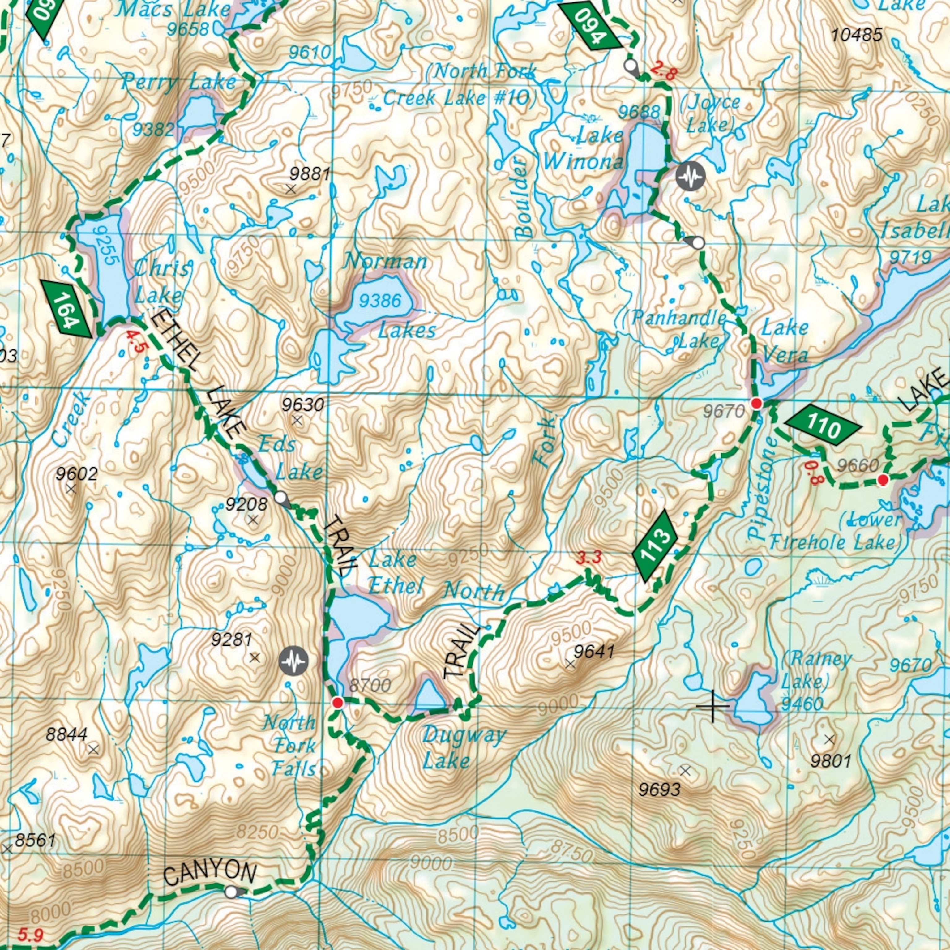
To help users plan safe routes through the rugged terrain, the cartographers introduced new symbology to represent trail segments with steep slopes (>15%). They also labeled all trail heads, intersections, and termini with their elevations, and labeled main road segments with driving distances in a similar way that trail segments are labeled with mileages between intersections.

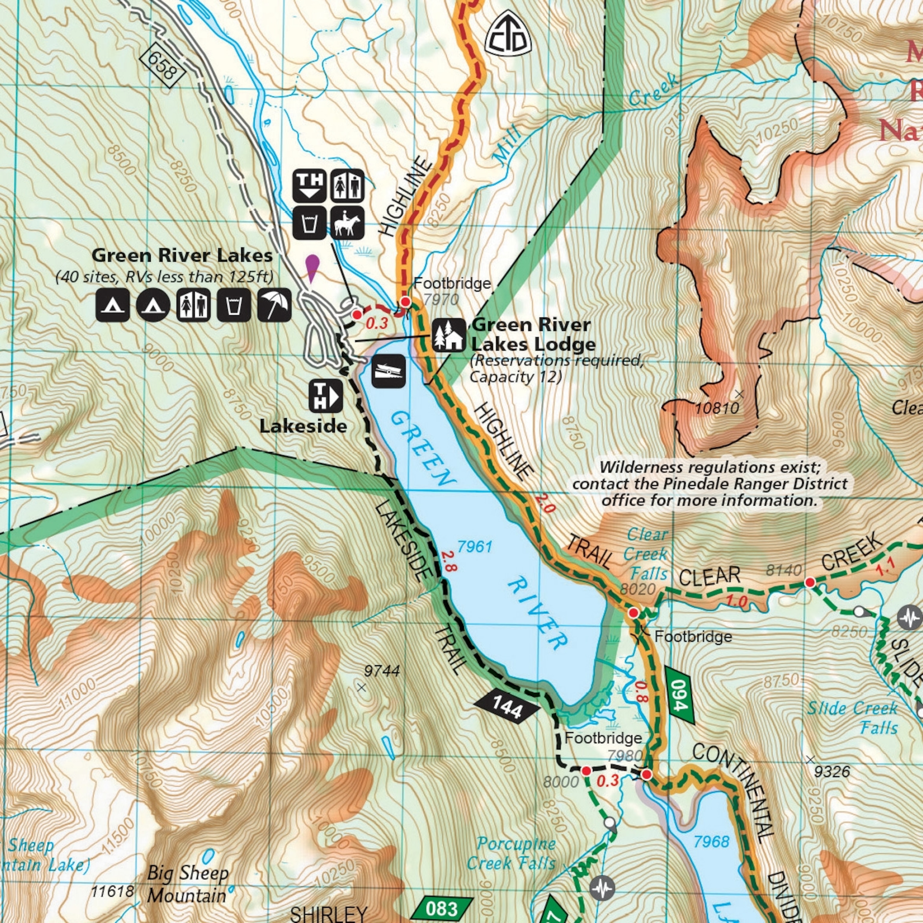
Developed campsites show all of their amenities, including restrooms, drinking water, boat launches, horse facilities, RV lengths, and the number of campground sites. Concessionaire lodging in and around the National Forests has also been mapped, along with recreation opportunities outside the National Forest, including BLM, state, and local camping and biking opportunities near the gateway towns of Lander, Dubois, and Pinedale.
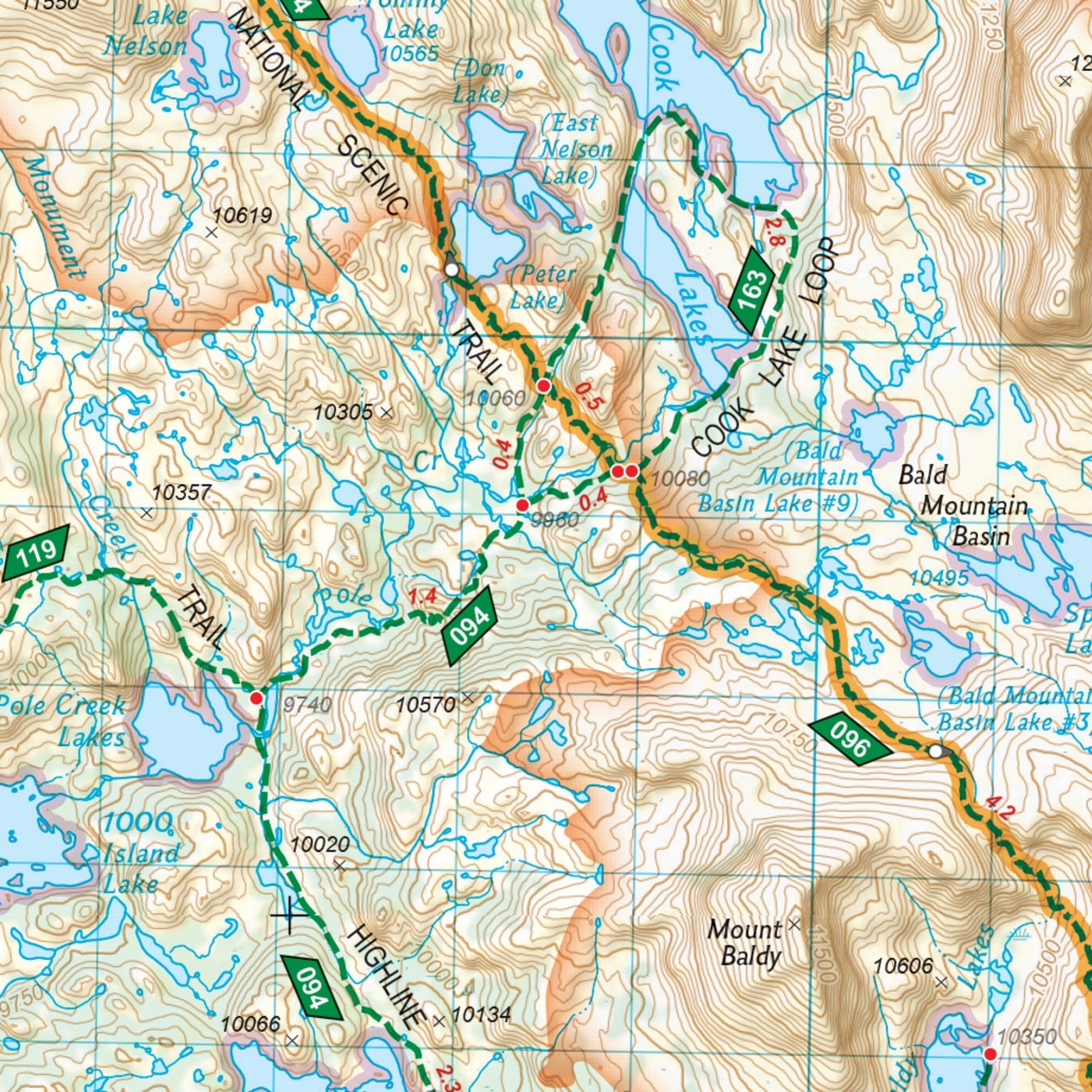
The Winds are a popular destination for anglers, and Wyoming State Department of Fish and Game publishes data on known fish presence for hundreds of lakes in the Winds. So the cartographers added a purple glow around lakes and ponds where fish are known to be present. Lake names on the map link to species lists and fishing reports in the Fish and Game database. Angler access sites are also indicated with a black and white symbol to help anglers find and safely access public fishing opportunities.
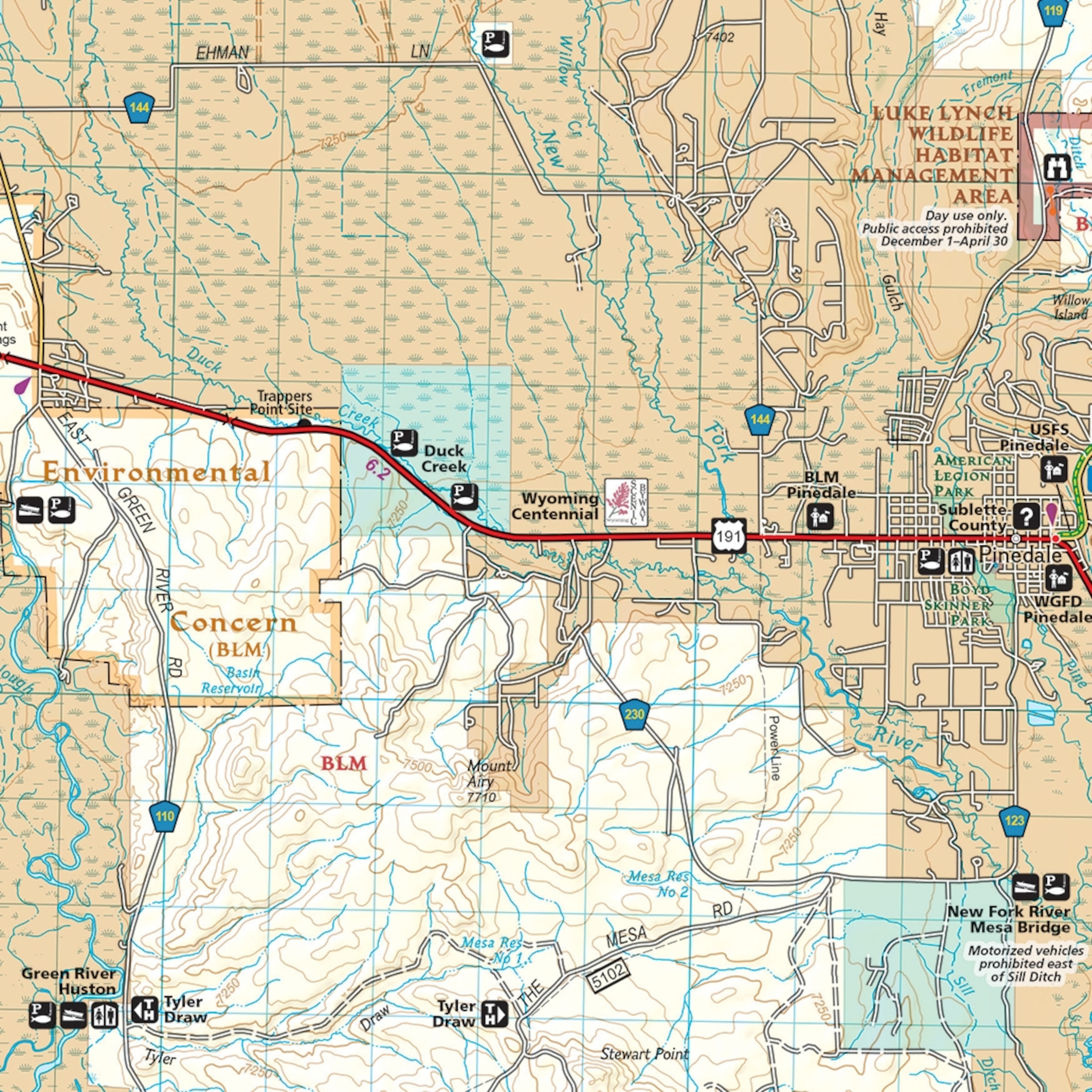
Winter activities are also popular in the Winds, so the cartographers used data from Wyoming State Parks to map snowmobile routes, both groomed and ungroomed, in two different line styles, plus snowmobile staging areas where trailer parking is allowed. Nordic and alpine ski routes and areas are mapped with black and white and highlighted symbols.
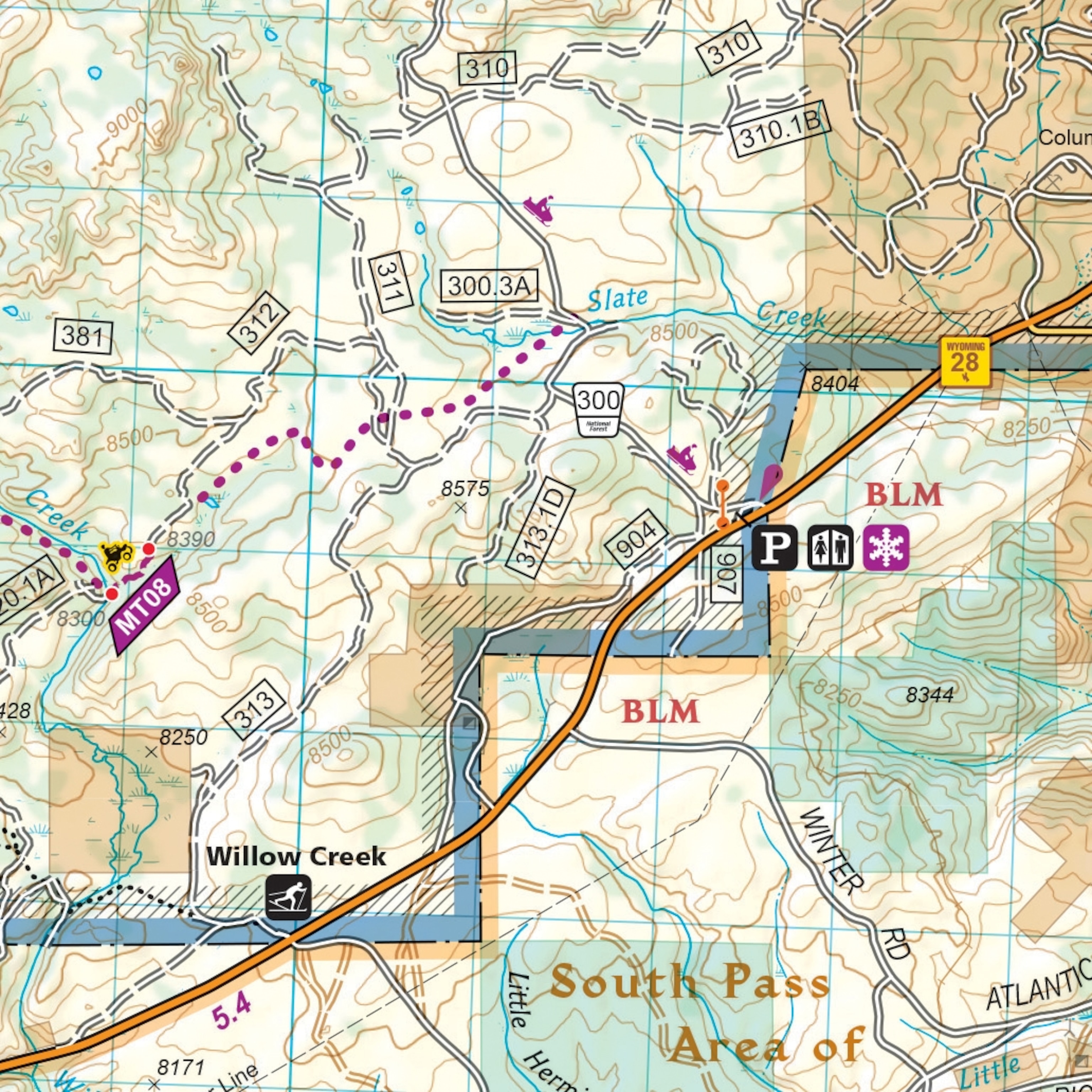
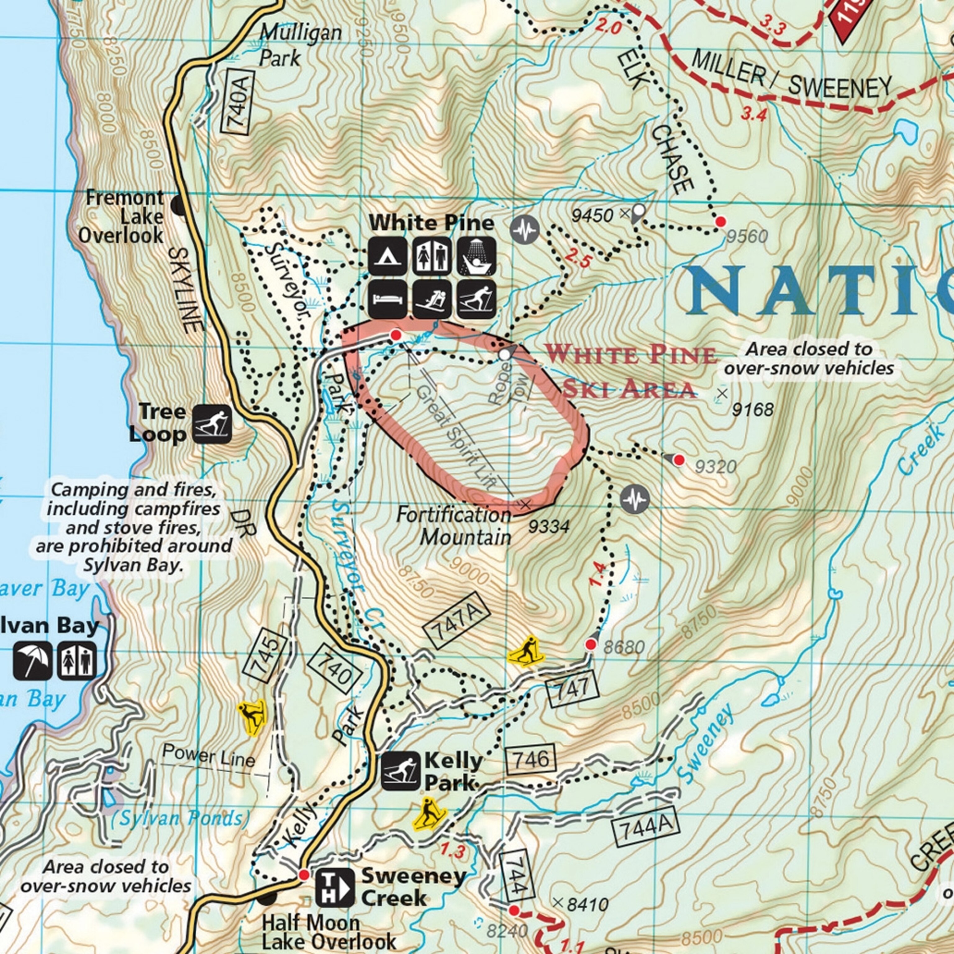
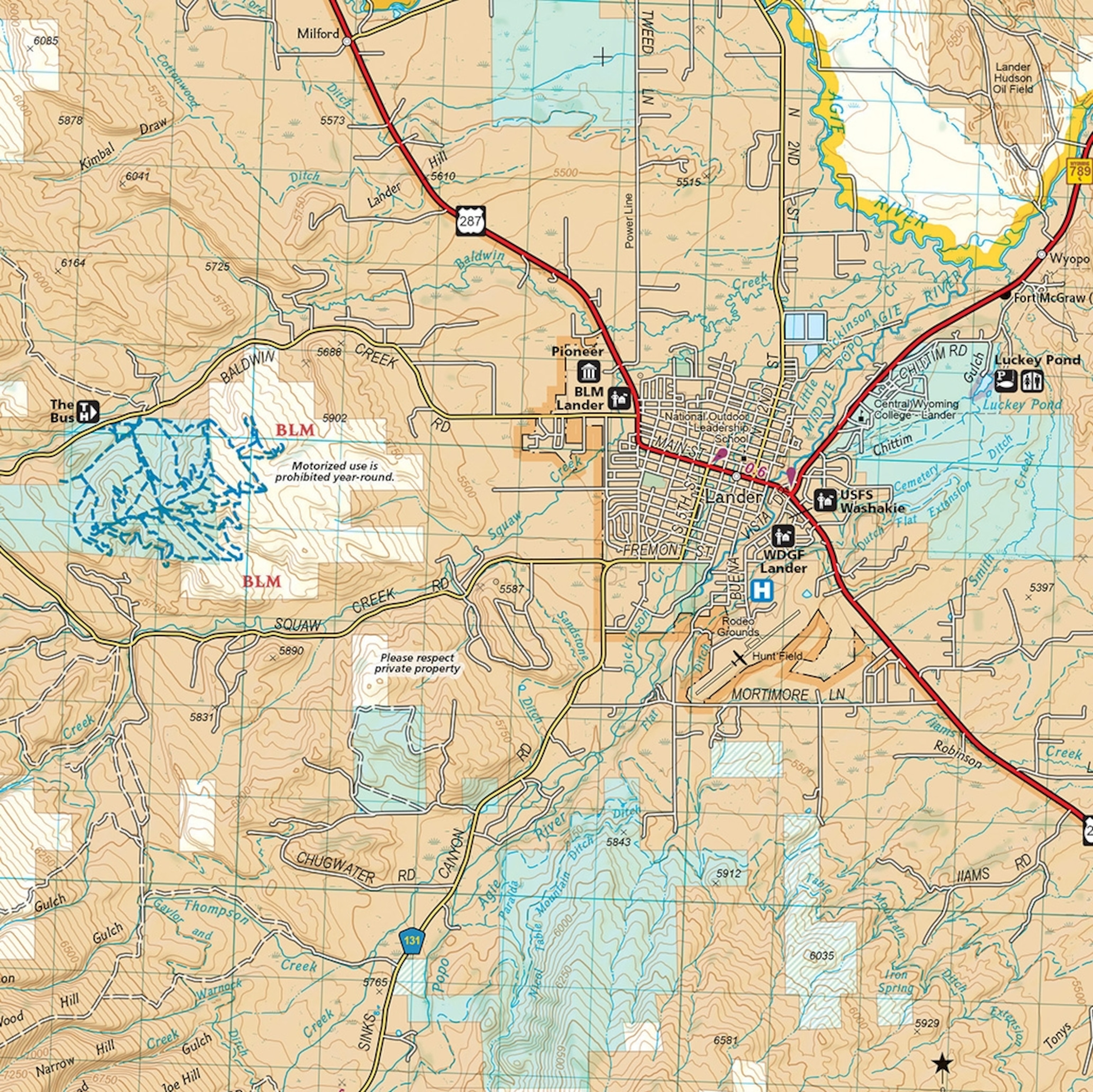
By implementing a 1:70,000 scale, National Geographic cartographers were able to include the gateway towns of Lander and Dubois on the map, as well as important highway corridors and forest access roads, thus providing complete coverage of the Wind River region.
Where and What to Map Next?
National Geographic was expanding the Trails Illustrated product line before the pandemic of 2020 in terms of geographic coverage, map use, and format. This includes standard folded sheet maps for new backcountry areas including the Wind River Range in Wyoming and the Sawtooth Range in Idaho, released in 2020. New formats and titles have also been developed for more casual outdoor activities at local scales in the smaller half-sheet Local Trails format for day hiking and cycling centered on resort towns of Aspen, Vail, Breckenridge, Telluride, and others.
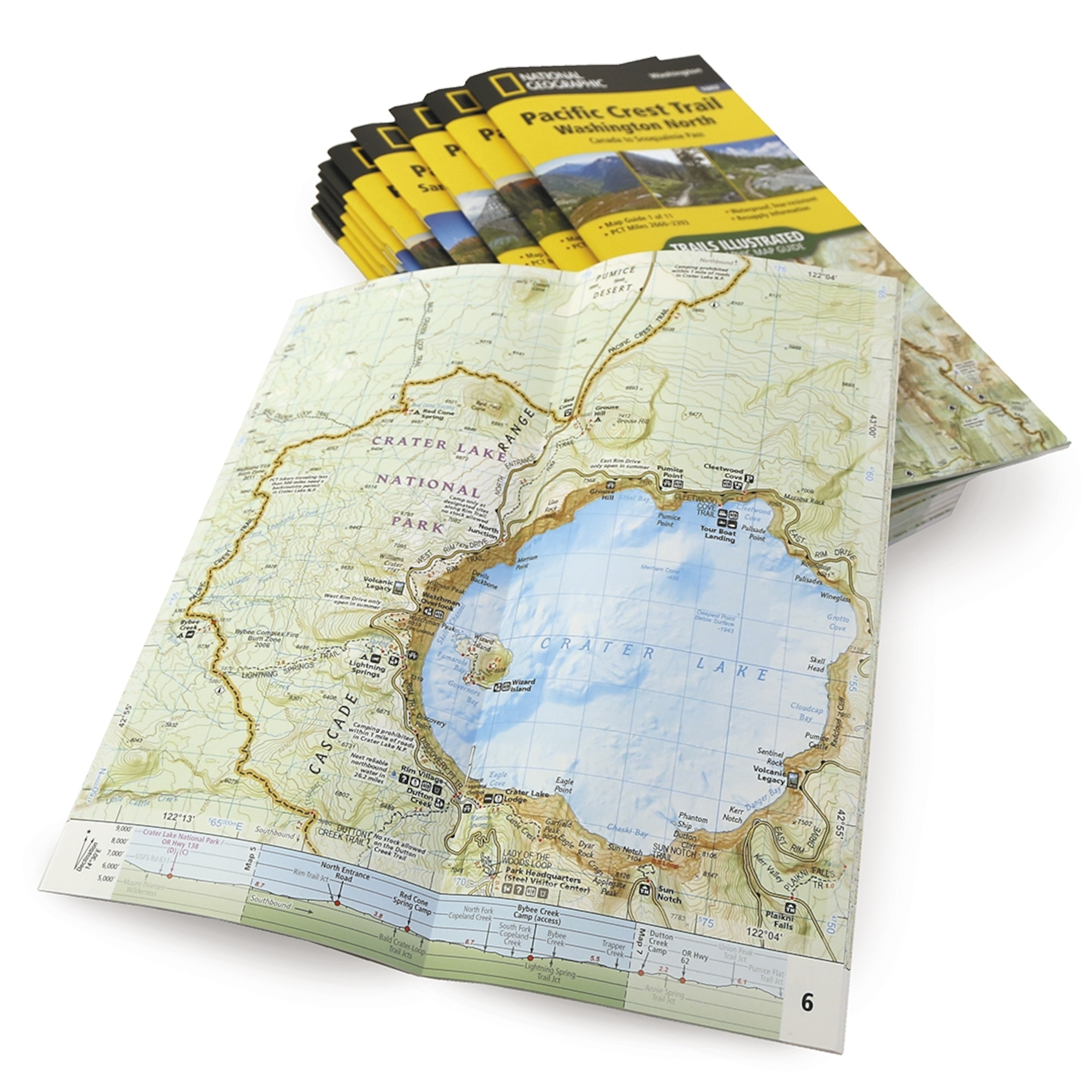
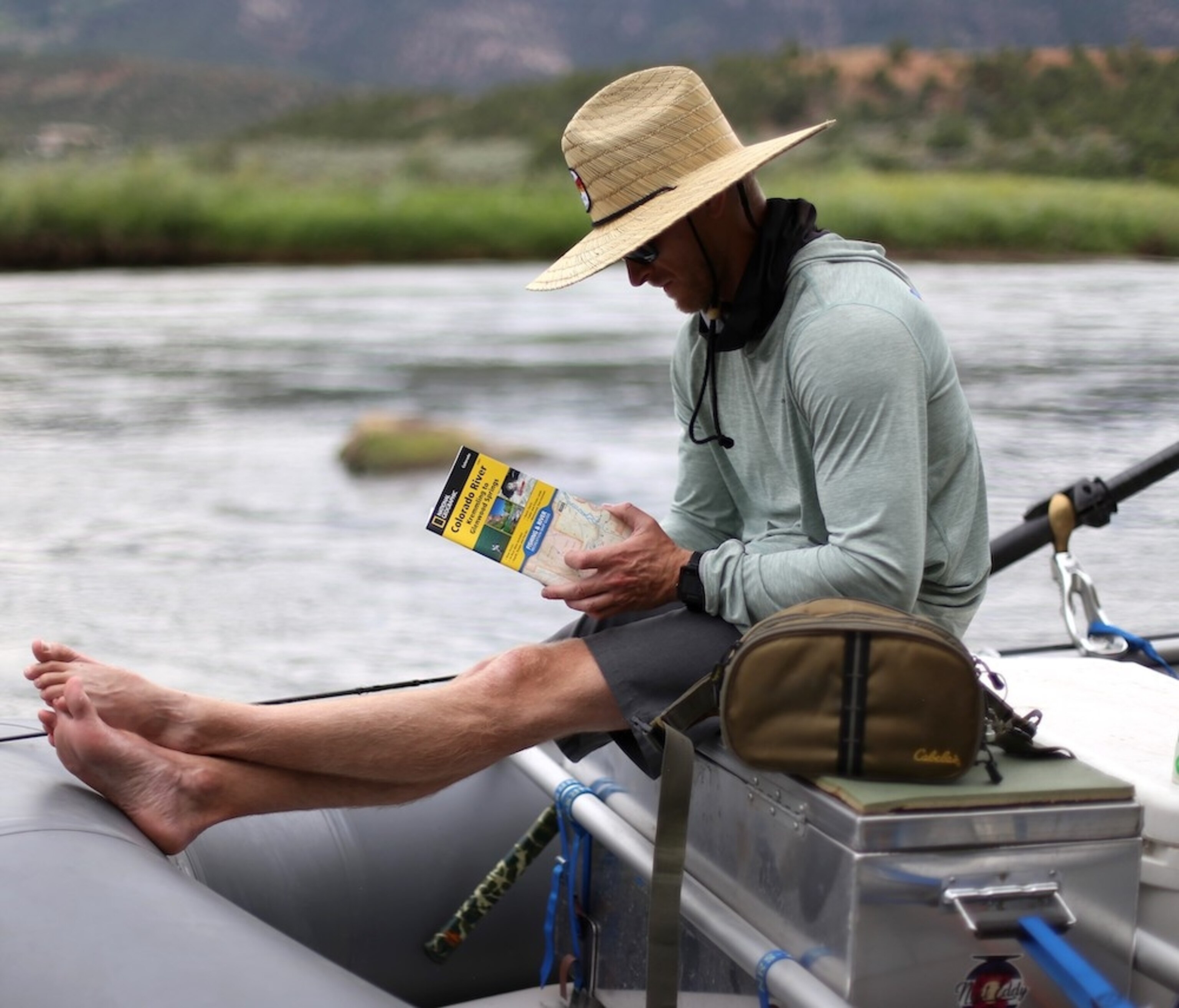
The Topographic Map Guide booklet format has also proven to be successful and versatile, as evidenced by strong sales of long distance trail titles since 2014 including the John Muir, Appalachian, Pacific Crest, and Colorado Trails, and the Haute Route in the European Alps. The booklet format is also used for National Geographic’s Fishing and River Guides—essential information for navigating and fishing Colorado’s Gold Medal trout streams.
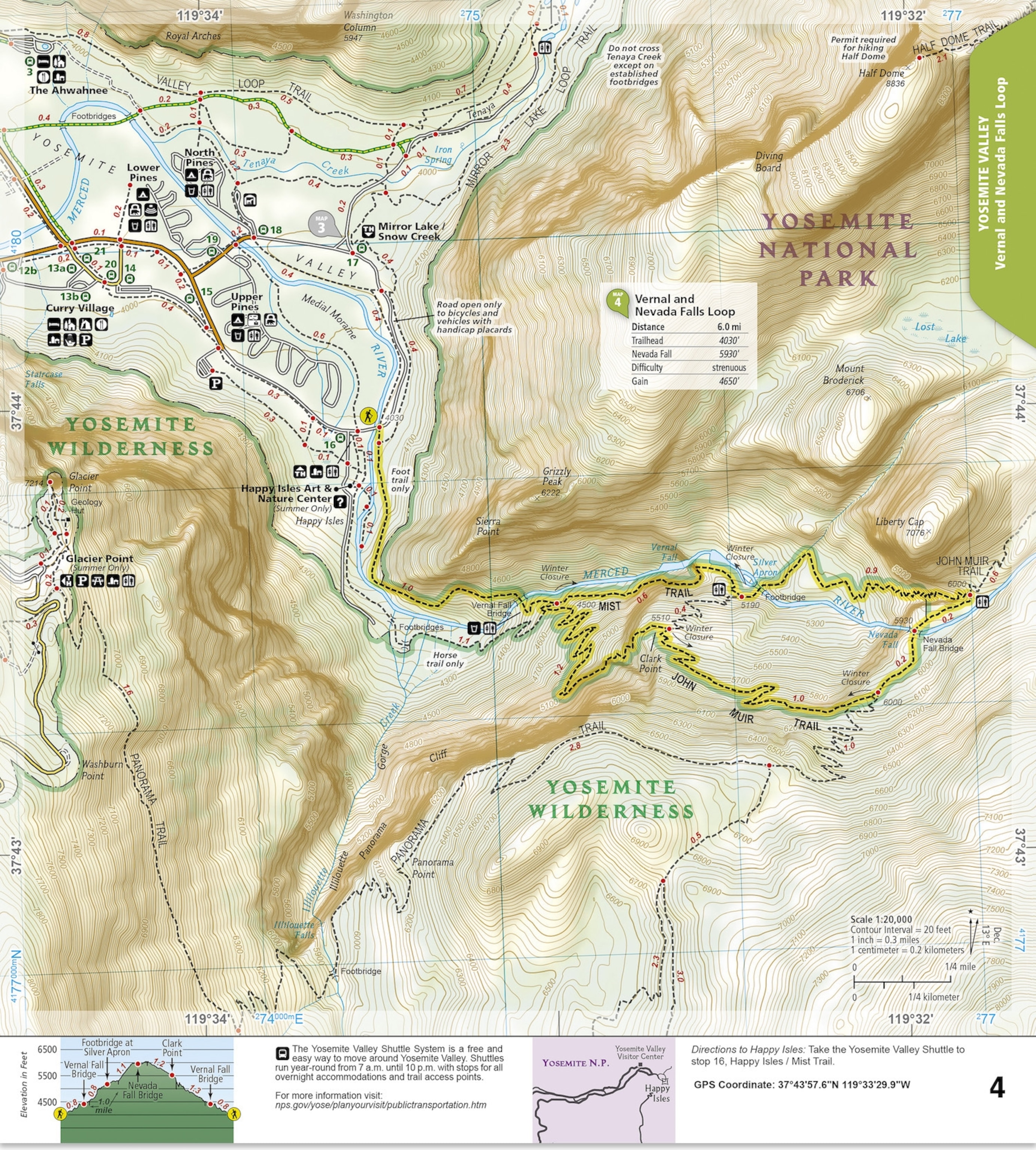
National Park Day Hikes
Initially applied to contiguous long-distance recreation corridors, National Geographic has successfully applied the booklet format to collections of shorter non-contiguous trails. This includes National Park Day Hikes booklets for Yellowstone, Yosemite, Rocky Mountain, Great Smoky, and Shenandoah National Parks, each featuring two-page spreads for 16 to 18 day hikes of varying length and difficulty. The popular series is being rapidly expanded to other National Parks. Topographic Map Guide booklets for Colorado Fourteeners and Colorado Backpacking Loops have also been developed, with others planned and under evaluation.
Although the pandemic brought international travel to a standstill, along with sales of travel maps, sales of domestic recreation maps and road atlases have increased. And it seems likely that the outdoor recreation trend will continue beyond the pandemic, if the pandemic ever ends... This makes the prospect of expanding outdoor recreation titles and exploring new formats and themes stronger in 2022 and beyond.
Frank Biasi is a geographer, producer, and editor for National Geographic Maps in Evergreen, Colorado.
For more information about National Geographic's maps, atlases, and globes, visit NatGeoMaps.com or NatGeo.com/Maps