Amid Epic Early Snows in Buffalo, Explaining the "Lake Effect"
Some of western New York gets more than eight feet of snow in two days.
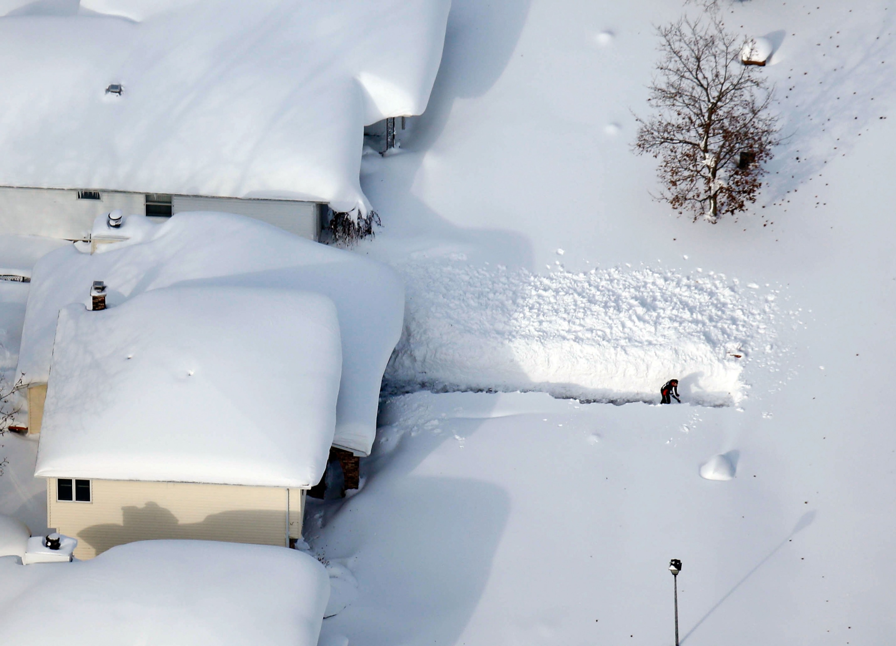
Spurred by a deep cold that's swept across much of the country and by a localized lake effect, part of Buffalo, New York, is expected to see nearly nine feet (2.7 meters) of snow by the end of the day Thursday.
That's up to three feet (one meter) of snow, on top of nearly six feet (two meters) that fell in parts of the city on Wednesday, says John Hitchcock, a meteorologist with the National Weather Service in Buffalo.
New York Governor Andrew Cuomo told reporters that "this snowfall is going to break all sorts of records, and that's saying something in western New York and in Buffalo ... It's going to get worse before it gets better."
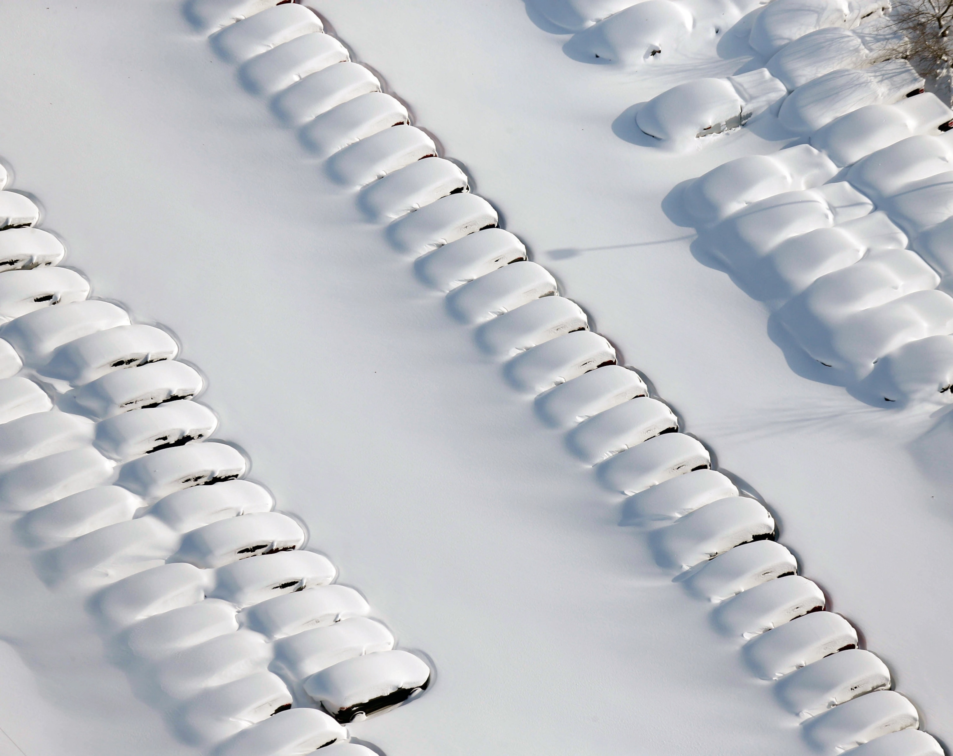
Meteorologists estimate that this week's storm will rank in the top five biggest the region has ever seen. Normally, Buffalo gets an average of 93.6 inches (238 centimeters) of snow, or nearly eight feet (2.5 meters), in an entire year.
Still, Hitchcock notes that western New York "has had really large lake-effect snows in November before, so it's not all that unusual."
So what exactly is lake-effect snow, which has been blamed for eight deaths so far in the Buffalo area?
The phenomena occurs when unusually cold air comes down from the Arctic and blows over Lake Erie from the northwest, where it picks up large amounts of moisture that becomes snow. The first lake-effect blast of snow arrived on Wednesday, and after a 12-hour break, it was followed by a second blast on Thursday. (Learn about the forces behind the unusual cold.)
In the first round, up to 65 inches (165 centimeters) of snow fell on some of Buffalo's southern suburbs, such as Lancaster and Elma. But just 4 to 8 inches (10 to 20 centimeters) fell on northern Buffalo. On Thursday, the heaviest amounts of snow, between one and two feet, have fallen just south of the southern suburbs.
"The thing people need to understand about lake-effect snow is that it is highly localized," says Hitchcock.
During heavy snow events, the biggest drops are often limited to a zone that's up to about 10 miles (16 kilometers) wide, which is determined by wind patterns. That explains why areas north of Buffalo have seen hardly any snow this week.
By the end of the day Thursday, up to a total of three feet will have fallen on the southern suburbs, Hitchcock predicts. Then, the storm is expected to end.
Asked if the snowstorm suggests that frigid Arctic air from the so-called polar vortex may be coming south more often because of the changing climate, Hitchcock says, "We can't draw any conclusions ... This is short-term weather."
The National Weather Service, meanwhile, released its latest prediction maps for the U.S. on Thursday. Western New York is actually expected to get a little less precipitation than usual in the period from December to February. The Southeast is expected to be colder than average, with more precipitation, while the West is expected to be warmer, with mixed precipitation levels depending on location.
Share your lake-effect snow experiences in the comments section.

