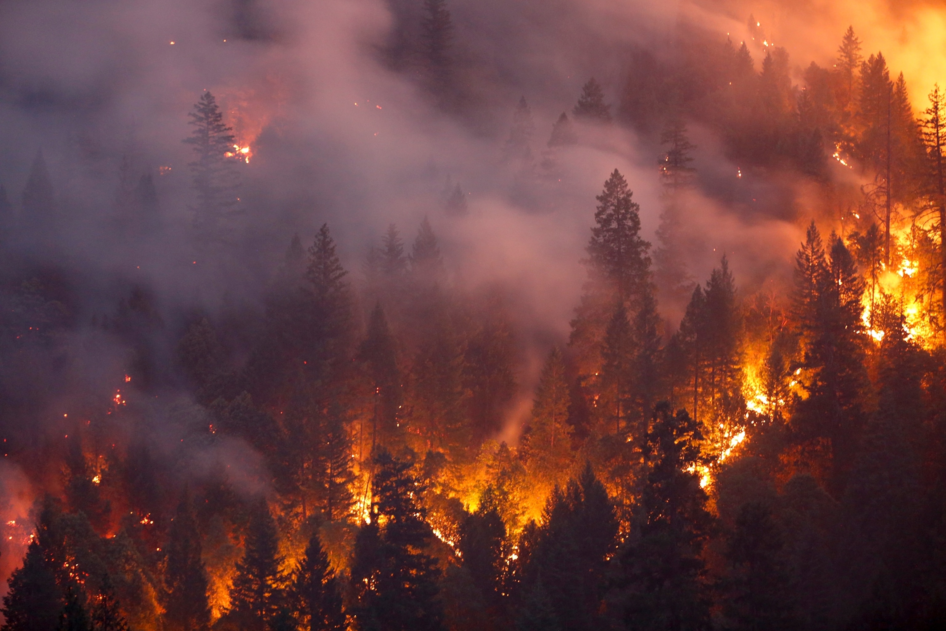
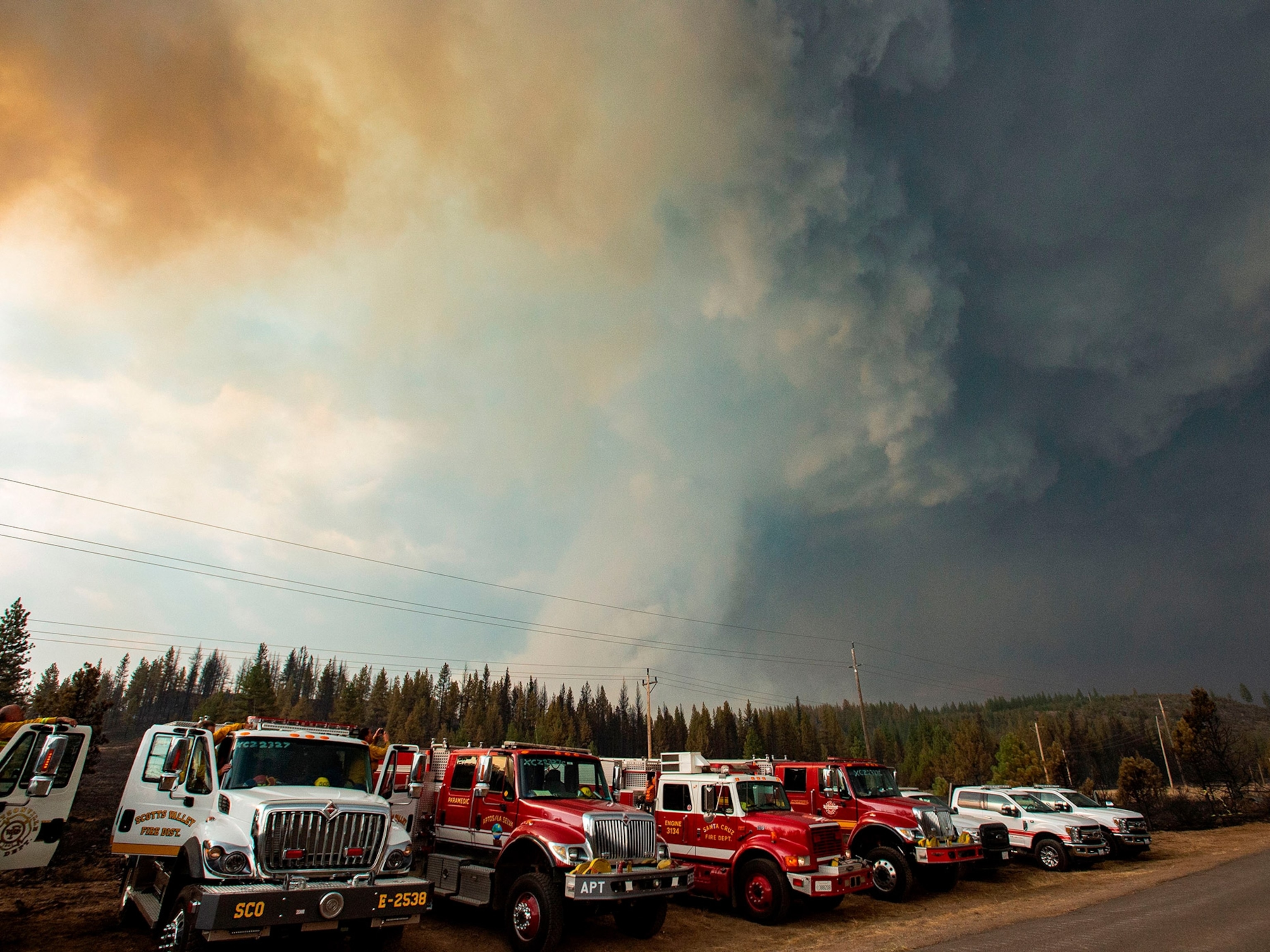
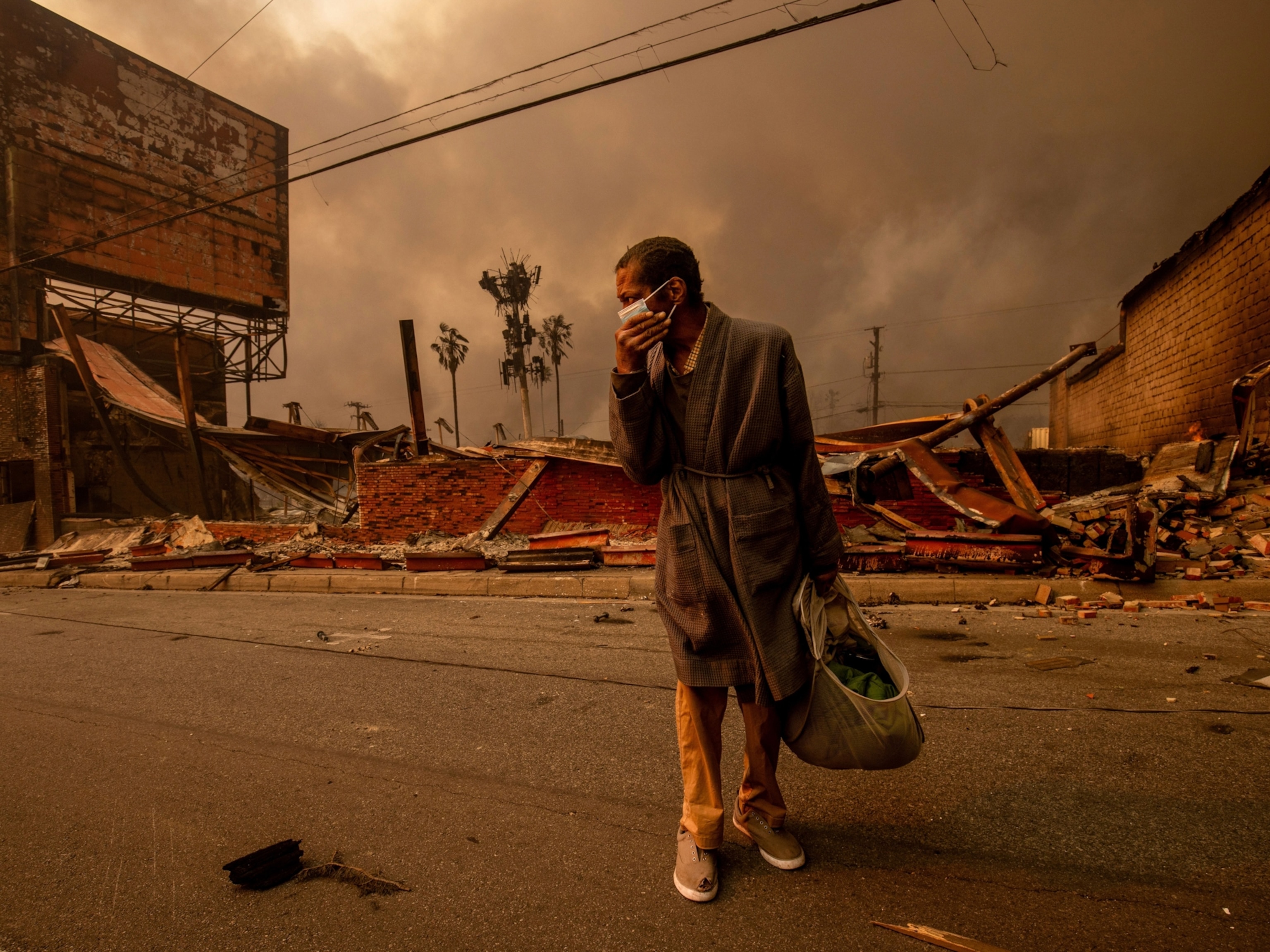
This year, California has been no stranger to highly destructive wildfires. One such conflagration was this summer’s Carr Fire, which burned through nearly 230,000 acres, destroyed 1,079 homes, and killed at least seven people.
The Carr Fire also engaged in some meteorological sorcery on July 26, as it conjured up an intense fire vortex: a blazing funnel with winds reaching 143 miles an hour and temperatures up to 2,700°F. The spinning blaze was about as intense as an EF-3 tornado, and it sent meteorologists scrambling to try and understand whether it was an oddly strong fire whirl—more akin to a dust devil—or a bona fide fire tornado.
It’s possible that true fire tornadoes are exceptionally rare. To date, only one other potential occurrence, during the 2003 firestorm around Canberra in Australia, has been scientifically documented. Several other large fire-generated vortices have been observed that might have been fire tornadoes, but they weren’t systematically recorded and studied.
The dangers posed by wildfires make these furious phenomena not just “hazardous to observe, but perhaps also sometimes inappropriate in the context of the more immediate concerns of protecting lives,” notes Neil Lareau, a professor of atmospheric sciences at the University of Nevada, Reno. With that in mind, some mysteries will likely linger.
Now, though, Lareau and his colleagues have used cutting-edge satellite and radar data to reveal how the California fire vortex became a tornado-strength beast, offering critical new clues to our understanding of these potentially deadly events.
The violence of vortices
Per the American Meteorological Society, a tornado is a rotating column of air hanging off a cumuliform cloud, which is the flat-bottomed, puffy variety often associated with thunderstorms. Tornadoes are tall structures that spin violently, and they are usually measured on the Enhanced Fujita (EF) Scale, which ranges from zero to five according to wind strength estimates based on the damage caused.
By contrast, fire whirls commonly appear during wildfires, and they are not technically tornadoes. These ephemeral events last only a few minutes, spin weakly, and reach no more than 150 feet tall. They form when an updraft caused by the flames twists and vertically stretches the wind rushing inward.
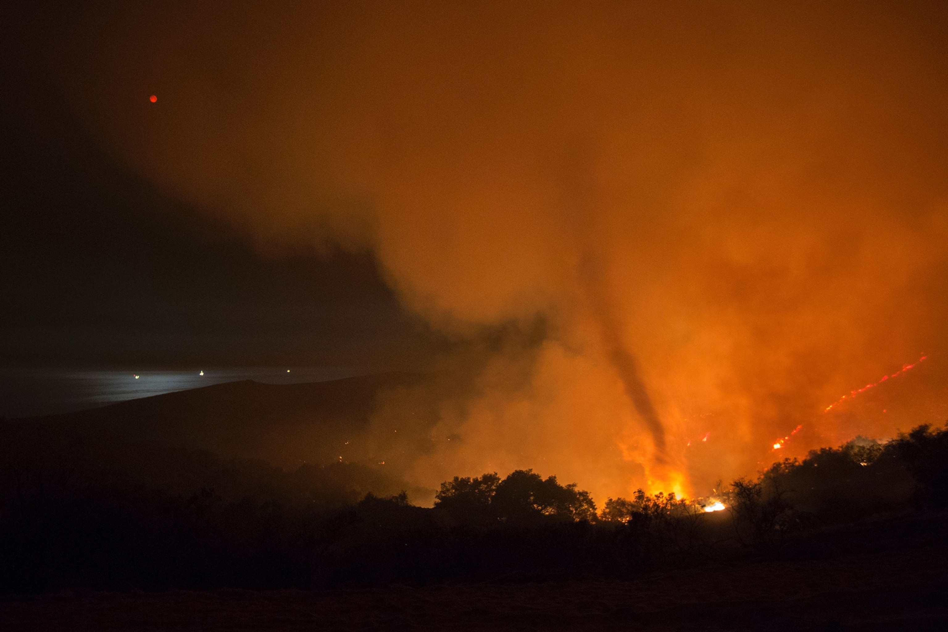
Fire vortices are larger and more intense than fire whirls. So where does the notably intense July 26 vortex fit in this family of spinning spectacles? That depends on how it formed, and serendipitously, the vortex that day was caught by several fixed radar stations.
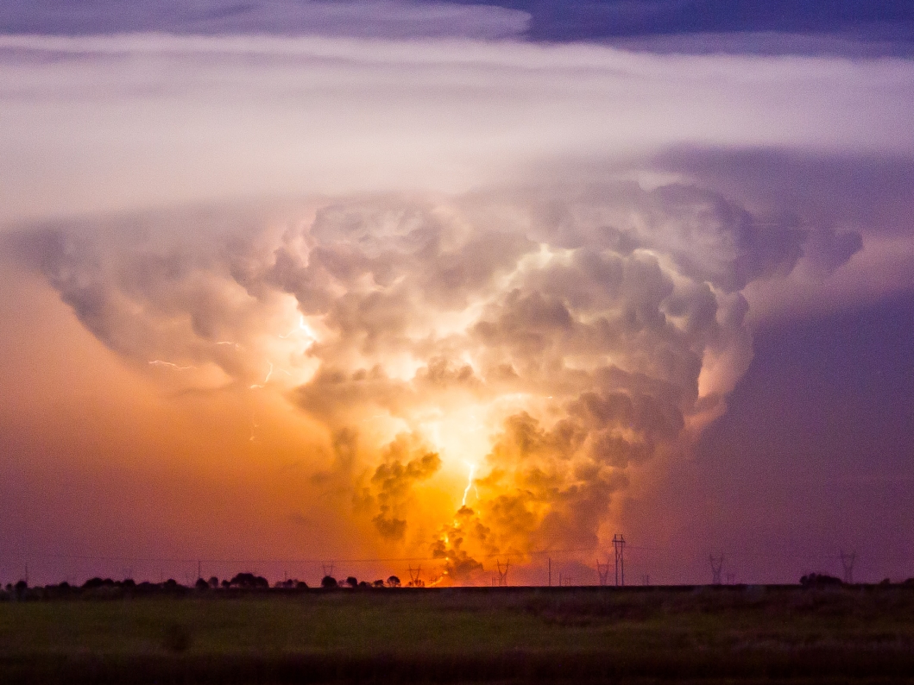
The data confirm that a pyrocumulonimbus cloud was present above the fire vortex that day. These billowing, thunderstorm-capable clouds are generated by a wildfire’s intense, thermally driven updraft. During the Carr Fire, the pyrocumulonimbus cloud that formed stretched in size from 3.7 to 7.5 miles in just 15 minutes.
As it did so, the fire vortex went from its infancy to a monstrosity, with its winds rapidly intensifying as it reached more than 3.2 miles into the air. This dangerous dance meant that what was happening was more tornado-like than a regular fire vortex.
However, as the team reports in a November issue of Geophysical Research Letters, the data don’t show the fire vortex physically connecting with the cloud’s underbelly, so it’s still unclear whether it was a true fire tornado, or “pyrotornado.”
Change is in the air
The fire vortex wouldn’t have become the colossus it was without that cloud, says study coauthor Nick Nauslar, a fire weather forecaster at the National Oceanic and Atmospheric Administration’s Storm Prediction Center. One lingering question is why pyrocumulonimbus clouds regularly form over wildfires but only rarely trigger fire tornadoes.
The Carr Fire event also behaved very differently from its cousin in Canberra. For one thing, it had a short damage path of around 3,300 feet, compared to the Canberra event’s damage track that was 12.4 miles long.
Also, unlike its Australian relative, the Carr Fire vortex seemed to be highly dependent on the wildfire’s fury, while the Canberra version broke free a few times, repeatedly lifting up from the ground.
The study is a nice analysis that links pyrocumulonimbus formation and vortex intensification, says Craig Clements, the director of the Fire Weather Research Laboratory at San José State University, who wasn’t involved in the study. “However,” he adds, “it does not advance our understanding on what caused the vorticity to form in the first place.”
That means we can’t yet forecast these events, but if more meteorological observations with cutting-edge technology are made on the fire line, we might be able to detect concerning circulations in advance. Even with just a few minutes of warning, Clements says, this could “really help save lives.”
Unfortunately for us, opportunities to gather more data on fire vortices may be easier to come by than we would like. Wildfires are unquestionably exacerbated by our continued predilection for fossil fuels, and according to Lareau, the drier conditions brought on by the shifting climate may contribute to the development of both tornado-strength vortices as well as genuine fire tornadoes.
In essence, he says, “longer fire seasons equate to more opportunities for extreme outcomes.”
