Hurricanes Are Moving Slower—And That's a Huge Problem
When tropical cyclones slow, they drop far more rain, sparking even more devastating floods. Future climate change is expected to slow them still more.
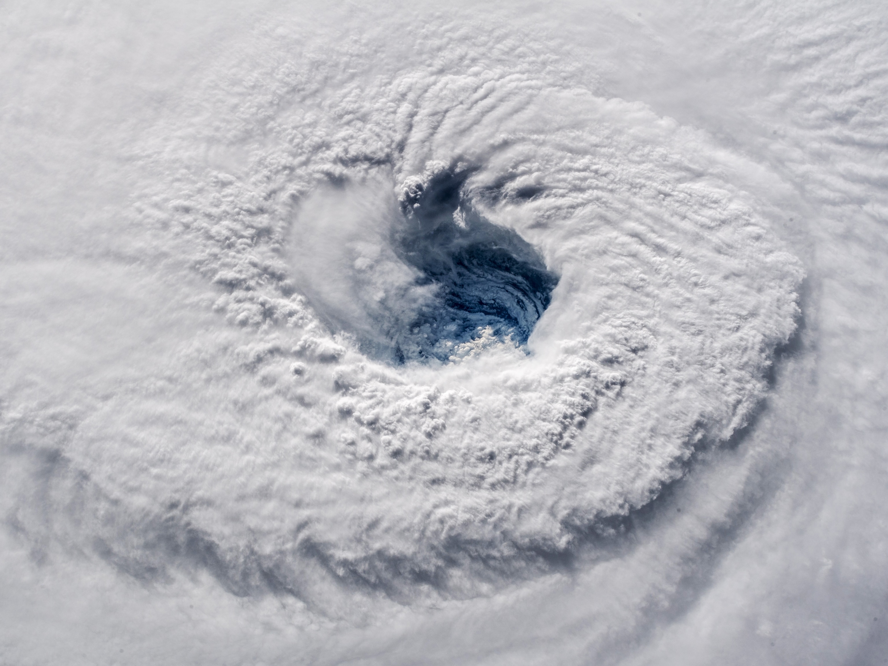
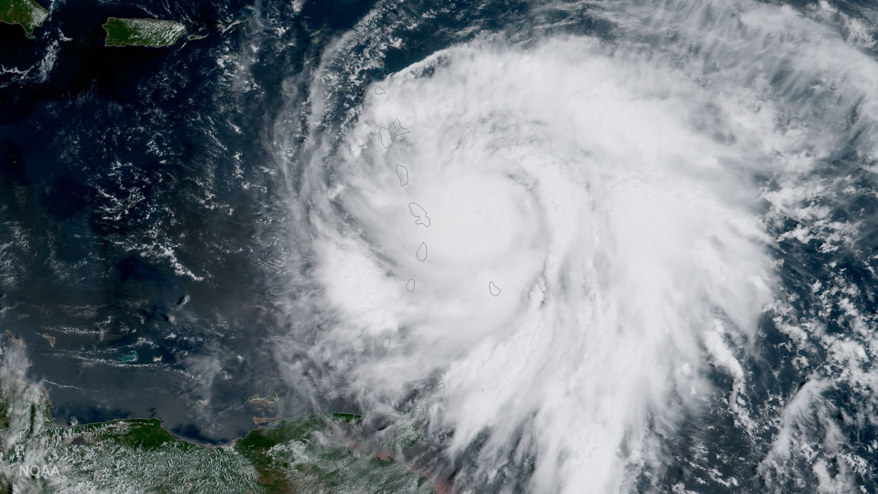
Tropical cyclones, including hurricanes and typhoons, are now crawling across the planet at a slower pace than they did decades ago, dragging out and amplifying their devastation, new research published Wednesday shows.
At the same time, related research published just last month suggests that warming temperatures from climate change will slow storms more in the future.
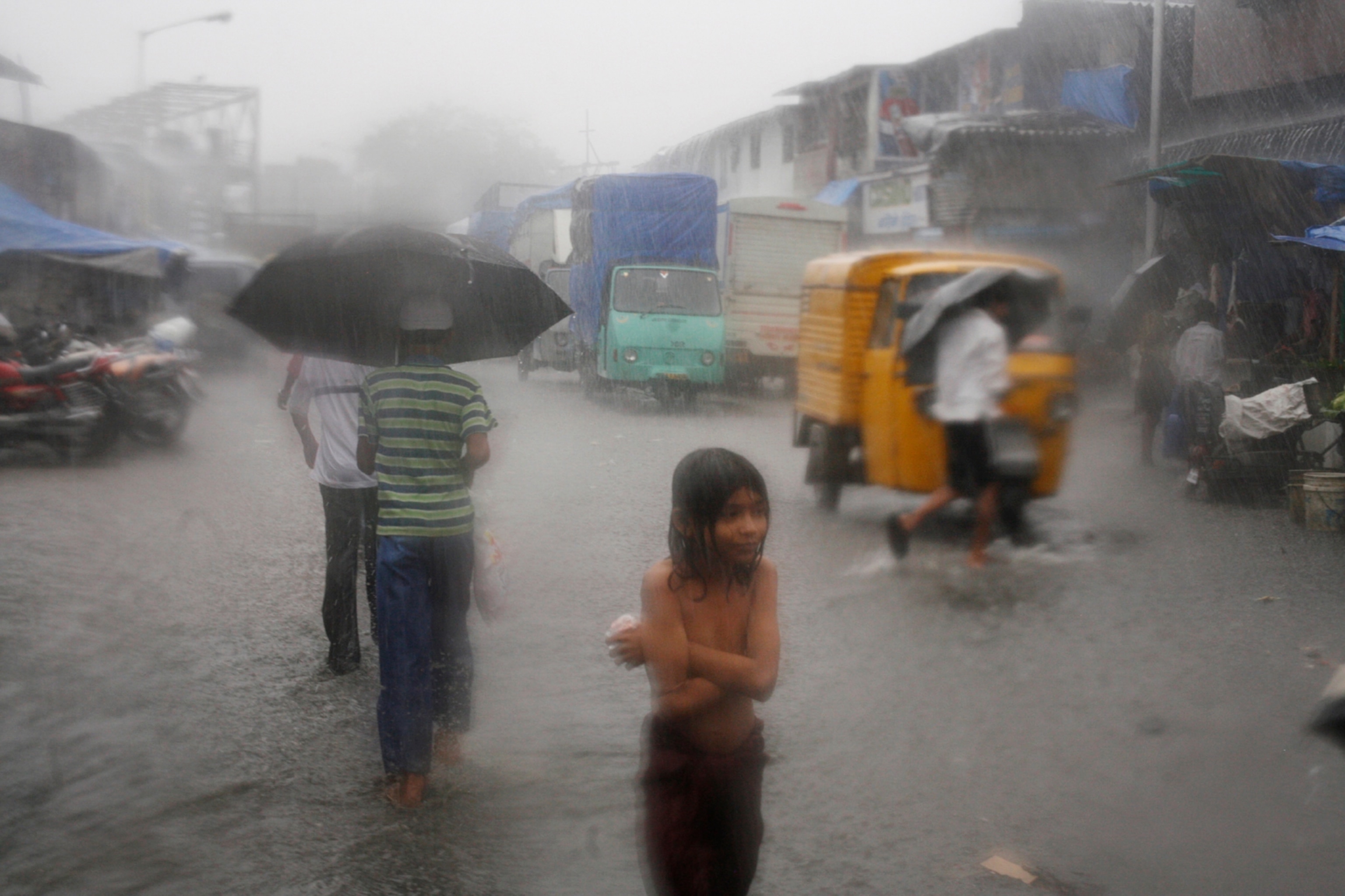
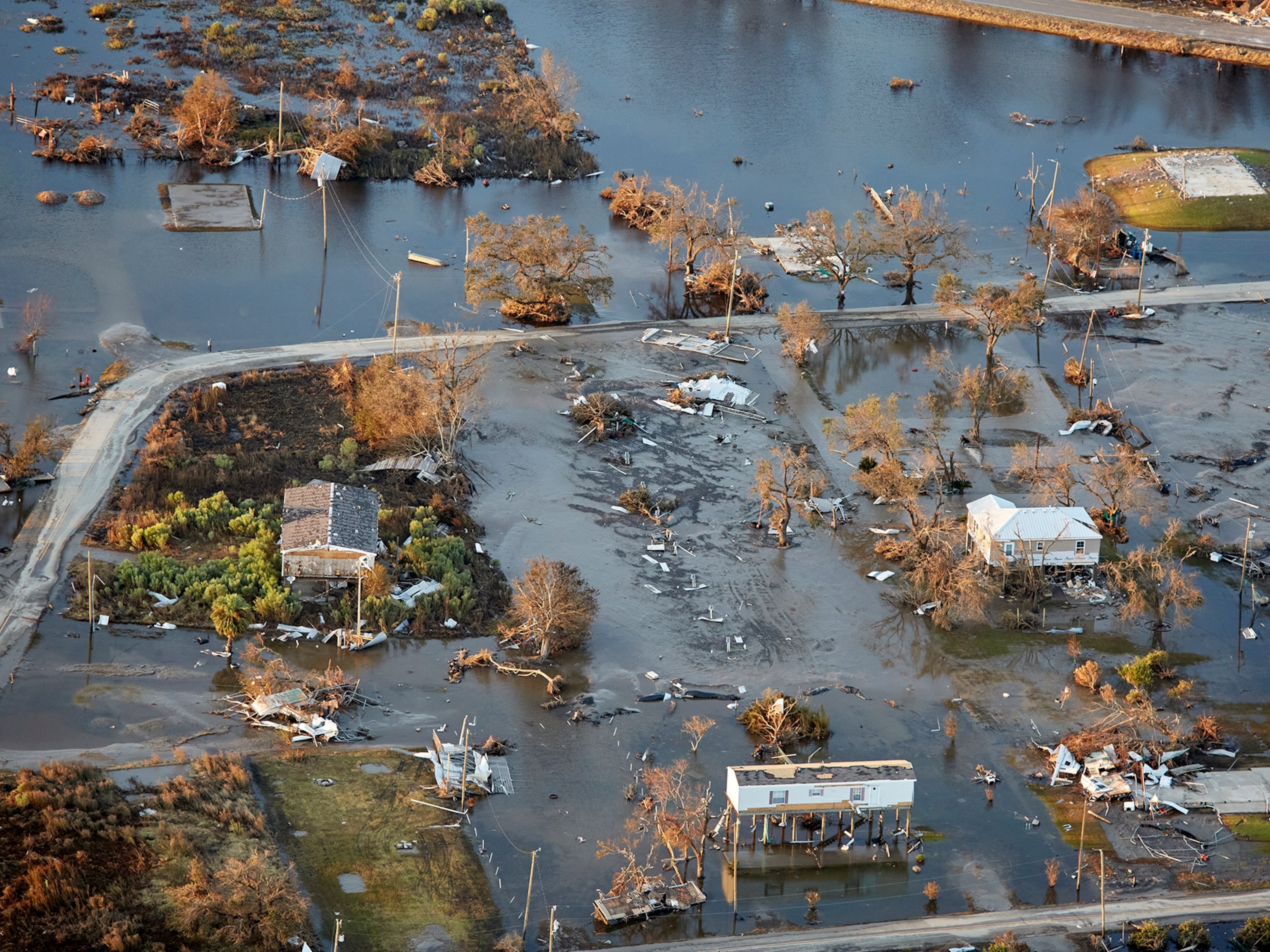
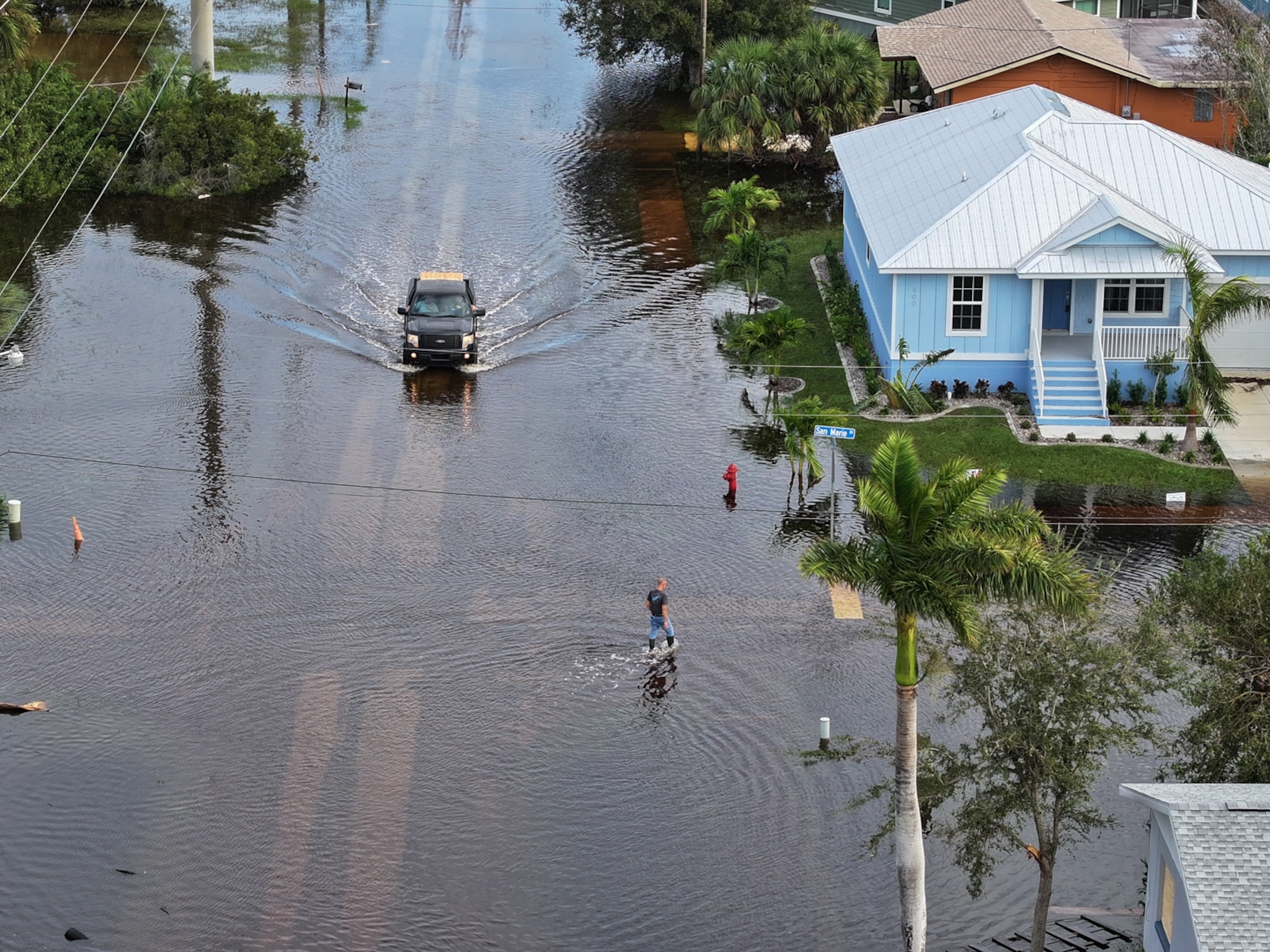
While having a cyclone travel with less speed may seem like a good thing, it's actually just the opposite. Wind speeds within the storm remain high, but the whole system itself moves slower across the landscape, allowing punishing rains to linger longer over communities.
Taken together, these two studies suggest that climate change is already increasing the dangers posed by hurricanes and typhoons in far more ways than previously thought, and it will continue to compound many of the hazards, especially the threat of severe flooding.
"Nothing good comes out of a slowing storm," says James Kossin, with the National Oceanic and Atmospheric Administration's Center for Weather and Climate in Madison, Wisconsin, and author of the first paper, published today in the journal Nature. "It can increase storm surge. It can increase the amount of time that structures are subjected to strong wind. And it increases rainfall."
Driving Devastation
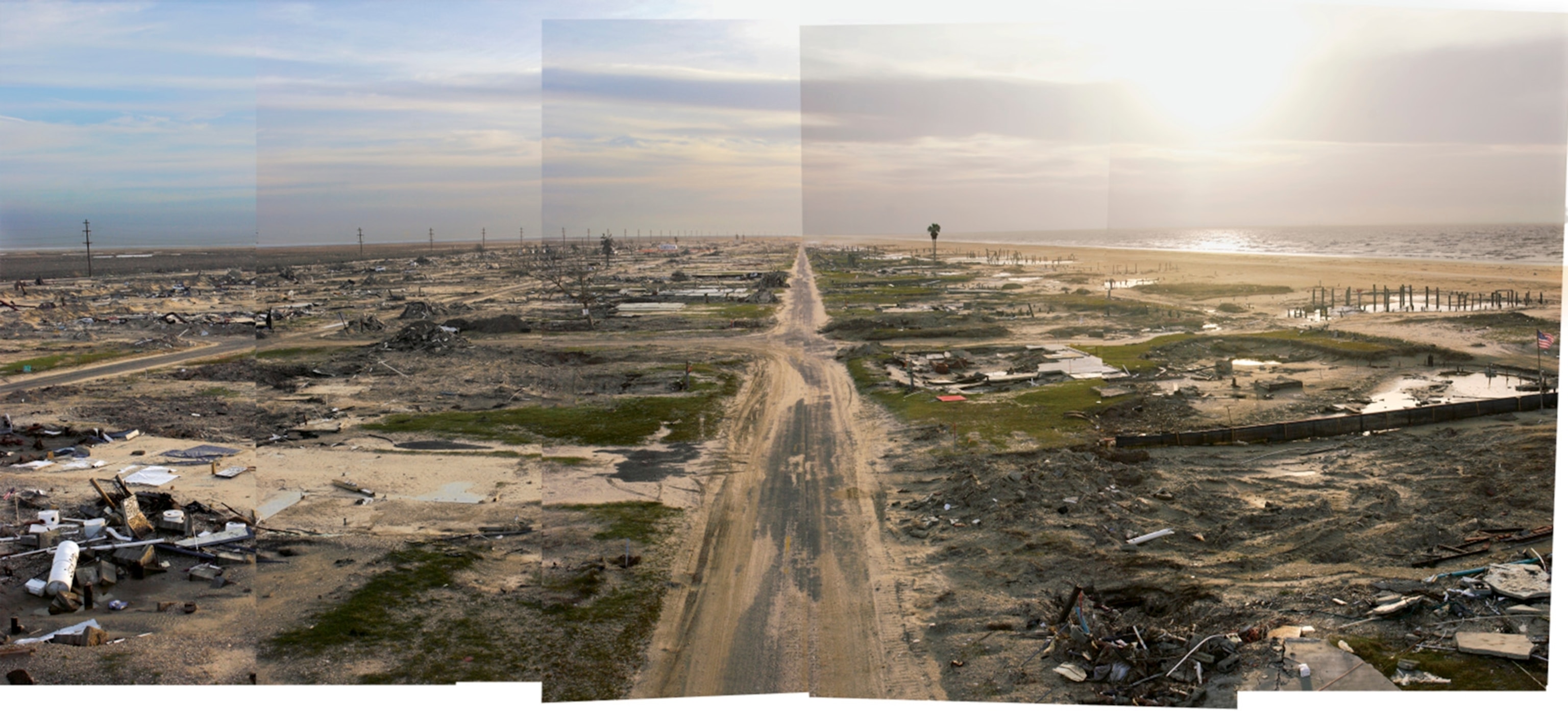
In the wake of Hurricane Harvey's torrential rains, which dumped several feet of water on sections of Houston, Texas, last August, scientists showed that warmer sea and air temperatures pumped more moisture into the storm—which then fell as rain. Climate change increased both the intensity of the rainfall and the likelihood that the storm would occur.
In his paper, Kossin found yet another way changes in storm patterns are sparking greater devastation. He showed that from 1949 to 2016, tropical cyclones across the globe slowed their movement by 10 percent on average. In some regions, the pace of those storms slowed even more as they hit land. In the western North Pacific, the decline was almost a third. That means a storm that may already hold more moisture will have time to drop more of it in each spot.
With the exception of the Indian Ocean region, which tends to behave differently, "all the other regions show this consistent slowing," Kossin says. "The trend is always in one direction."
Kossin's work was based on details of almost 70 years' worth of storms, but he made no attempt to determine what was causing the slowdown. Still, the shift is precisely what he and other cyclone experts said would be expected from climate change. With polar regions warming faster than other parts of the globe, that is altering pressure gradients, reducing the winds that push these storms.
"Tropical cyclones are just carried along by the wind, so it makes sense," Kossin says. "The storms will stay in your neighborhoods longer."
Christina Patricola, a scientist with the climate and ecosystem sciences division of California's Lawrence Berkeley National Laboratory, called Kossin's work "important and new" and says she found it "pretty convincing."
"I was not surprised by his findings," she says. "But I was surprised by the magnitude of the slowdown."
In an editorial accompanying Kossin's work, she points out that it raises several new questions. For instance, if exceptionally slow-moving storms have grown more likely in recent years, does that mean "stalled" storms like Harvey—which seemed to get stuck in place for days—are increasing, too?
Kossi hopes that scientists will begin building models that show which communities are likely to face the most risk. Given that storms in some regions are migrating poleward and already increasing in intensity, cyclones delivering unusually powerful bouts of rain may threaten places not normally in their path. "These are not good things to be combining," he says.
Increasing Flooding?
In the second study, published in the Journal of Climate, a team led by Ethan Gutmann, with the National Center for Atmospheric Research in Boulder, tried to see how 22 hurricanes that hit in the last 13 years might be different if they hit in the future under a warmer climate.
By plugging storm data into computer models representing a future with temperatures that are up to five degrees warmer, they found that these cyclones moved 9 percent slower and were far, far wetter. Rainfall, on average, increased 24 percent.
"We're showing that it not only slows down, but that it's more intense," Gutmann says. "That has serious implications for inland flooding and urban infrastructure."
Gutmann and Kossin took entirely different approaches—one looking at historical data; the other using modeling to see how storms would behave under predicted warming scenarios. And there are limits to each approach. No storm from today will reproduce in quite the same way in the future.
But both scientists say the importance is in the bigger picture. The fact that their results show quite similar trends should be a wake-up call.
"We're both pushing the work forward and adding additional lines of evidence," Gutmann says. "And when you start getting more and more lines of evidence that all point in the same direction, you get more confident in the answers."
