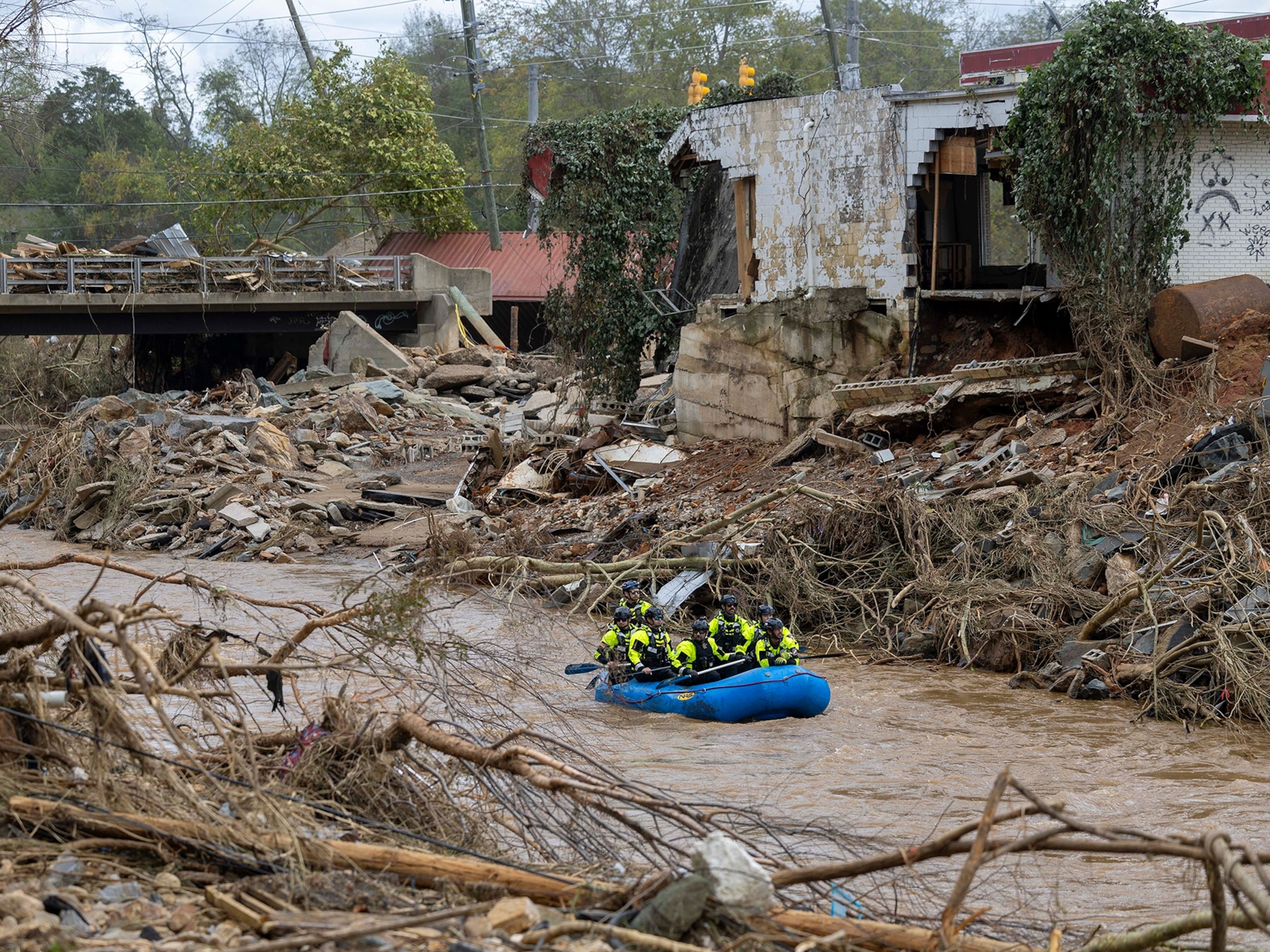
Will the supermoon make Hurricane Idalia worse? We asked the experts.
The historic hurricane making landfall in Florida happened to come while the moon is closest to Earth, affecting the tides.
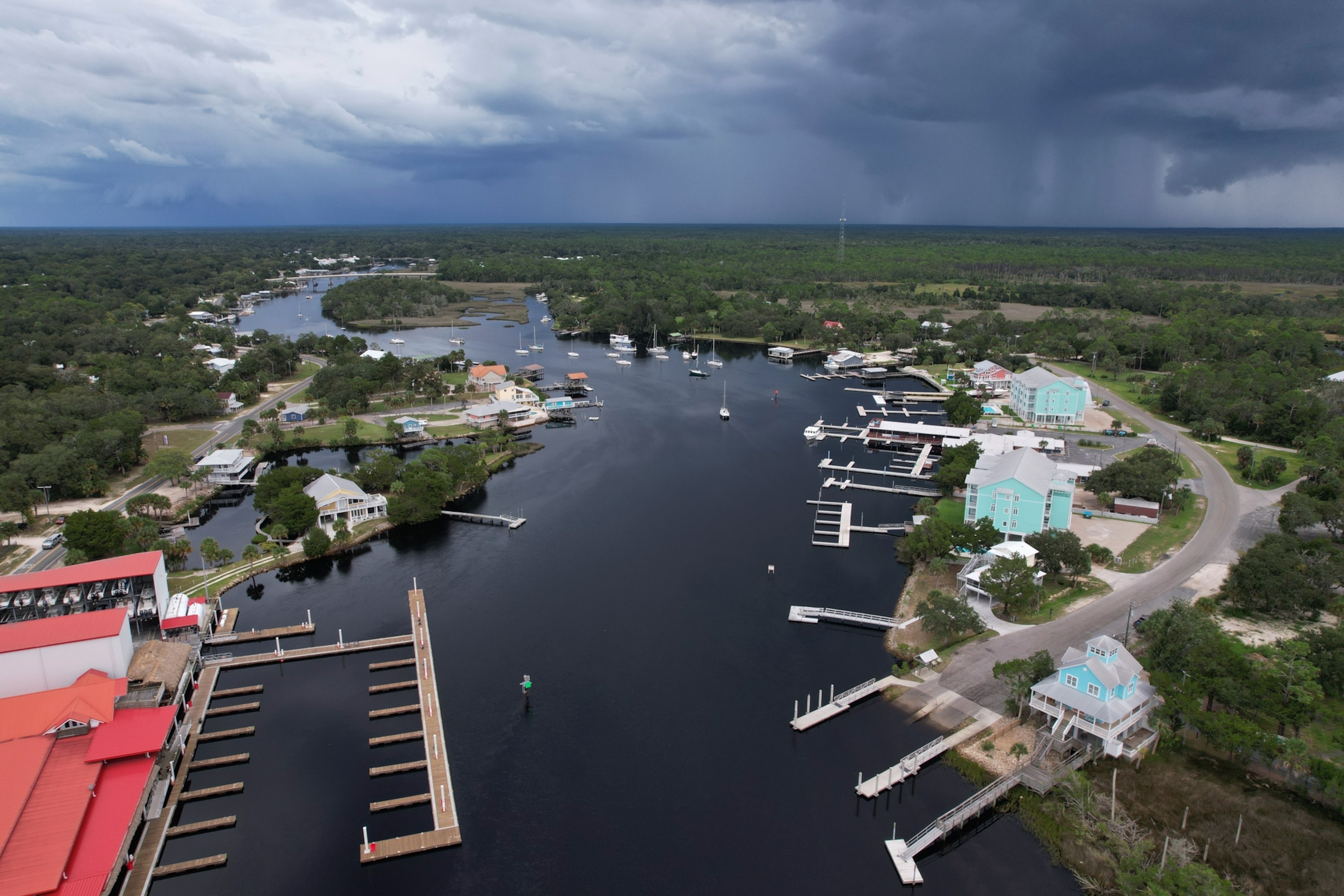
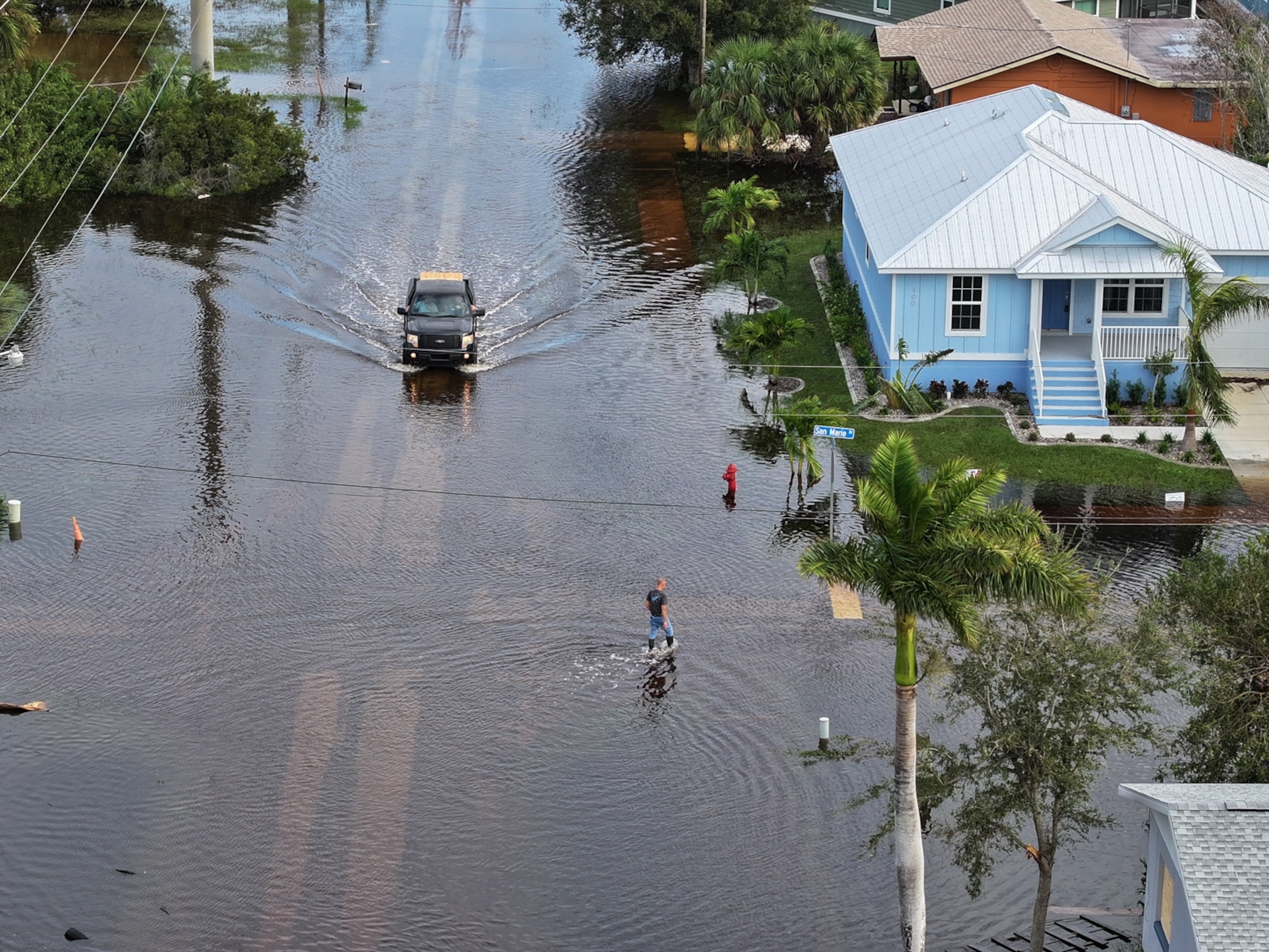
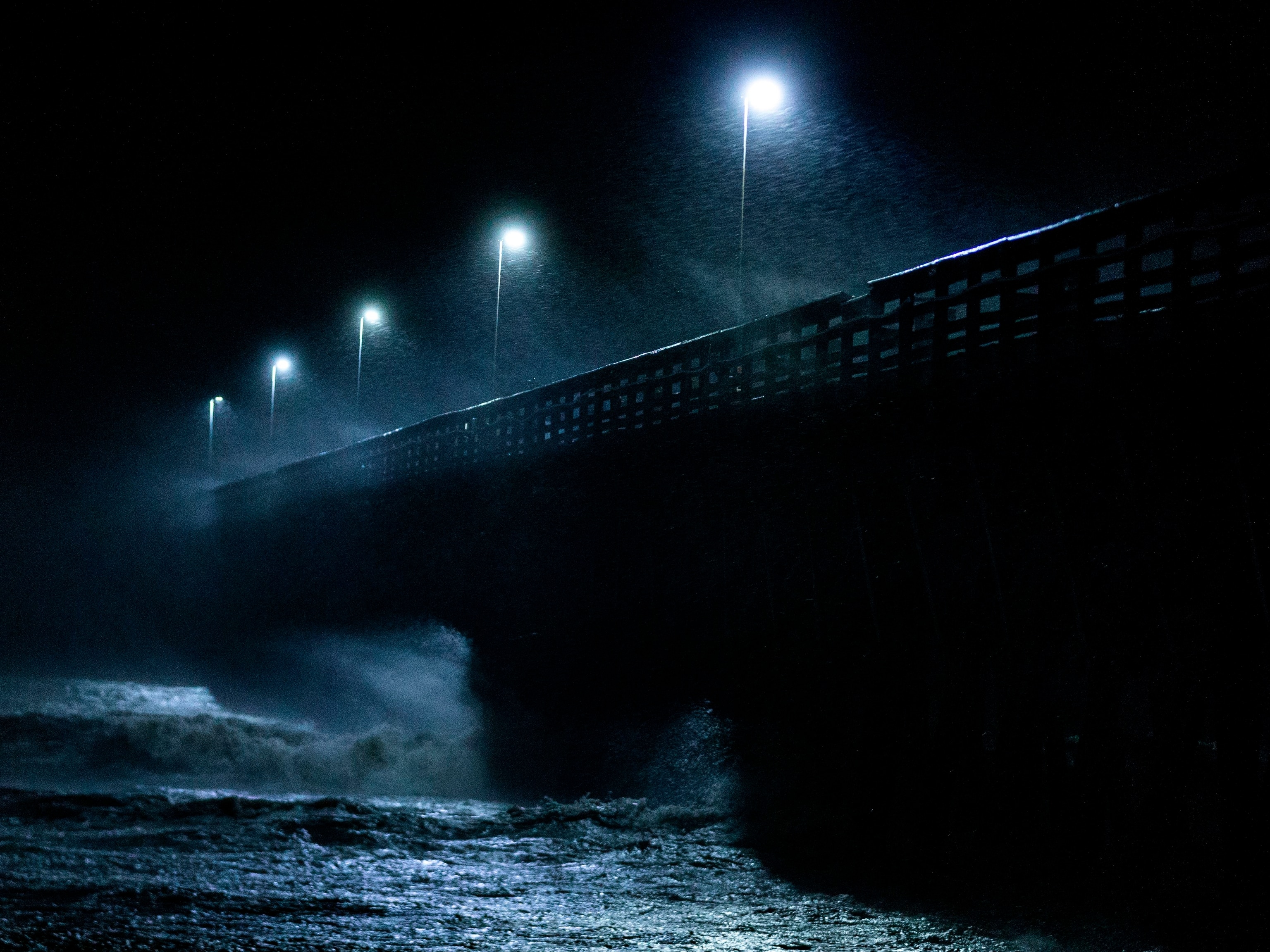
In any hurricane, rising water called storm surge is the most dangerous and damaging element of the storm. Normal tides can add to that amount of water—and today, tides will be near their strongest all year. That’s because tonight’s full moon is also a supermoon, meaning it’s at its closest point to Earth.
“The full moon can enhance the tides and so certainly … at the time of high tide during the storm, you're going to see greater coastal flooding,” says Noah Petro, a research scientist at NASA Goddard Space Flight Center.
Though the supermoon will be the closest full moon of the year, and therefore its gravity will have a greater effect, experts say the full moon phase matters more than it being a supermoon. “It’s not a great added combination that it's closer than normal,” Petro says. ”It's going to be on the scales of centimeters, at most, of difference in tide—which in this case is barely even noticeable.”
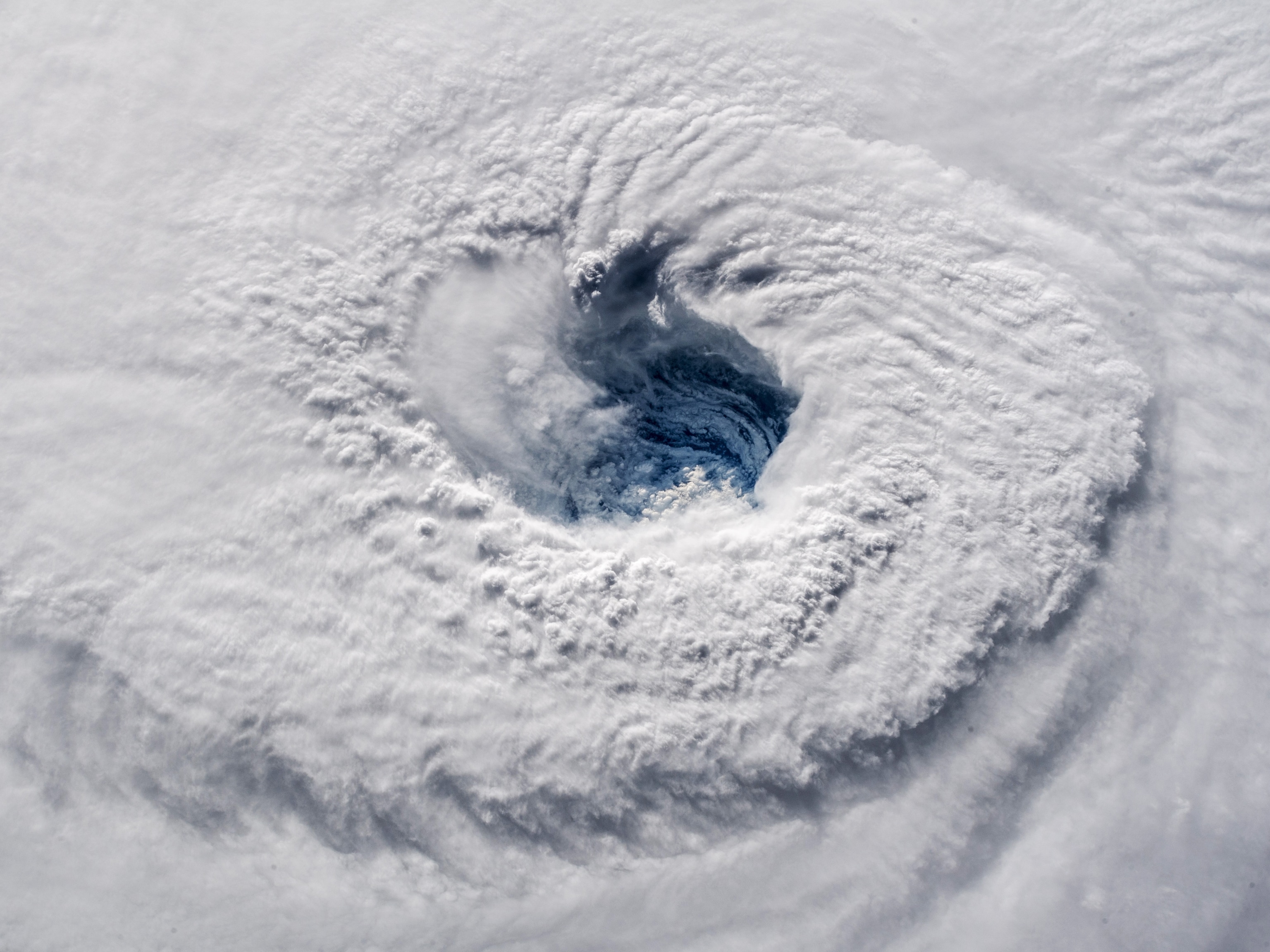
(What are hurricanes, typhoons, and cyclones?)
The full moon, even a supermoon, will likely have only a modest effect on the huge storm surges already expected. ABC News meteorologist Kenton Gewecke says the Big Bend region of Florida could see the worst at 10 to 15 feet of storm surge, not accounting for tides. In Florida, the normal difference between high and low tide is around 3 to 5 feet.
“It makes a big difference whether the storm makes landfall at low tide or at high tide, that can make a difference of up to five feet,” says Thomas Wahl, associate professor of coastal engineering at University of Central Florida. “But then the storm surge of 10, 15 feet is the part that really makes it dangerous. Just the high tide itself is not going to pose any major threat to people.”
The hurricane made landfall this morning at a Category 3, but around the time of a low tide. The highest tide caused by the supermoon will be tomorrow, Thursday afternoon, likely missing the bulk of storm surging, which will largely happen today. The high tide will hit Florida’s Big Bend just before 2 p.m. and will likely occur as storm surge waters are beginning to retreat back into the ocean.
Florida’s wide, shallow continental shelf plays a major role in the impact of storm surge. If there is a steep cut off, like in parts of the U.S. West Coast, then that water has to work a lot harder to get higher, Gewecke explains. A shallower, more gradual sea floor will allow storm surge to move in and out easily given the right circumstances such as a major hurricane.
We also had a supermoon on July 2 and August 1, and will have one more September 28. Next year, there will also be four supermoons from August to November.
Regardless of the position of the moon, Hurricane Idalia is expected to be historic. “Our records for landfalling storms in the United States go back to the 1850s. Since then, in this area of the Big Bend, there has never been a category three or stronger hurricane,” Gewecke says. “It's really a good chance that there's … going to be areas that have never seen storm surge like what they're going to experience.”

