.jpg)
Make a splash on your next Texas adventure
Take a deeper dive into the nature, history, and culture of Texas by discovering these freshwater destinations.
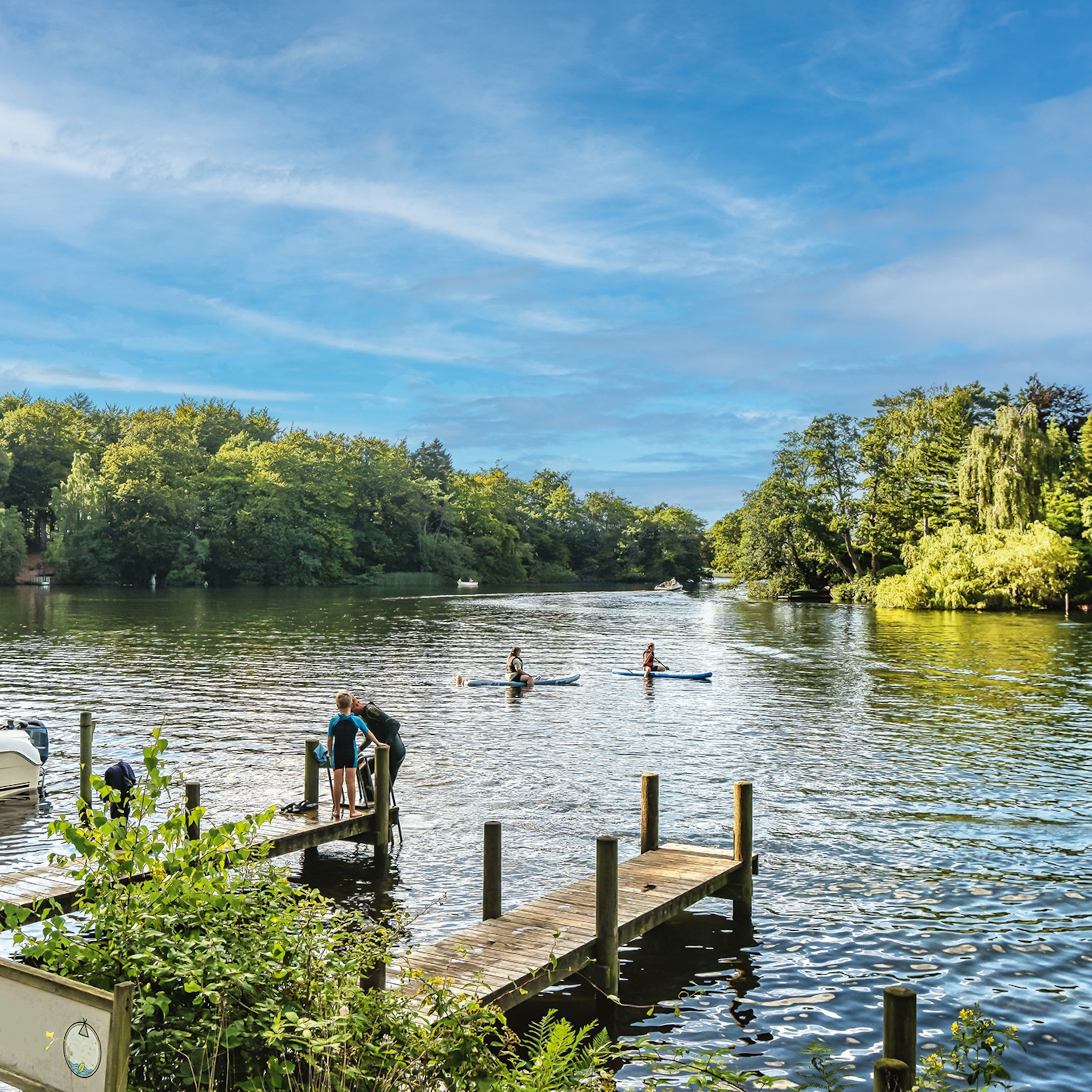
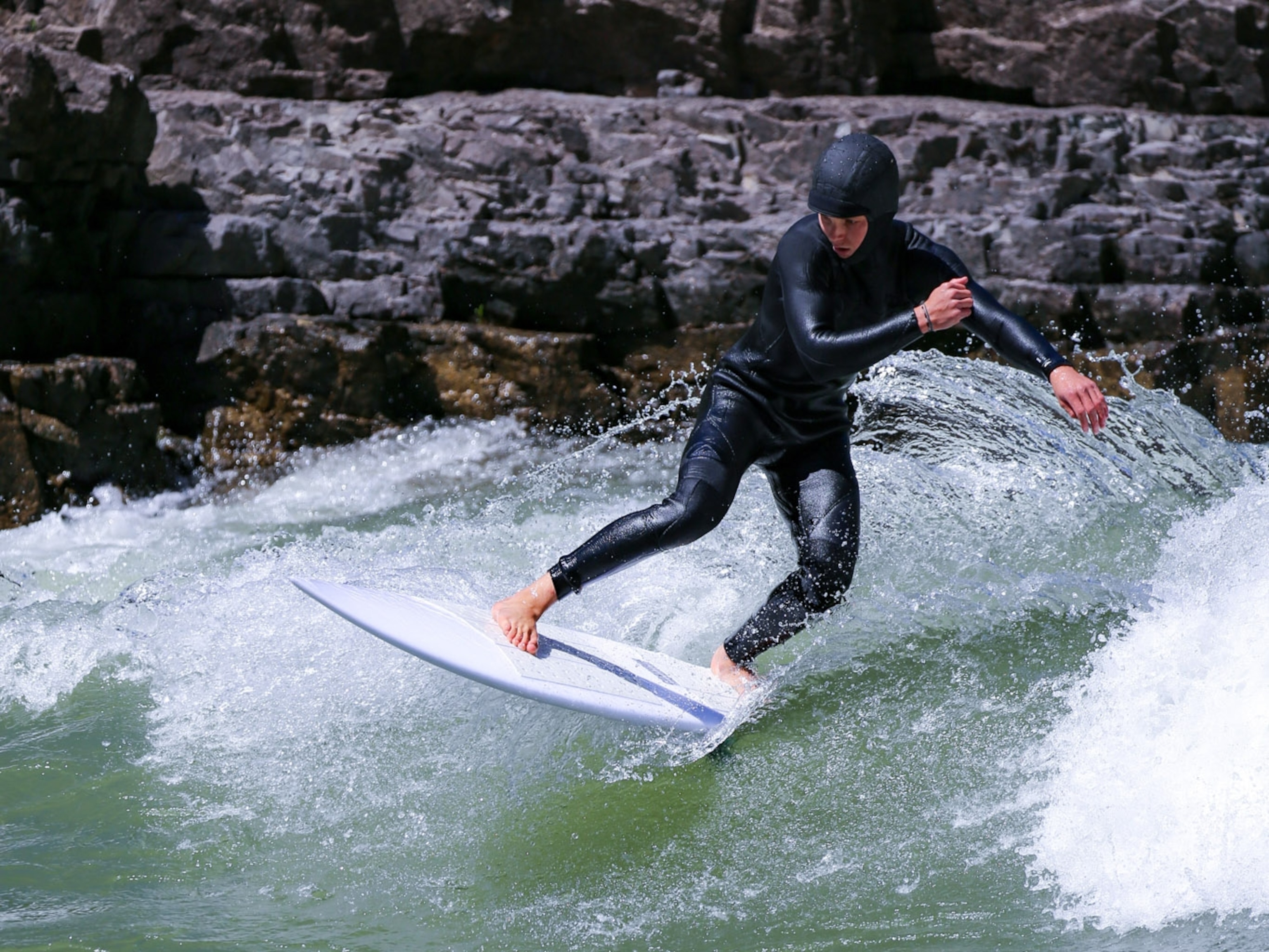
From the Red in the northeast to the Rio Grande in the southwest, rivers have shaped and sustained life in Texas for thousands of years. The more than 190,000 miles of creeks and rivers crisscrossing the state also fuel only-in-Texas recreational opportunities, such as paddling between bald cypress trees at Caddo Lake State Park, tubing the Guadalupe River’s famous Horseshoe Loop, and floating through Armand Bayou Nature Center, one of the largest urban wilderness preserves in the U.S.
Today, conservation-driven initiatives, such as Texas Paddling Trails and Conserving Texas Rivers, are helping restore, protect, and expand access to freshwater ecosystems, making it easier than ever before to plunge into authentic Texas life on or near the water. Here’s a sampling of the amazingly diverse freshwater experiences you can discover on your next Texas adventure.
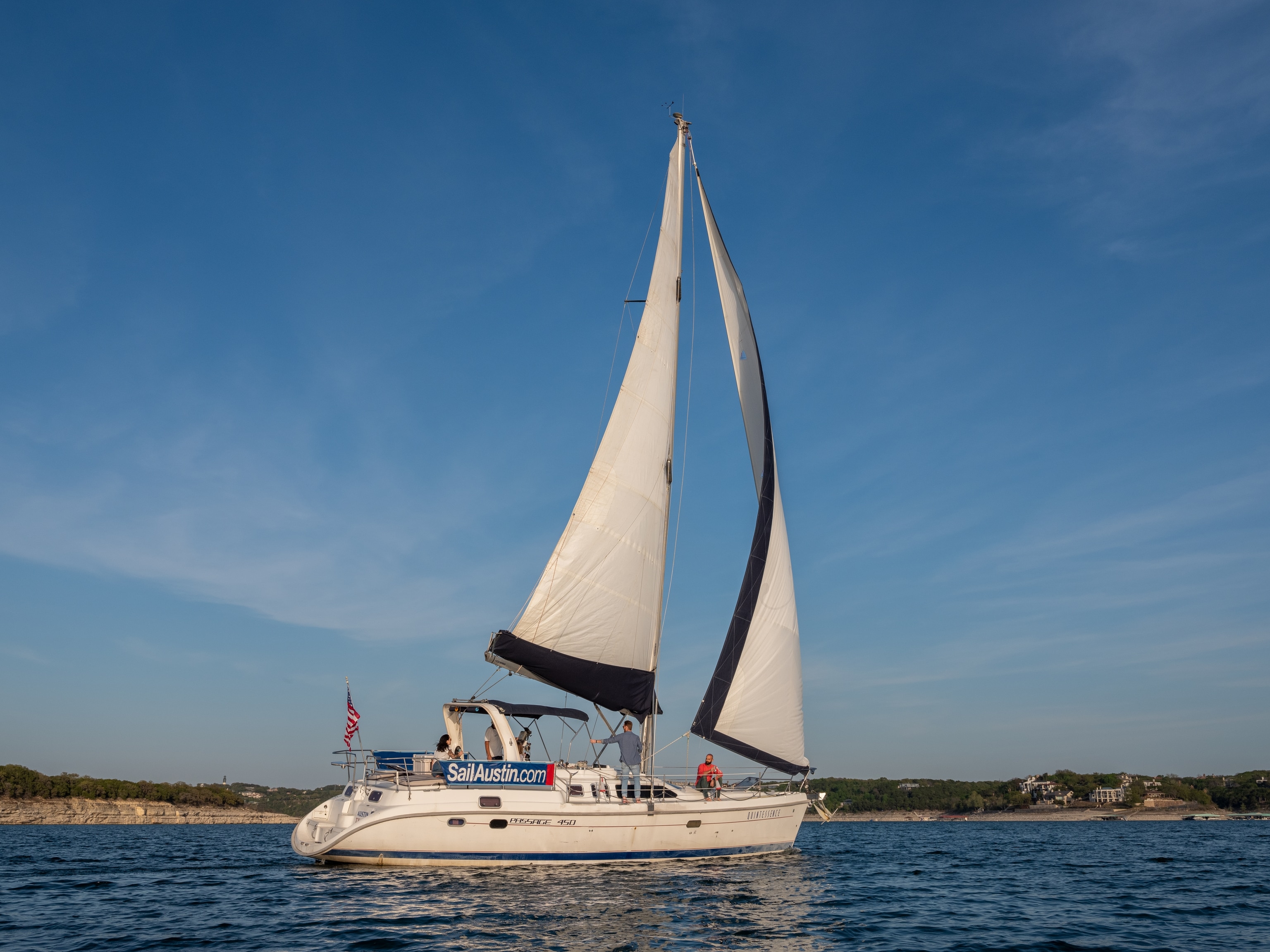

Lake Travis
When summer temperatures soar in the state capital, Austin, the place to be is Lake Travis, a serpentine reservoir on the Colorado River. Located northwest of the city in Travis and Burnet Counties, the manmade lake—one of six such clear-water reservoirs in the Central Texas Hill Country—has 271 miles of shoreline and nearly 19,000 acres of water surface. It’s also stocked with native fish, including largemouth bass and catfish.
There are 15 public parks on the massive reservoir, as well as private marinas and resorts. Choose an access point based on what you want to do. Rent stand-up paddleboards, kayaks, jet skis, and fishing or cruising boats at Lakeway Marina, a Lake Travis staple since the 1960s. For windsurfing, sailing, or swimming, check out Bob Wentz Park at aptly named Windy Point. Learn to captain your own vessel on a private sailing lesson with Captain Tim Best at Sail Austin Charters. Or, sit back and savor a legendary Lake Travis sunset on a shared sunset sail.
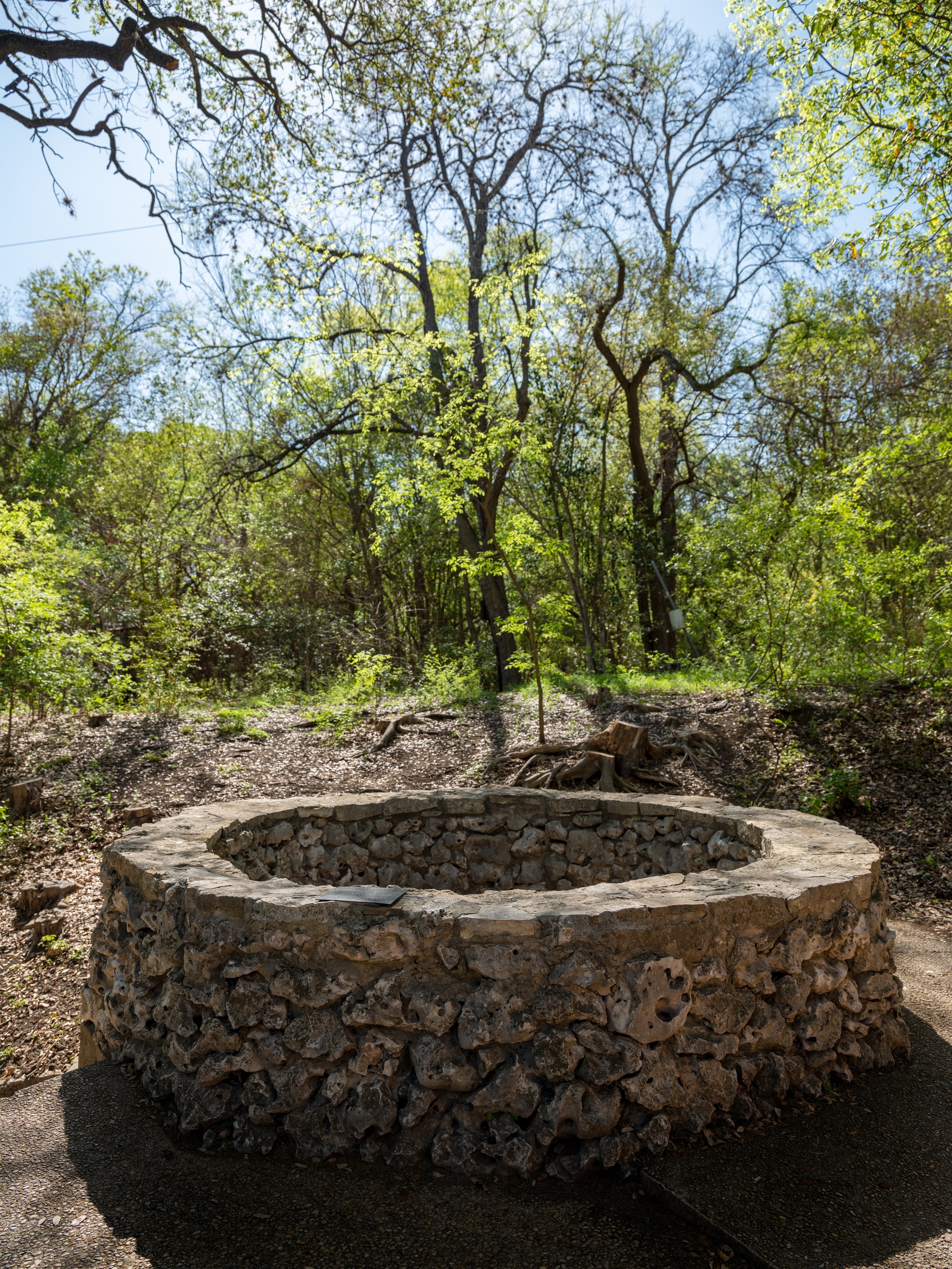
The Blue Hole
Of the numerous natural springs that bubble up to form the San Antonio River, none is more famous than “the Blue Hole.” Traditionally thought to be the headwaters of the river, the Blue Hole is considered a sacred place of healing and inspiration to descendants of the Coahuiltecans, the collective name given to the indigenous peoples who lived in the San Antonio Missions. The Coahuiltecan word for the springs, Yanaguana (up-flowing waters of the spirit), describes the geyser-like Blue Hole the Spanish encountered in 1718 when San Antonio was founded as San Antonio de Valero Mission, or The Alamo.
To visit the Blue Hole and learn about its significance to Native Americans, walk the trails at Headwaters at Incarnate Word, a 53-acre woodland nature sanctuary located north of downtown.
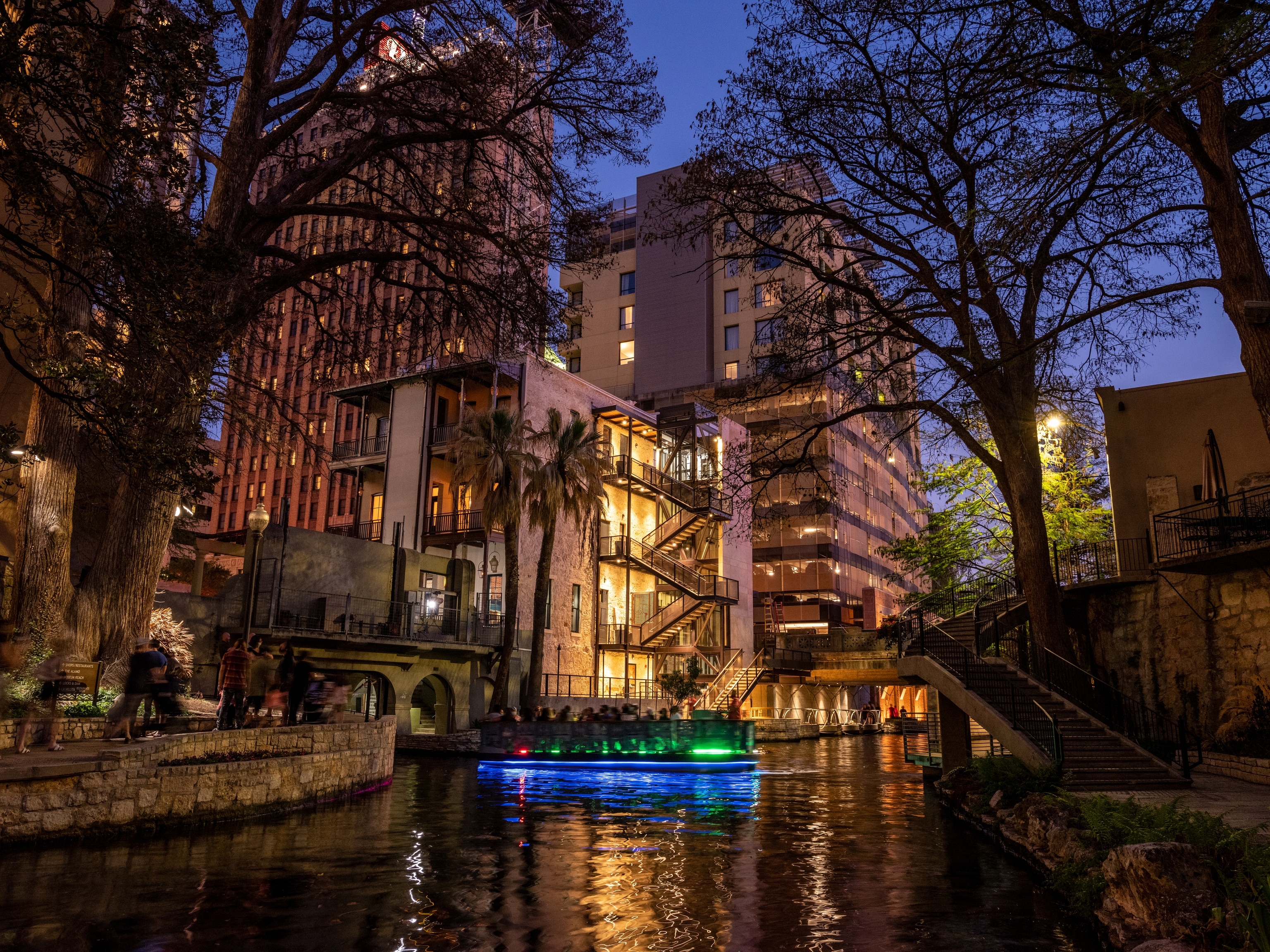
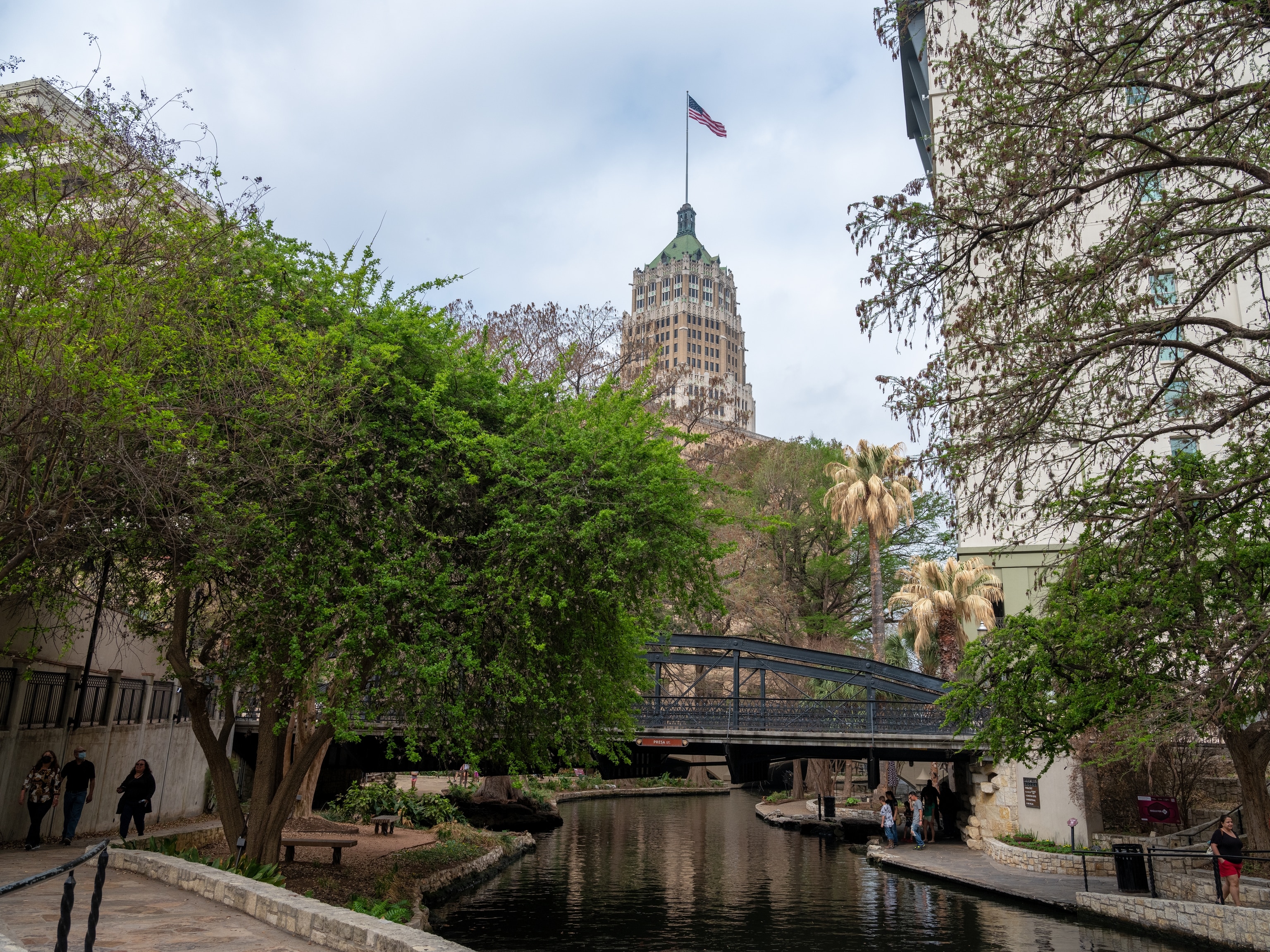
San Antonio River Walk
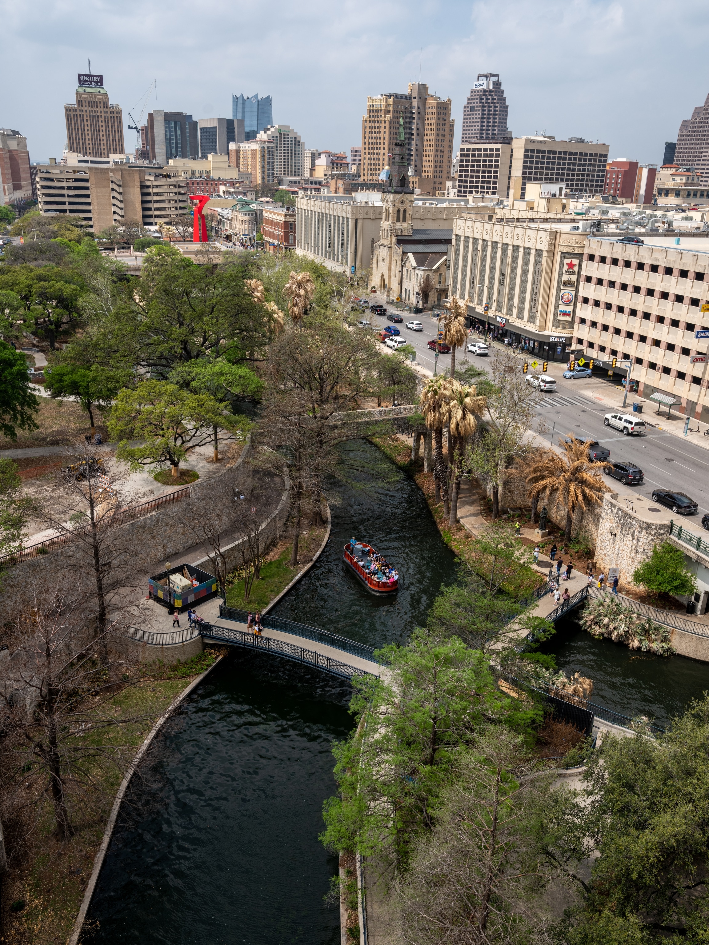
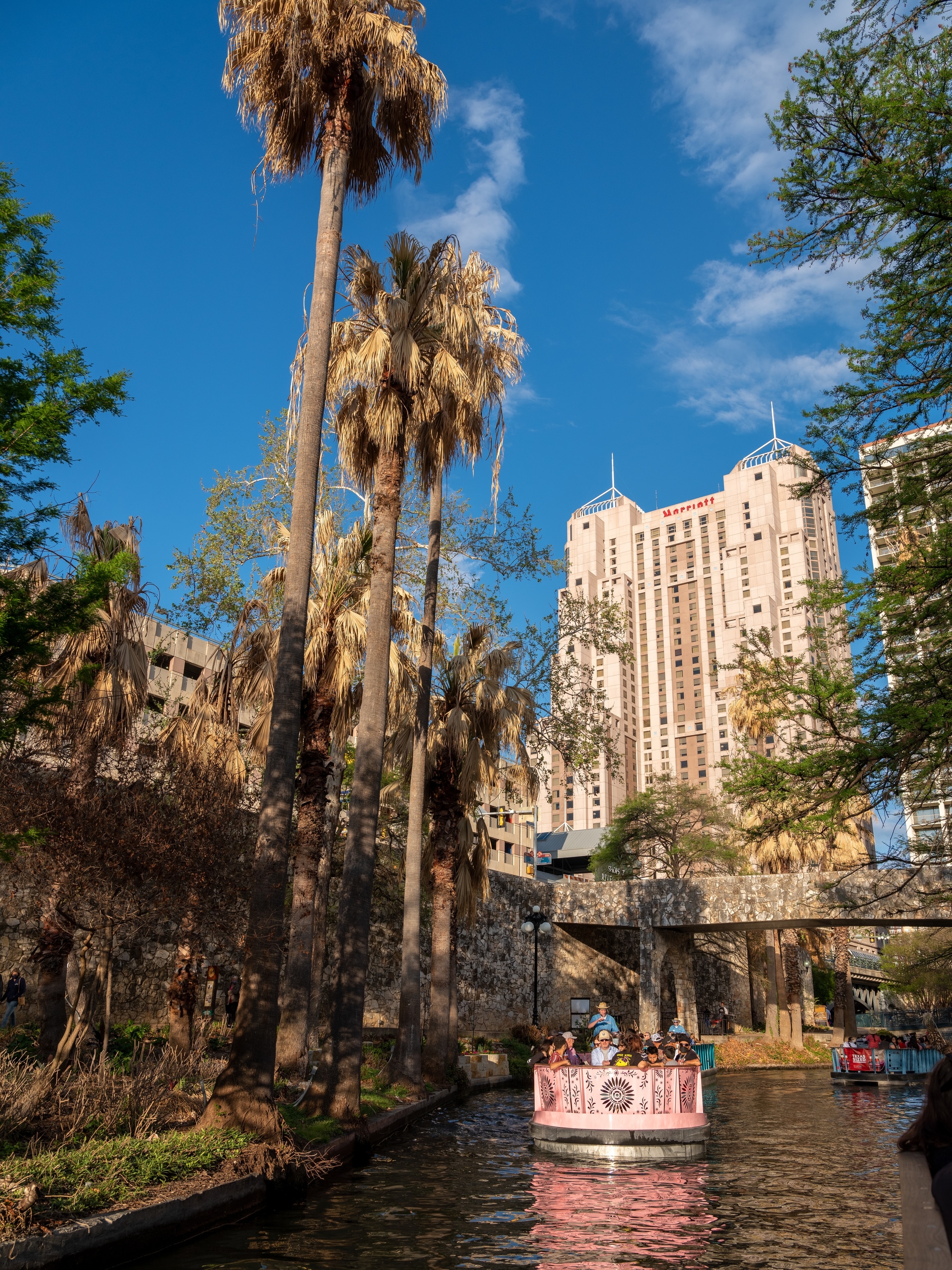
The most famous stretch of river in Texas runs right through the state’s second largest city, San Antonio. Conceived in 1929 as a scenic walkway and flood control measure, today the 15-mile-long San Antonio River Walk is part linear park, part urban waterway, and part dining and retail hub spread across three sections: Downtown, Museum Reach, and Mission Reach.
Downtown, board a GO RIO San Antonio electric barge for a 35-minute, eco-friendly cruise. The turnaround point is the Lila Cockrell Theatre, where you’ll see the magnificent natural stone and tile mosaic, Confluence of Civilizations in the Americas. Created for the 1968 World’s Fair by Mexican architect and muralist Juan O’Gorman, the 130-foot wide, 30-foot-high masterpiece depicts a converging timeline of European and New World cultures.
South of downtown, rent a paddleboard to float part of Mission Reach, an eight-mile-long stretch of river bordered by revitalized riparian woodland supporting migratory and native birds, aquatic species, and monarch butterflies. Mission Reach connects four of the five Spanish colonial missions comprising San Antonio Missions, the only UNESCO World Heritage Site in Texas.
Milton Reimers Ranch Park
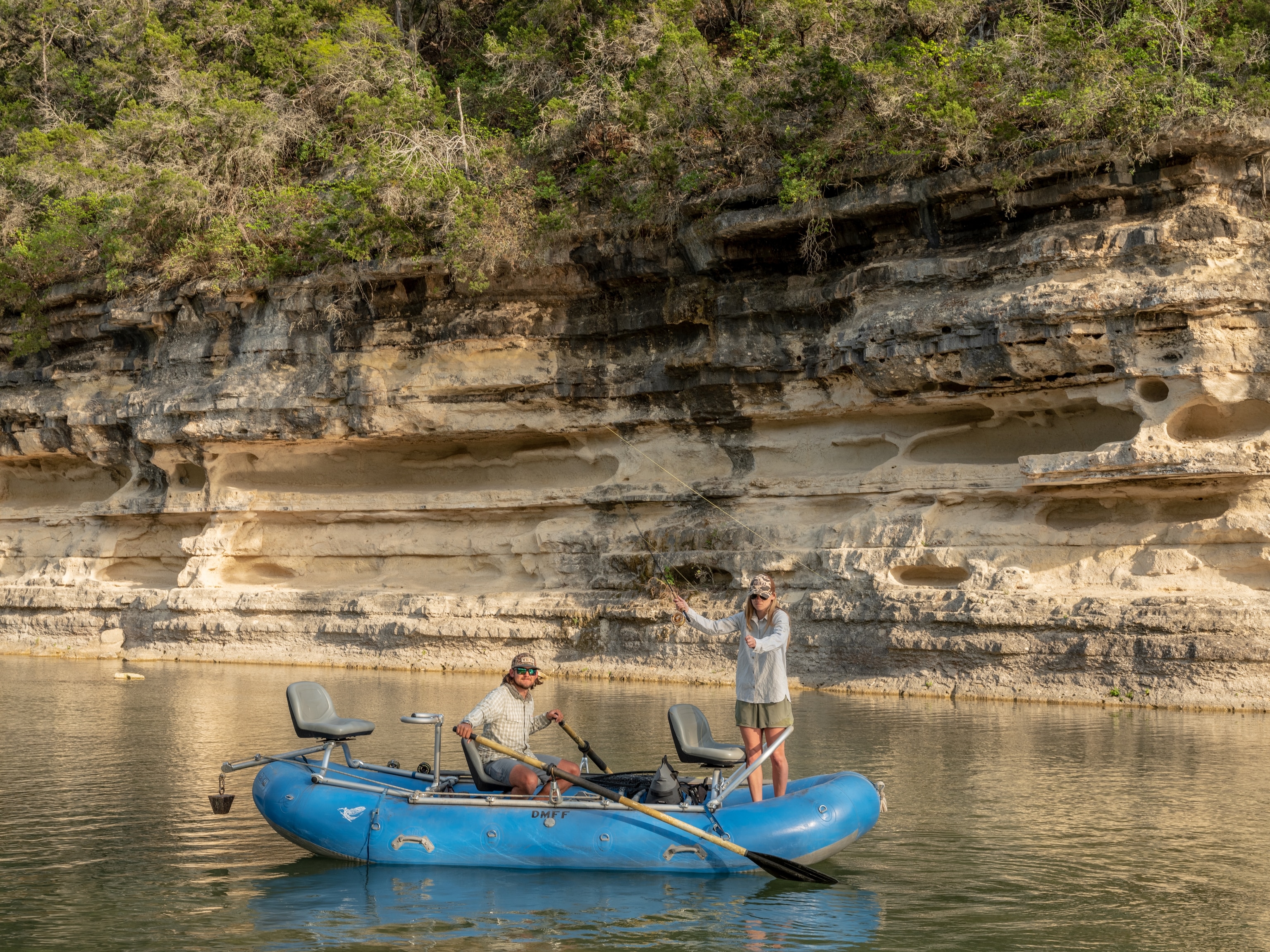
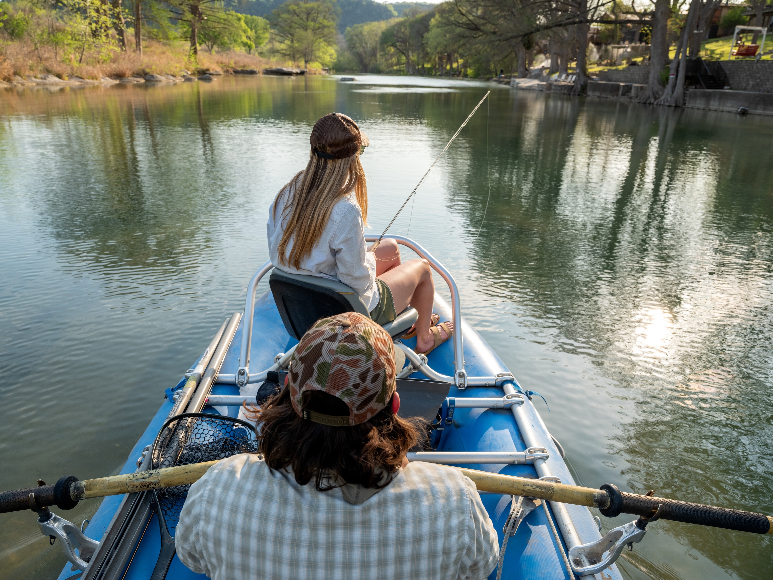
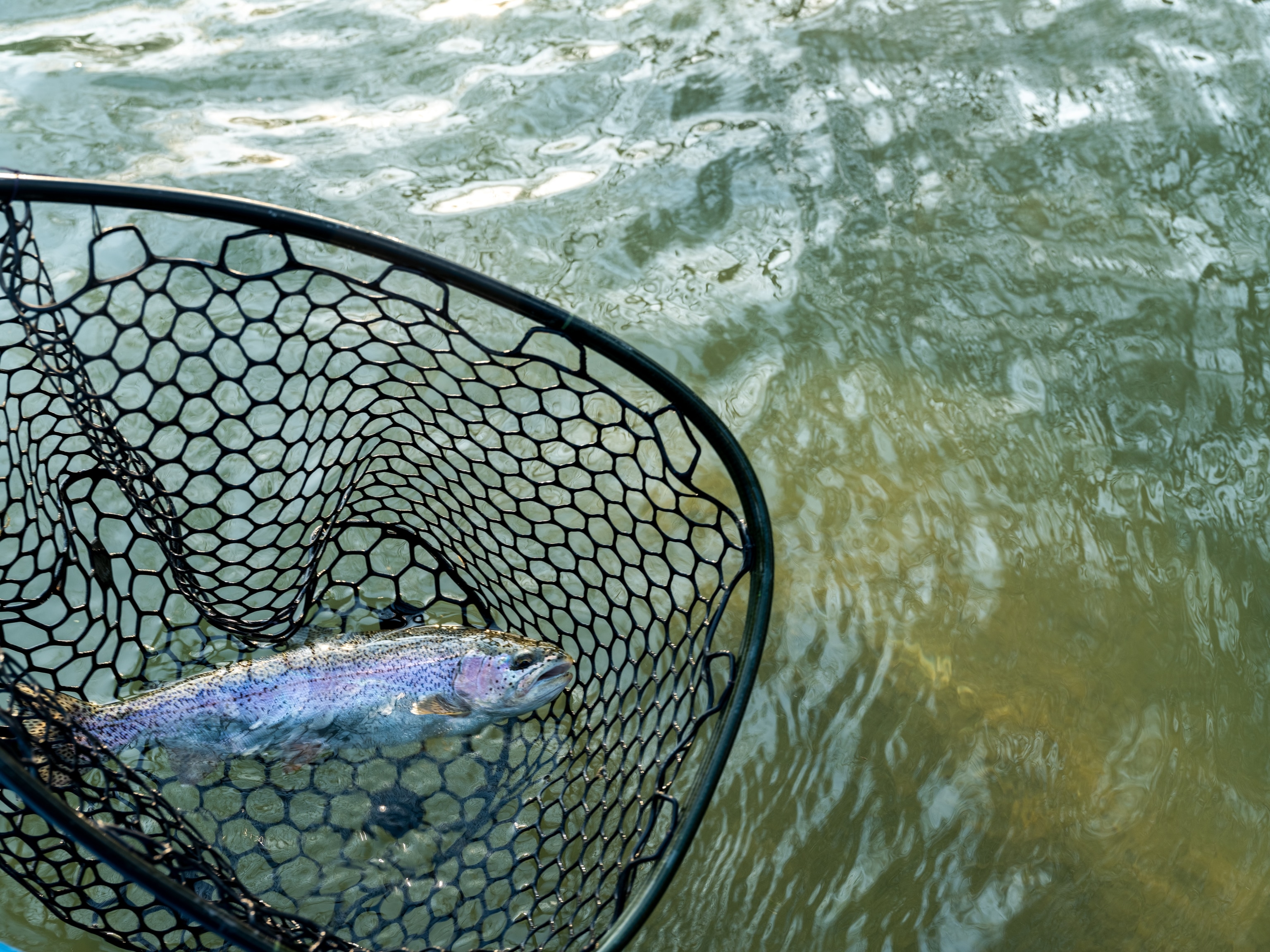
Thanks to the foresight of fourth-generation rancher and avid outdoorsman Milton Reimers, a prime slice of his family’s original ranchland is preserved as the largest public park in Travis County. Located about 30 miles west of Austin in Dripping Springs, 2,427-acre Reimers Ranch Park includes a nearly three-mile-long stretch of the Pedernales River. The pristine preserve is a top spot for wading, swimming, and fishing in the Central Texas Hill Country.
The park also provides access to a quintessentially Texan experience: catch-and-release fishing for endemic Guadalupe bass, the official state fish. Since 2010, the public-private Conserving Texas Rivers initiative has stocked more than a million of the fast-water game fish in the Pedernales, Blanco, Devils, and Llano Blanco River watersheds, part of a wider Hill Country effort to restore and support native plants and aquatic habitats.

Westcave Outdoor Discovery Center
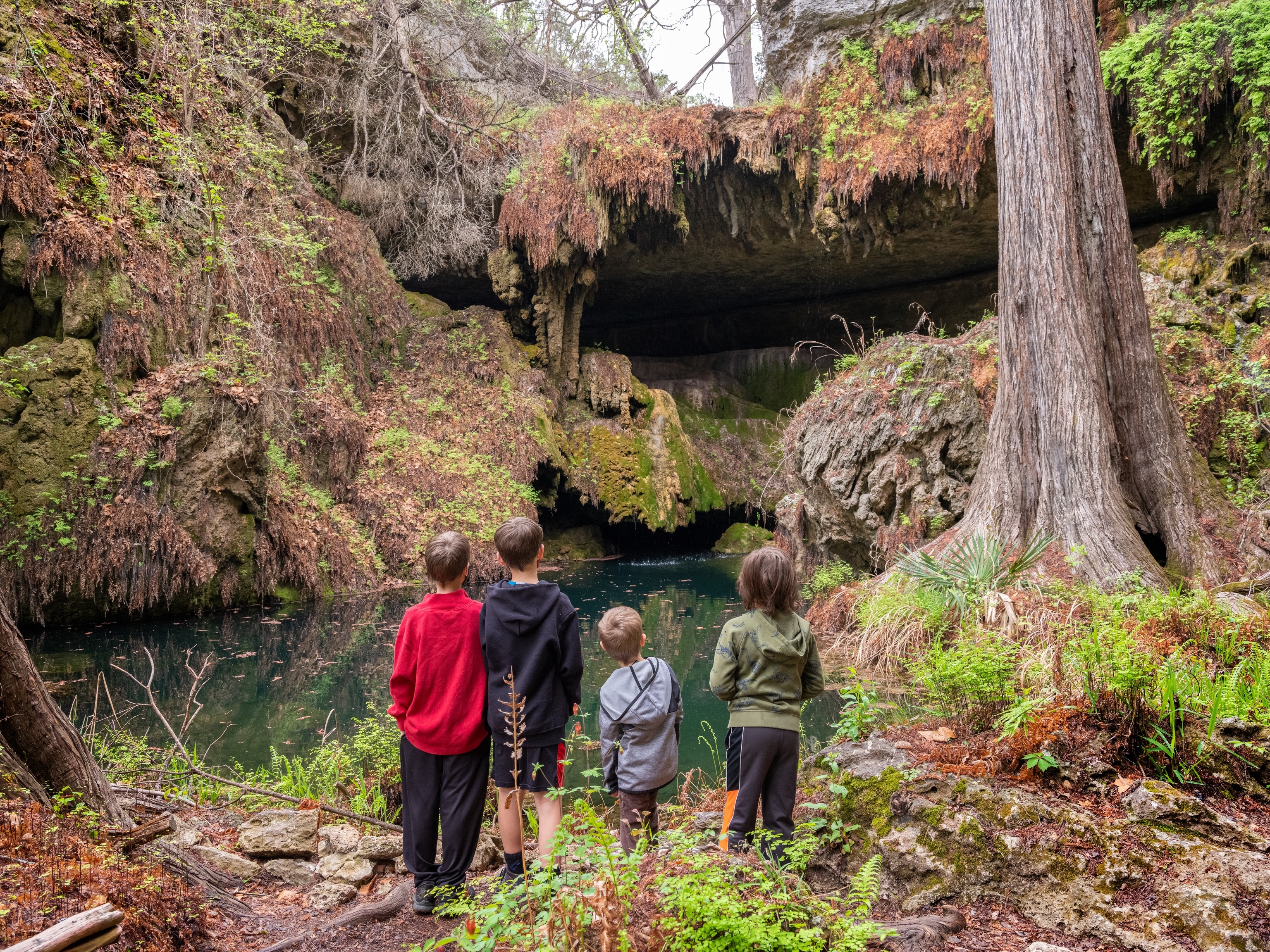
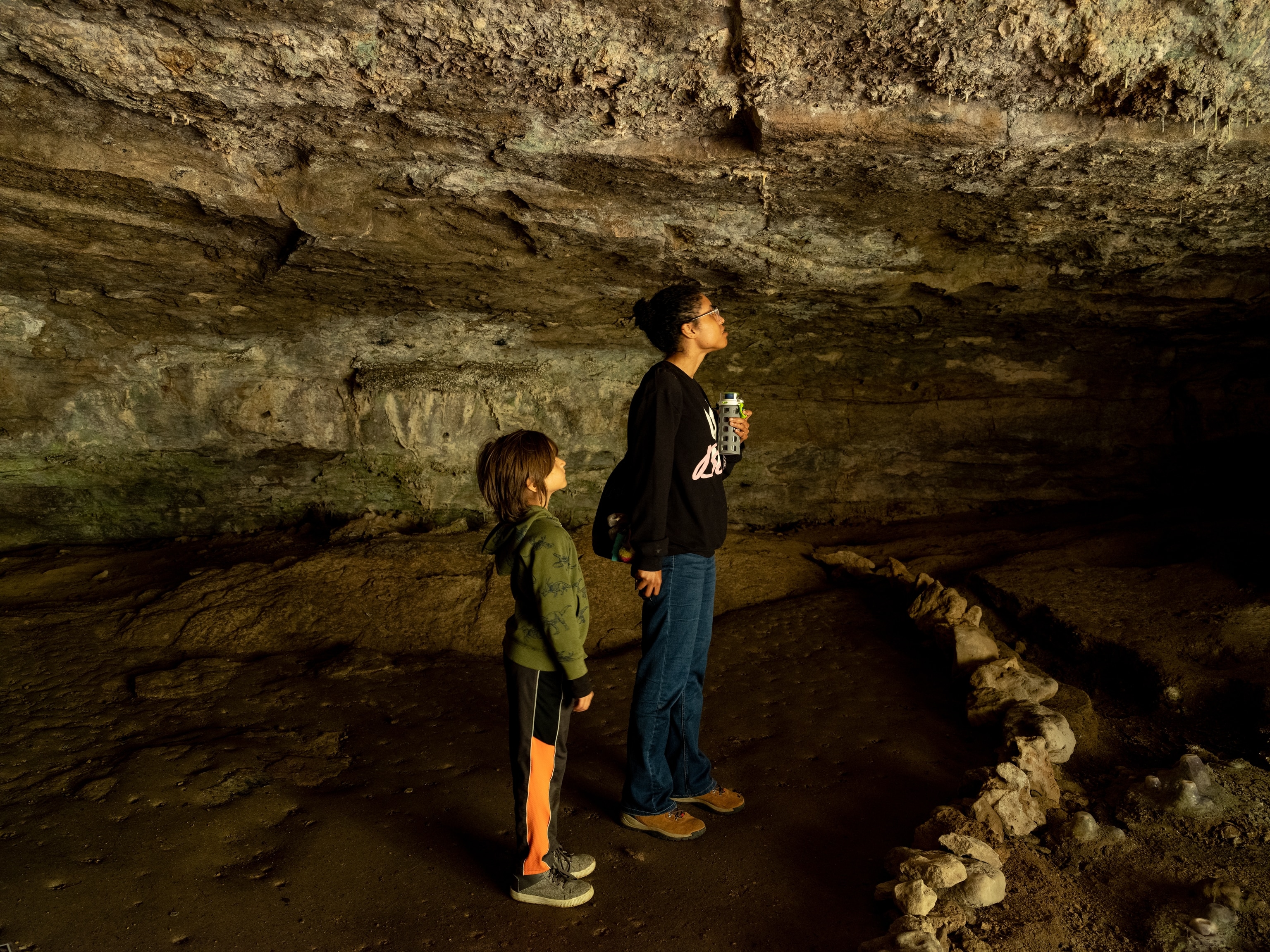
Just west of Reimers Ranch Park, the 76-acre Westcave Outdoor Discovery Center protects a natural-treasure trifecta: sheltered limestone canyon, 40-foot waterfall, emerald grotto pool. Although there’s no swimming or river access, reaching Westcave’s Fern Gully-like grotto is adventure enough.
The lush grotto, formed by a collapsed cave, sits at the head of the canyon. To help reduce human impact on the environment, access is limited to reservation-only, guided walks. Before descending the steep, 100-foot wooden staircase into the canyon, stop at the overlook to soak up views of the Pedernales River below. The river and spring-fed Heinz Branch Creek nurture Westcave’s delicate ecosystem―a lush, serene world where people, plants, aquatic creatures, and birds, including the endangered golden-cheeked warbler, can find refuge.

