Vikings in North America: A Saga’s New Chapter
Satellite images have led archaeologists to a new excavation site in Canada, yielding more clues to Norse settlements in North America.
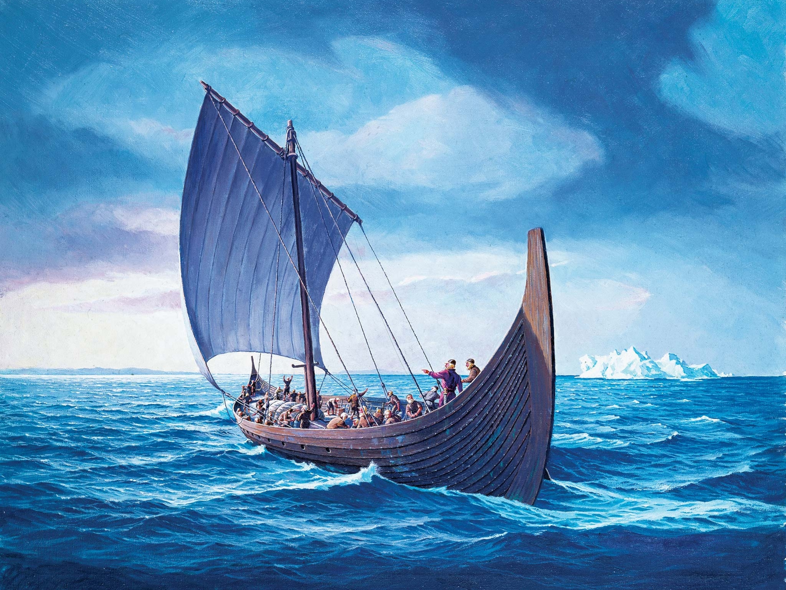
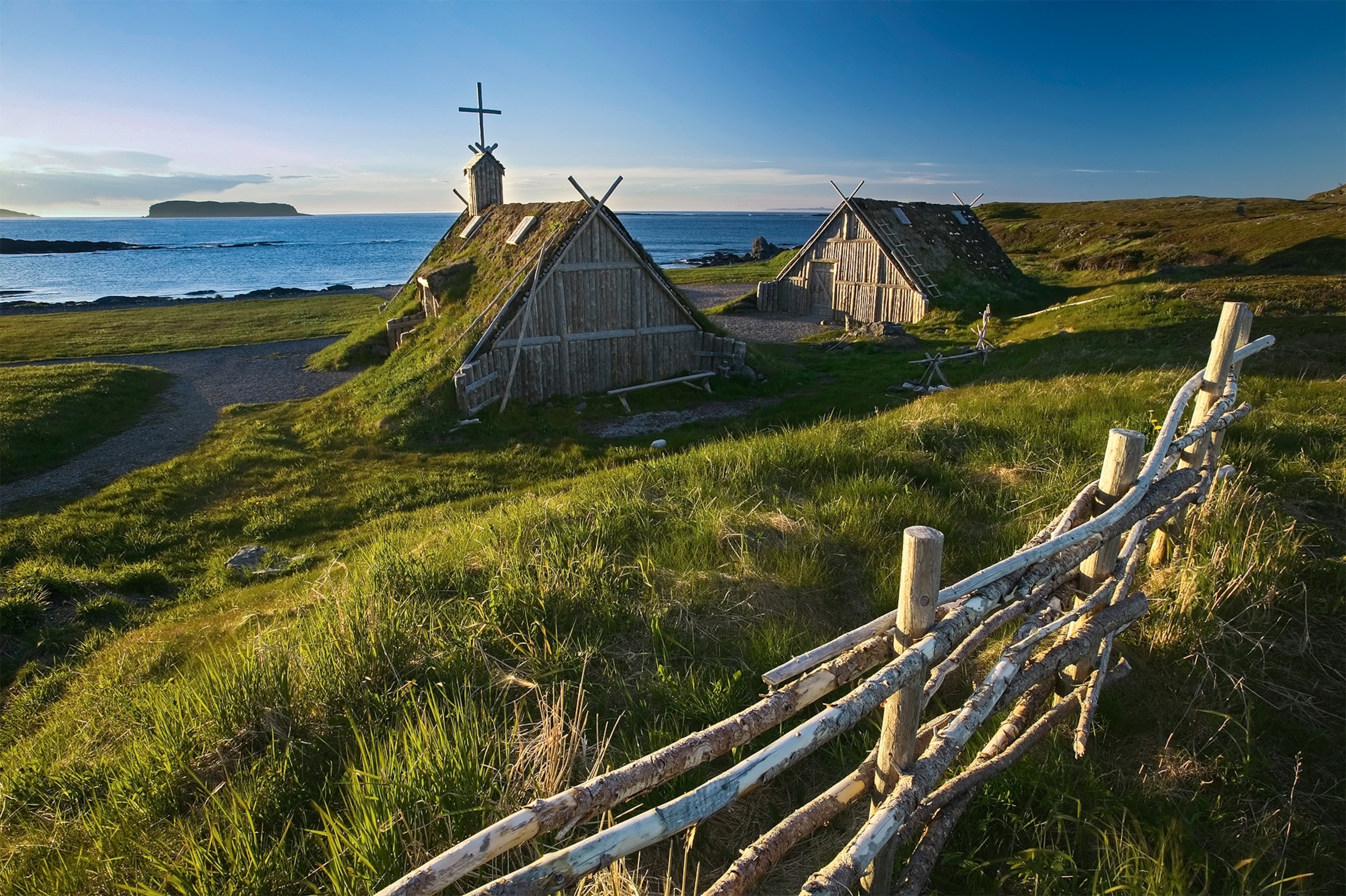
Icelandic sagas tell how the 10th-century Viking sailor Leif Eriksson stumbled on a new land far to the west, which he called Vinland the Good. The 1960 discovery of a Viking settlement at L’Anse aux Meadows in Newfoundland, Canada, caused a sensation, proving the sagas were not just fiction. Vikings had indeed reached the coast of America five centuries before Columbus.
Now those medieval sagas look ready for another endorsement, this time from space: National Geographic fellow Sarah Parcak, an expert in detecting buried structures from satellite images, has identified another likely Viking site on the southernmost tip of Newfoundland, and that could rewrite the story of the colonization of North America.
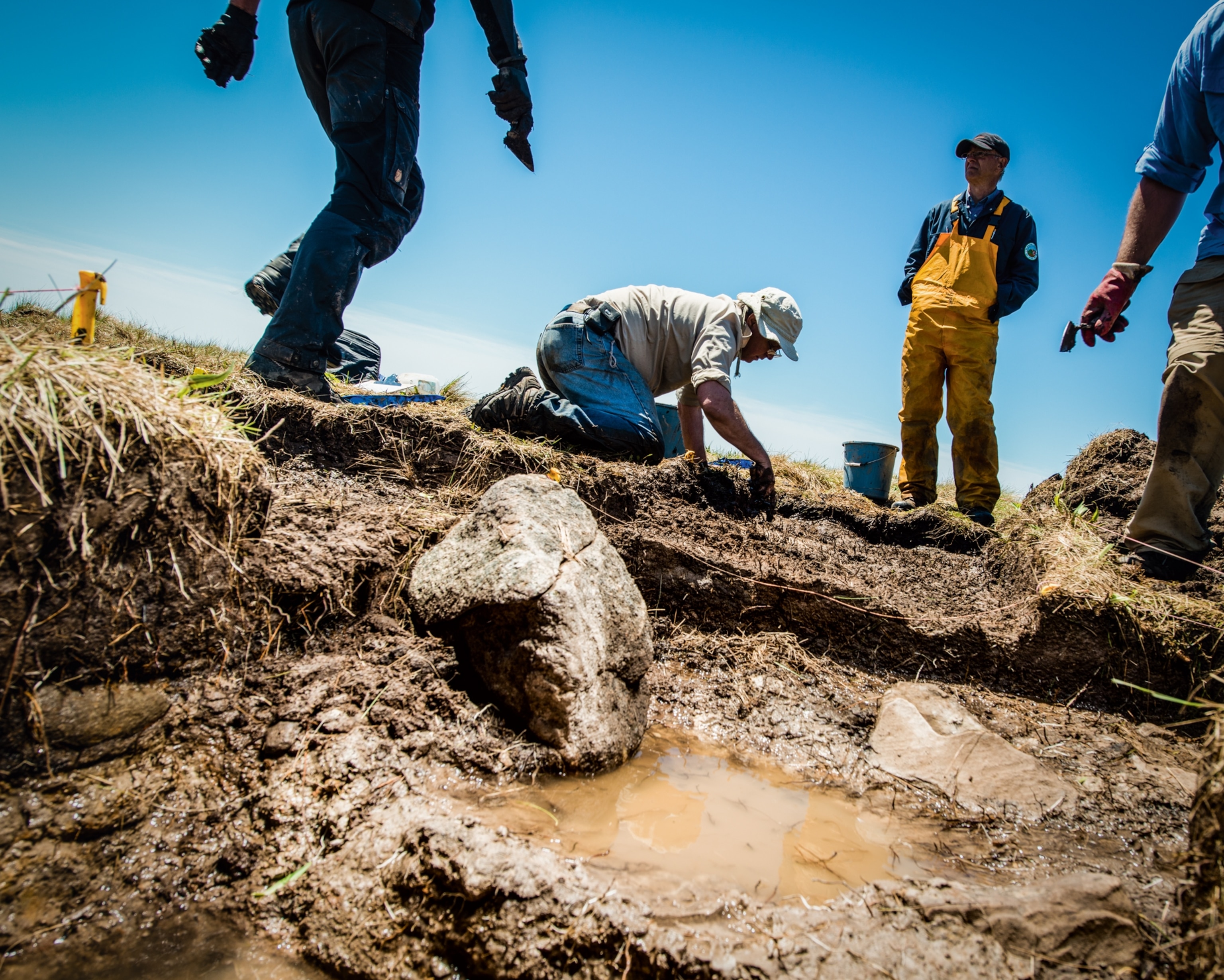
In summer 2015 Parcak and her team broke ground at Point Rosee near Channel-Port aux Basques, a windswept stretch of grassy coast overlooking the Cabot Strait. The dig unearthed remains of turf walls and an ironworking fireplace, yielding valuable information on the Vikings’ seafaring and metalworking techniques when on the move.
Parcak, a professor of anthropology at the University of Alabama, has successfully used satellite images to detect evidence of looters at archaeological sites in Egypt. This spring, her images also revealed the spectral outline of a large, buried structure at the site of Petra in Jordan.
On turning her attention to Newfoundland, Parcak used remote-sensing tools to comb the area for clues of buried objects. Soil that contains hidden structures retains moisture in a different way from undisturbed ground, and the resulting patterning on the vegetation alerted her to the possibility of buried objects at the Point Rosee site.
Nailing It
Parcak’s team is confident that the remains were most likely left by Norsemen, but she is not yet 100 percent convinced.
The island of Newfoundland bears traces of other cultures, such as those of Native Americans, or the Basque whalers from Spain who sheltered on the island from the early 1500s.
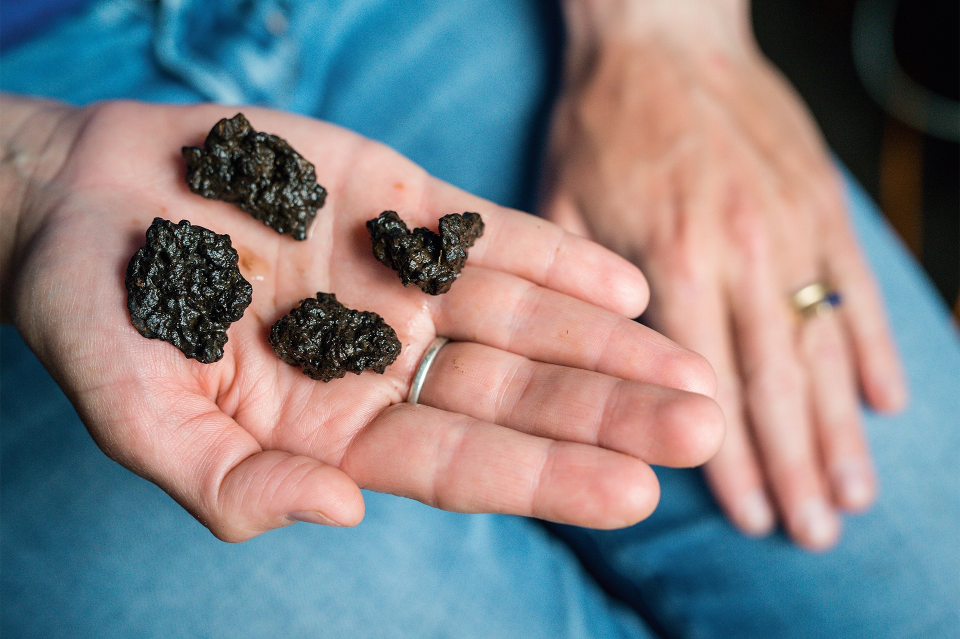
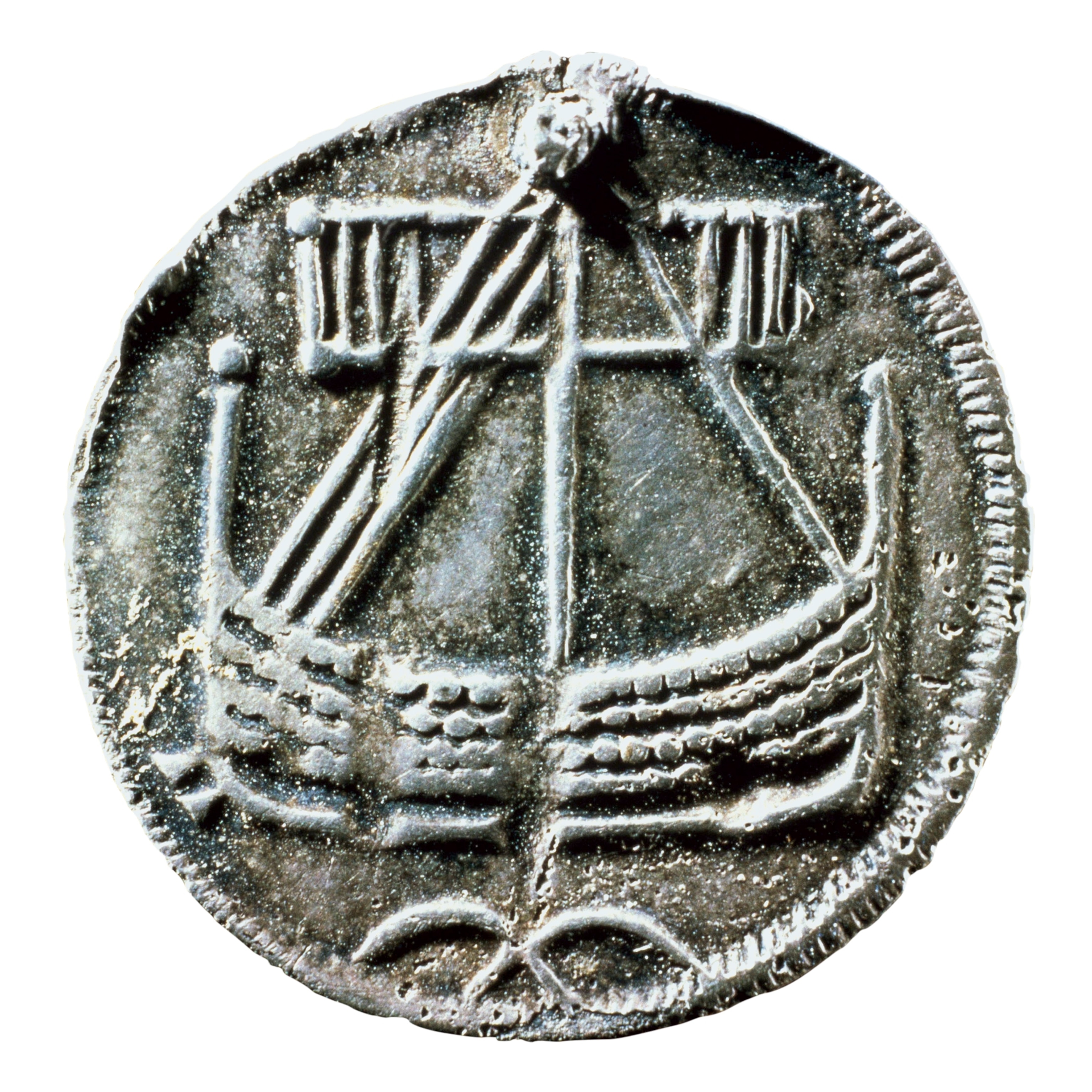
A point in the Vikings’ favor is that the two main features, the turf structure and the hearth, are common to Viking settlements. Another supporting piece of evidence is the nearly 28 pounds of slag found nearby which suggest the hearth was used for the roasting of iron ore, abundant in the bogs of Point Rosee. Once smelted, the iron produced would later be used for a key component of the Vikings’ maritime supremacy: the nails that held together their swiftly moving boats.
The excavations undertaken at Point Rosee are just the opening phase of an ongoing project that Parcak hopes will shed more light on the early history of European exploration of North America. If the 1960 discovery at L’Anse aux Meadows proves that the Vikings reached America, the find at Point Rosee will help historians build a picture as to when, and for how long, they explored this coast, and how far their wanderings took them in the New World.
Go West, Young Viking!
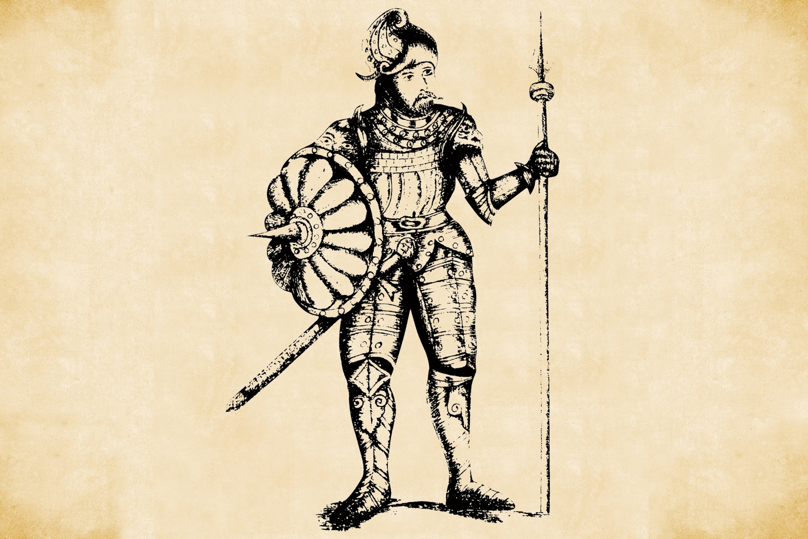
A saga, in a strict literary sense, is a story depicting the past deeds of the heroes of Norway and Iceland. Of particular fascination to historians are two written in the 13th century: the Saga of the Greenlanders and the Saga of Erik the Red. The titular hero of the second, named for his red beard or hair, founded the first enduring Viking colony on Greenland in the second half of the 10th century. The sagas recount how his son, Leif Eriksson, on hearing tales of lands to the west of Greenland, made landfall at places later identified by historians as Baffin Island and Labrador. One region particularly drew the interest of Leif’s crew, a place growing grapes—which some scholars interpret as berries. Leif named it Vinland, an area now identified as Newfoundland and the mainland coast along the Gulf of St. Lawrence.

