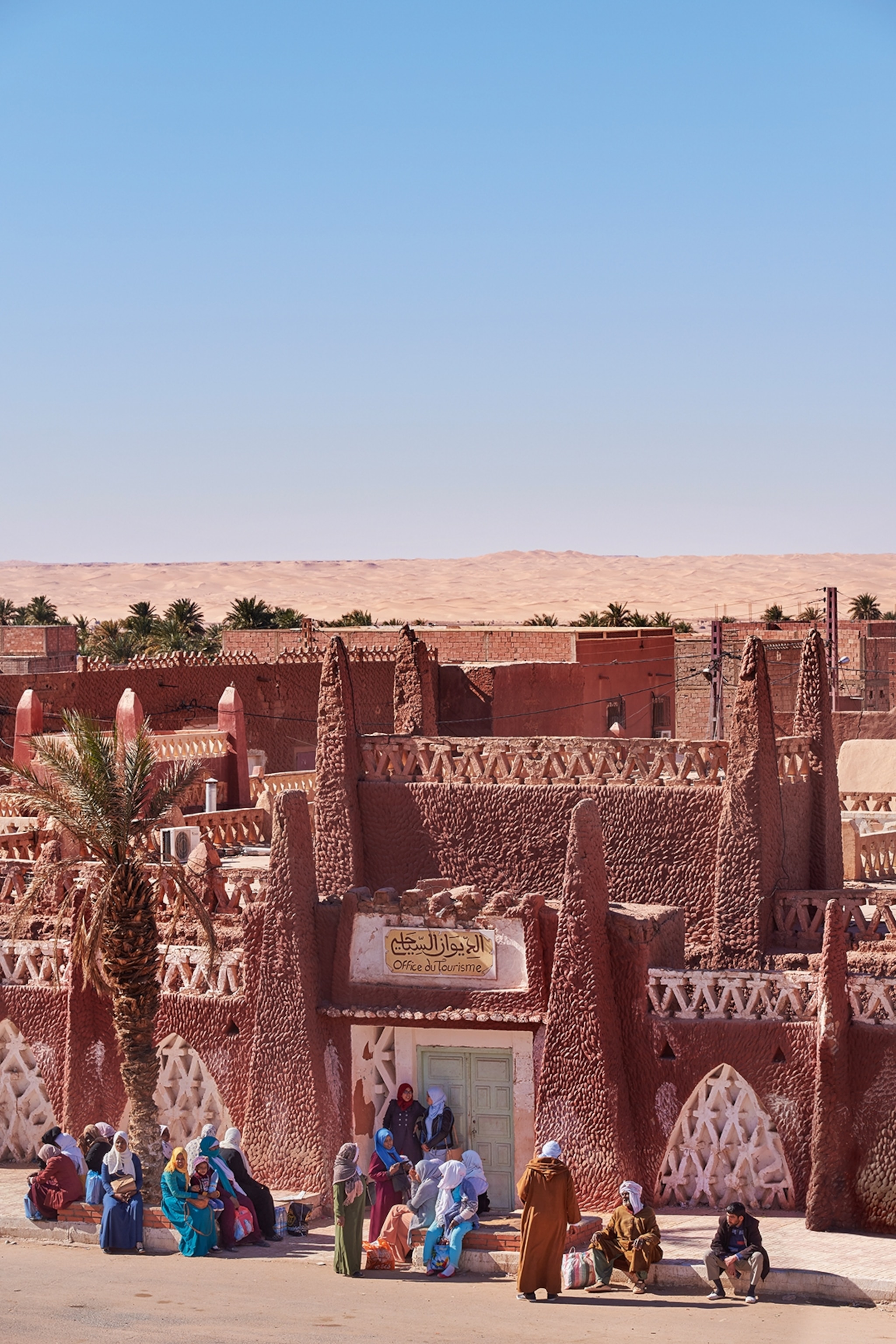
Life has flourished for centuries in Algeria’s Saharan oases — home to some of North Africa’s most striking architecture. 
Photograph by Simon Urwin

The desert communities of Algeria make a home in the Sahara sand seas

Covering around 800,000 square miles, Algeria’s share of the Sahara takes up over 80% of the country — the volcanic peaks, canyons and vast sand seas form a striking backdrop to oasis cities and unique North African cultures.

Story and photographs bySimon Urwin
May 31, 2024
This article was produced by National Geographic Traveller (UK).
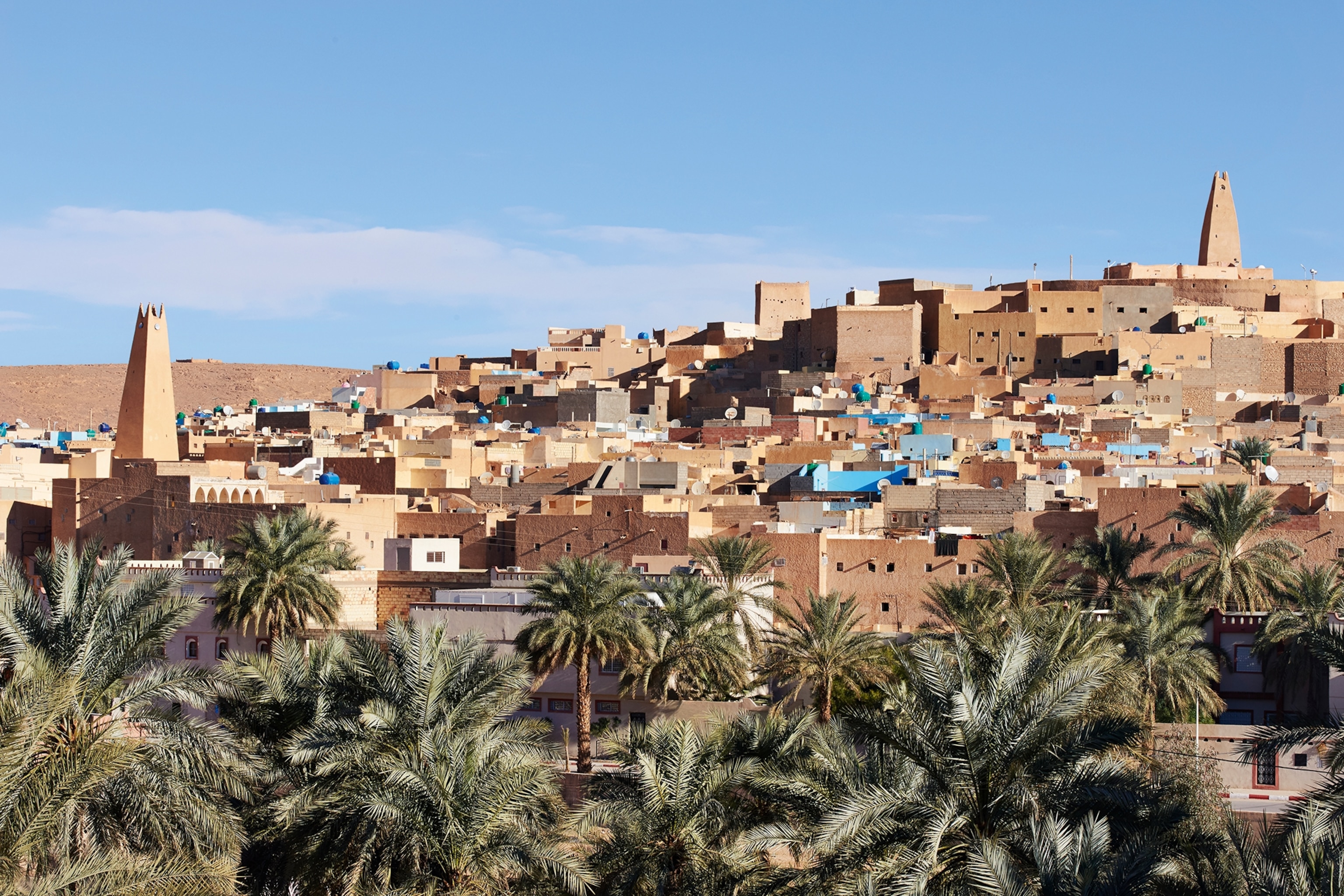
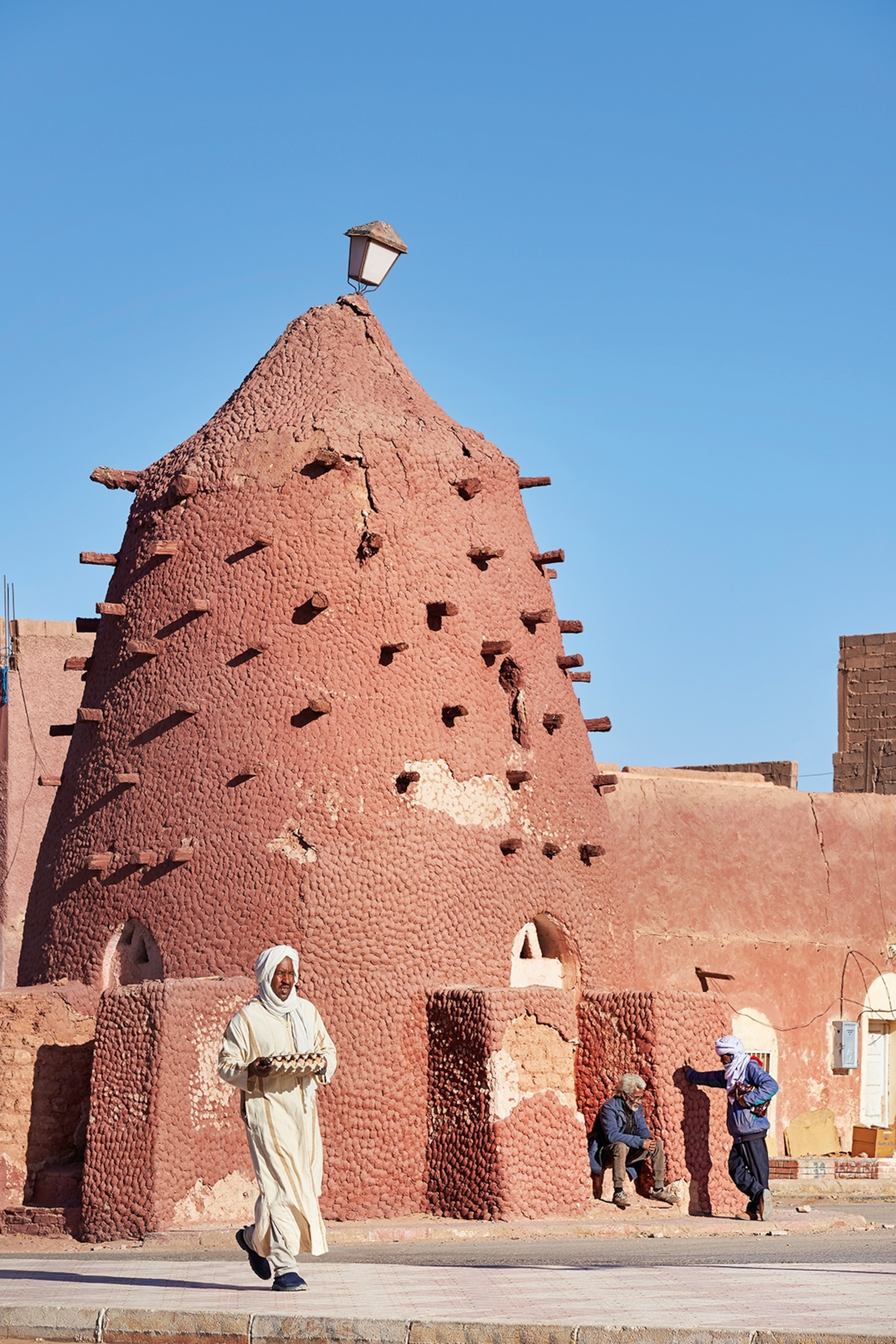
A far shot of Timimoun in Algeria. The builds are warm shades of red and copper, with occasional blue walls painted throughout.
One of the most rewarding to visit is Timimoun, located in the north on the shores of an immense sand sea of over 23,000sq miles. It’s nicknamed La Rouge (‘the red’) for its ochre-red mud-brick buildings — a colour some locals believe represents blood, and by extension their sense of belonging in the desert.
Photograph by Simon Urwin
A ksour in Algeria, a type of dome shaped building which tapers into a point, and is a rich, browny red colour.
Further north, in the M’Zab Valley, lies a chain of five ksour (fortified towns) with distinctive pastel-coloured dwellings. These citadels have been recognised by UNESCO for their ‘exceedingly original architecture’ and for conserving ‘practically the same way of life and the same building techniques since the 11th century’.
Photograph by Simon Urwin
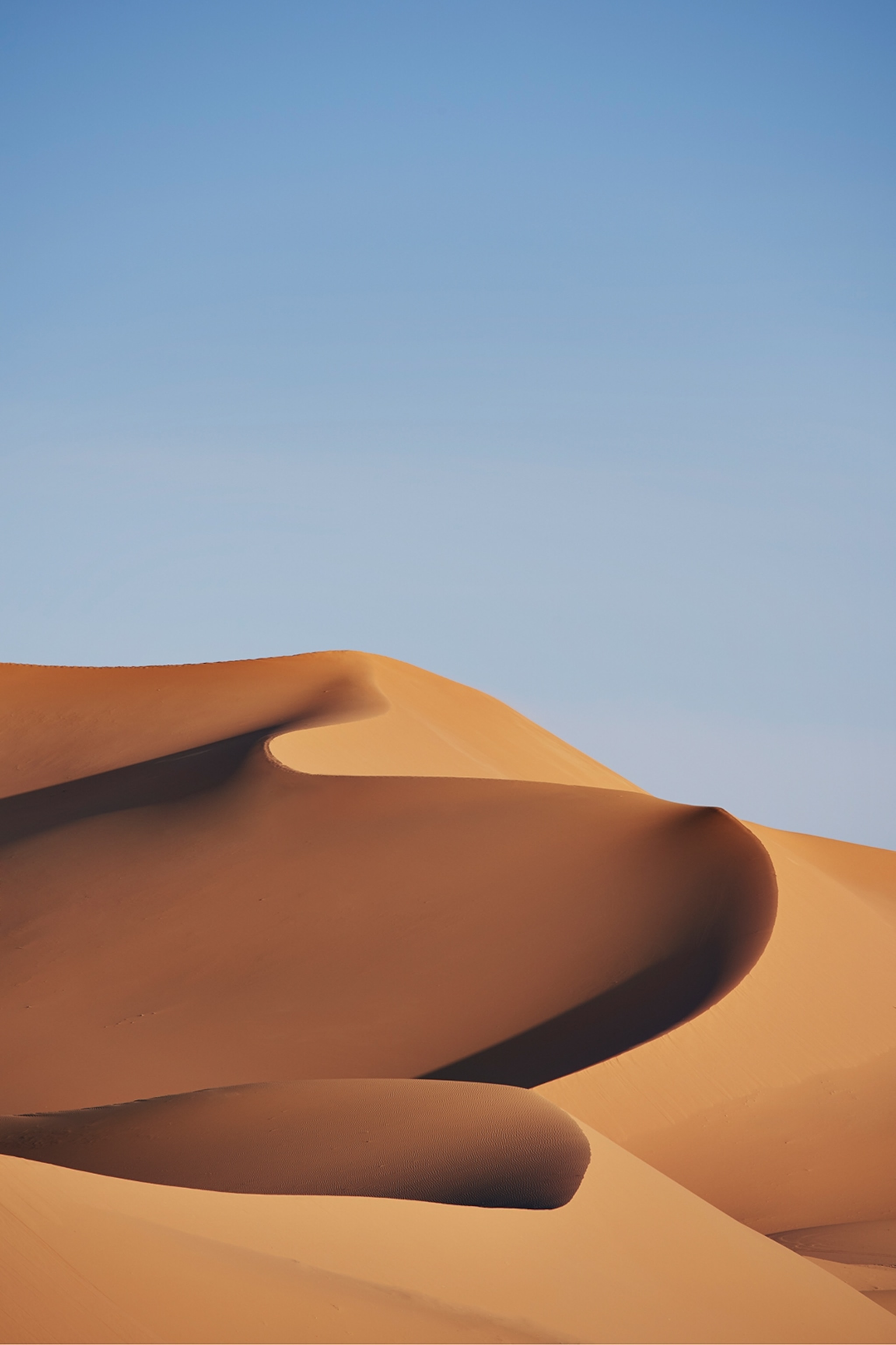
A shot of the desert in Algeria. The sky is blue and clear, and the sand dunes is untouched, forming a natural curved pattern.
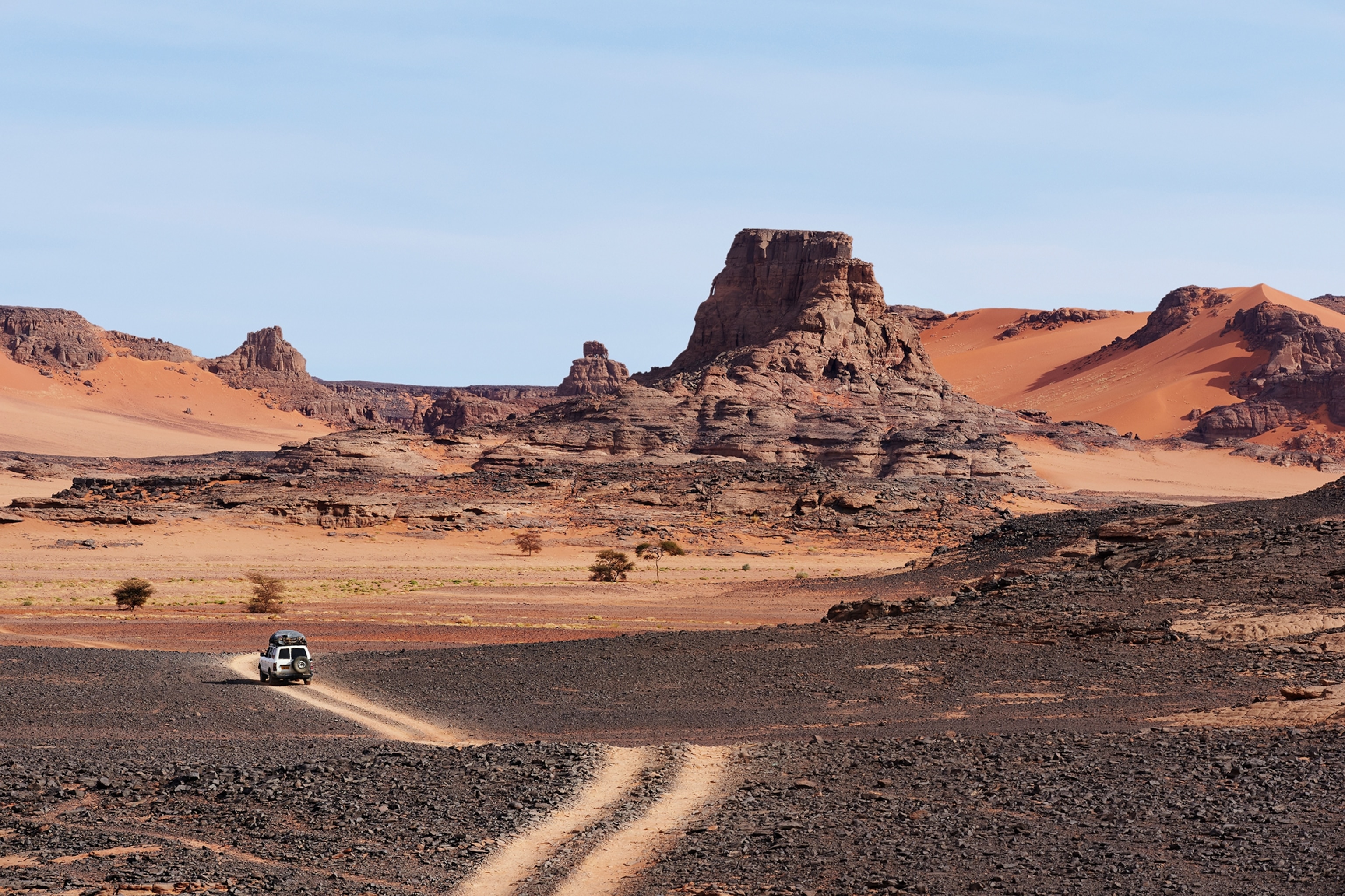
Eighty percent of Algeria is desert, but contrary to popular belief only around 25% of that landmass is covered in sand — the rest mainly comprises vast volcanic plateaus, sandstone cliffs and gravel flats. In Algeria, these landscapes are at their most spectacular in and around Tassili N’Ajjer National Park in the far south, which covers over 28,000sq miles.
Photograph by Simon Urwin
A top of view of the national park in Algeria. the ground has a gravel texture, and a rocky terrain towers above a 4 wheel drive which is entering a sandy area.
It can be explored only on foot or 4WD, as the sculptural forces of heat, rain and wind over the aeons have created an otherworldly topography. There are rock forests, natural arches and towering, multi-hued sand dunes, which range in colour from white and gold to terracotta orange and blood red, and can reach heights of up to 2,000ft in places.
Photograph by Simon Urwin
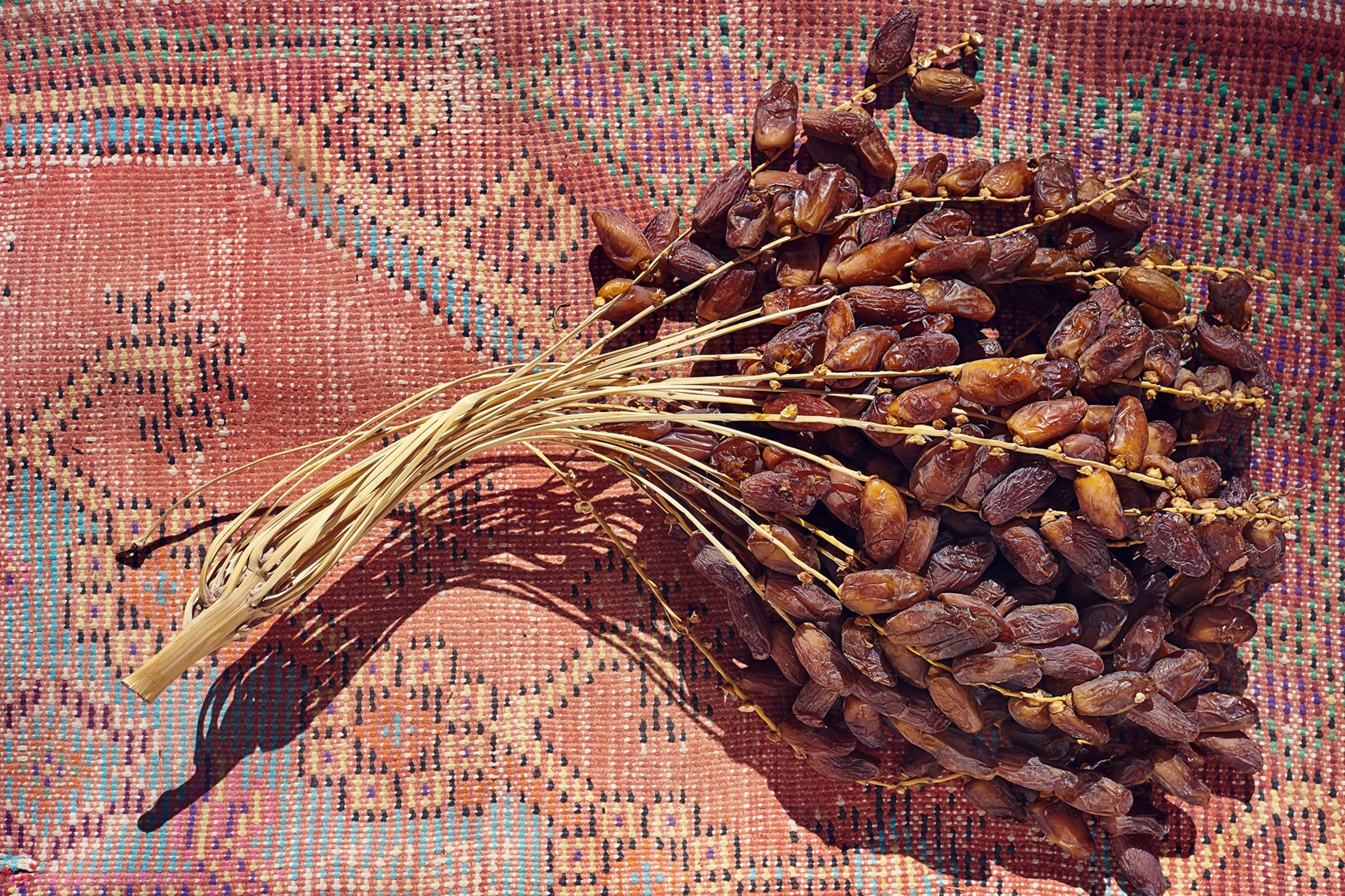
Fresh dates in Algeria which are still attached to their branches.
Southern Algeria is the ancestral homeland of the Tuareg, semi-nomadic people who live off their livestock and dried food such as dates.
Photograph by Simon Urwin
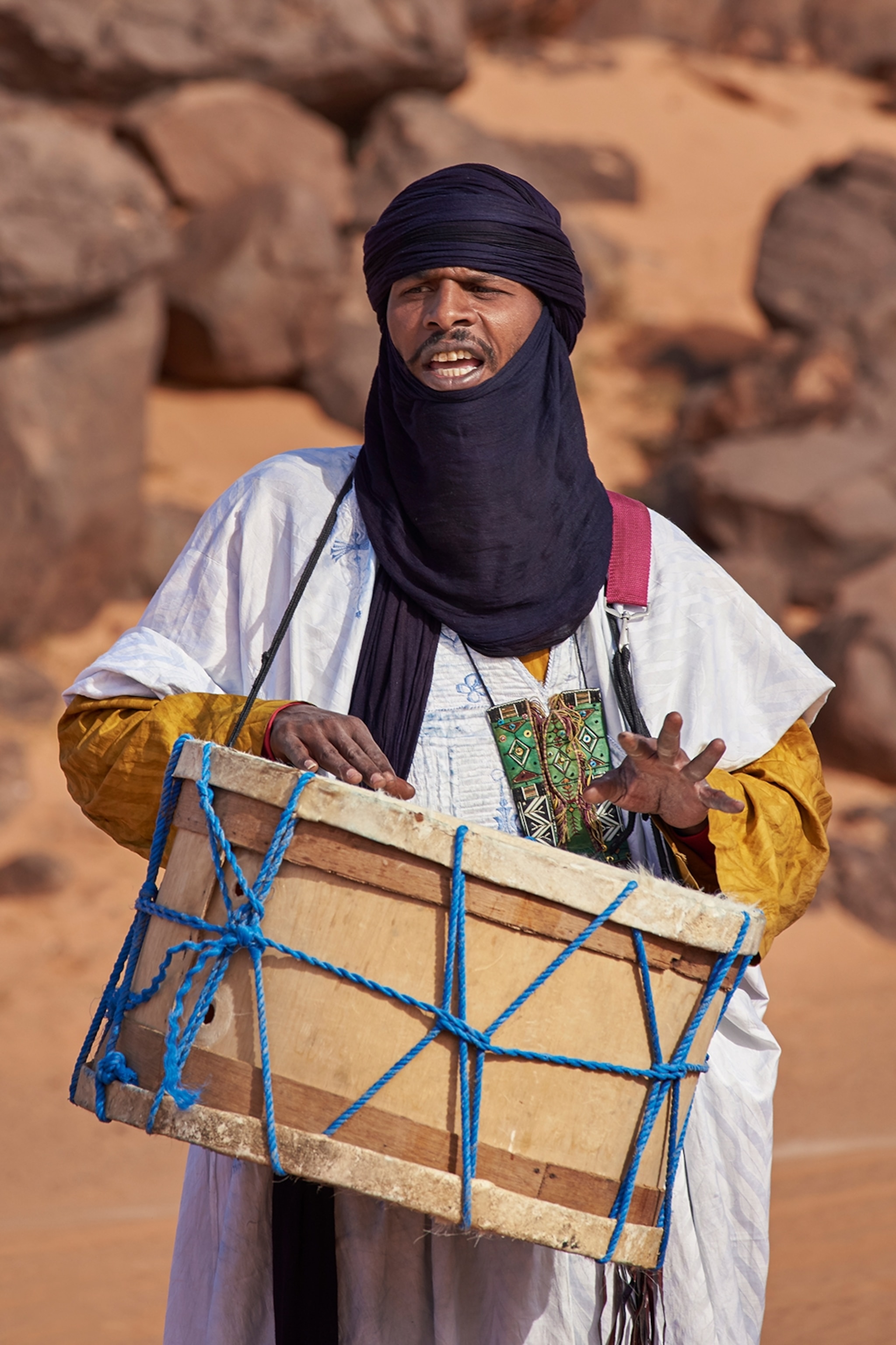
A Tuareg wearing a tagelmoust, a blue headscarf. He is playing a drum which hangs around his neck, attached by a blue rope.
They’re recognisable by the tagelmoust they wear. This indigo-blue headscarf serves both as a symbol of their identity and as protection from the elements. Travelling with the Tuareg is the only way to safely explore Tassili N’Ajjer, because of their ability to navigate without maps.
Photograph by Simon Urwin
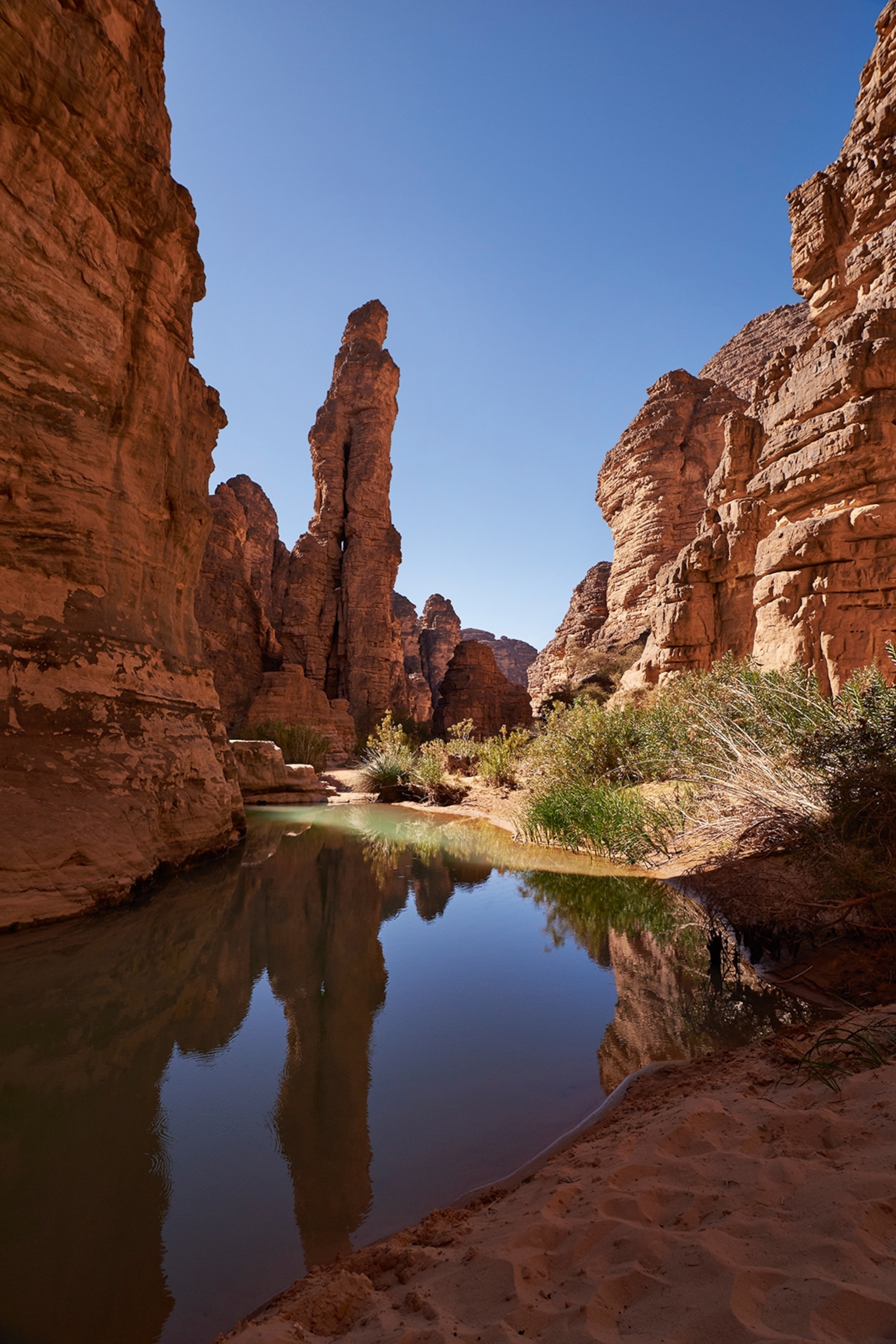
A picture of a dessert with red rock formations in Algeria. A shallow body of water has settled between the rocks, likely one of the few water bodies in the area.
“We say we’re born with sand in our eyes,” says my guide, Tito Khellaoui. “We can ‘read’ the desert: we spot and remember the subtlest changes in rock, relief and sand colour. We carry this ability in our genes, passed down from our forefathers, including their memories of where to find water.”
Photograph by Simon Urwin
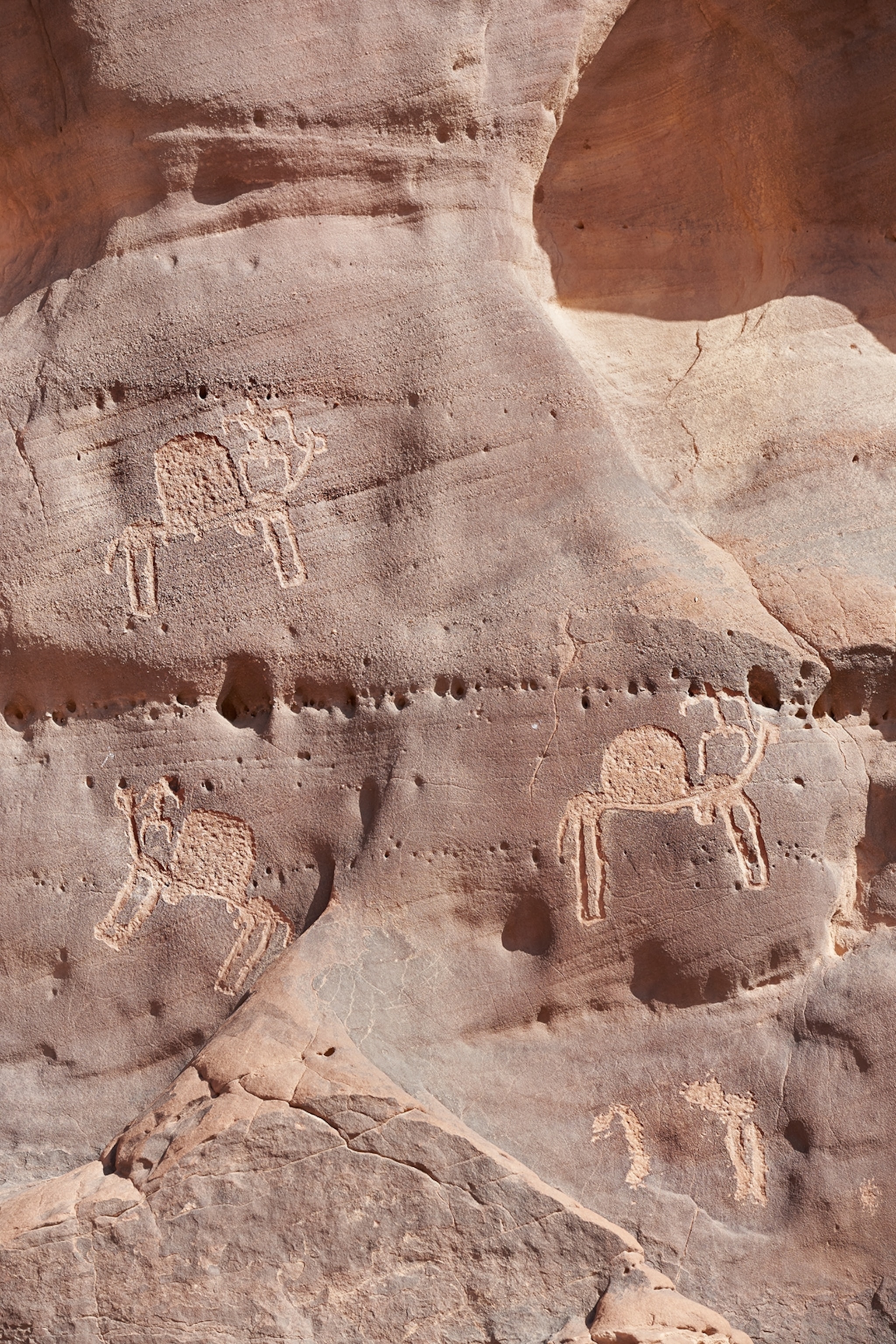
A pictograph on a rock in Algeria depicting animals, the oldest is thought to be 10,000 years old.
Tassili N’Ajjer is home to around 15,000 pictographs and engravings that chart the history of the human presence in the region. The oldest, thought to date back 10,000 years, reveal that this was once fertile savannah that the hunter-gatherers shared with elephants, lions and giraffes.

When the people turned to farming, they painted their cattle; then, as the Sahara dried, images of camels appeared, including those depicting the trans-Saharan trade caravans and the lives of the camel-droving Tuareg. “They date back around 3,000 years,” says Tito.
Photograph by Simon Urwin
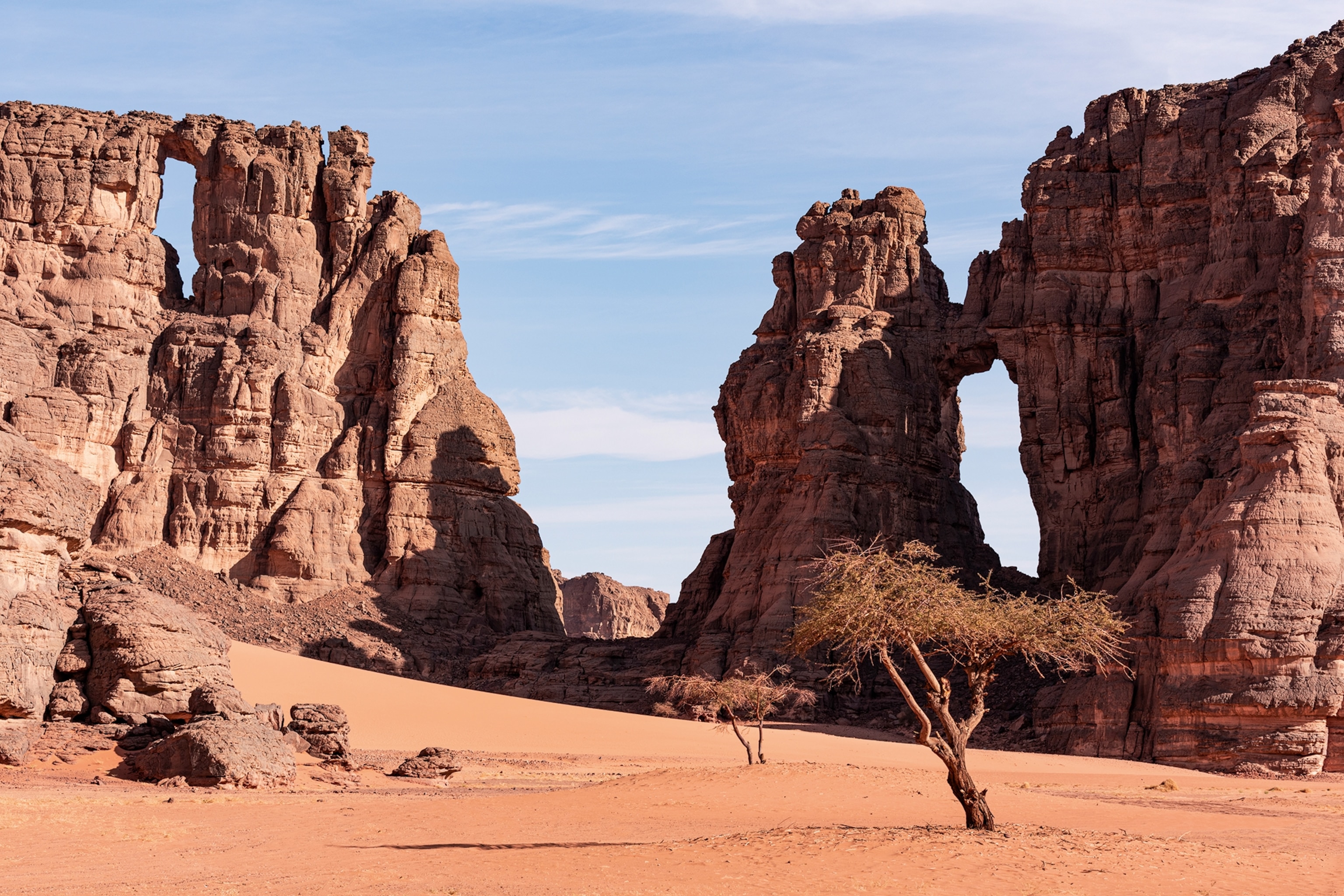
A far shot of the desert in Algeria. There are no people in sight. A two tree in the foreground have dry branches and no leaves.
“Some Tuareg have since moved to the cities, but it doesn’t take long before we feel the pull of the desert and have the urge to return. Visitors to Tassili N’Ajjer often say the same thing.”
Photograph by Simon Urwin
Published in the June 2024 issue of National Geographic Traveller (UK).

To subscribe to National Geographic Traveller (UK) magazine click here. (Available in select countries only).

WIN A TRIP TO ANTARCTICA WITH NAT GEO

No Purchase Necessary. Ends 4/30/25 at 11:59pm ET. Click below for Official Rules.