Solving this oceanic mystery could help predict our future on Earth
Understanding these northerly ocean currents could help scientists predict if—or when—warming temperatures could cause a world-altering change.
The Nordic Seas — In 2011, Bob Pickart stood onboard a research ship in the Denmark Strait, facing a scientific mystery.
He and a team of Icelandic scientists were studying the water flowing between Greenland and Iceland. But popping up in the data was something unexpected: a current no one knew was there, flowing the other way.
“[I thought] what the heck is this?” said Pickart, a physical oceanographer and senior scientist at the Woods Hole Oceanographic Institution in Massachusetts.
Pickart returned to his primary research, the mystery current remaining a question mark at the back of his mind for more than a decade.
That is, until he went back for it.
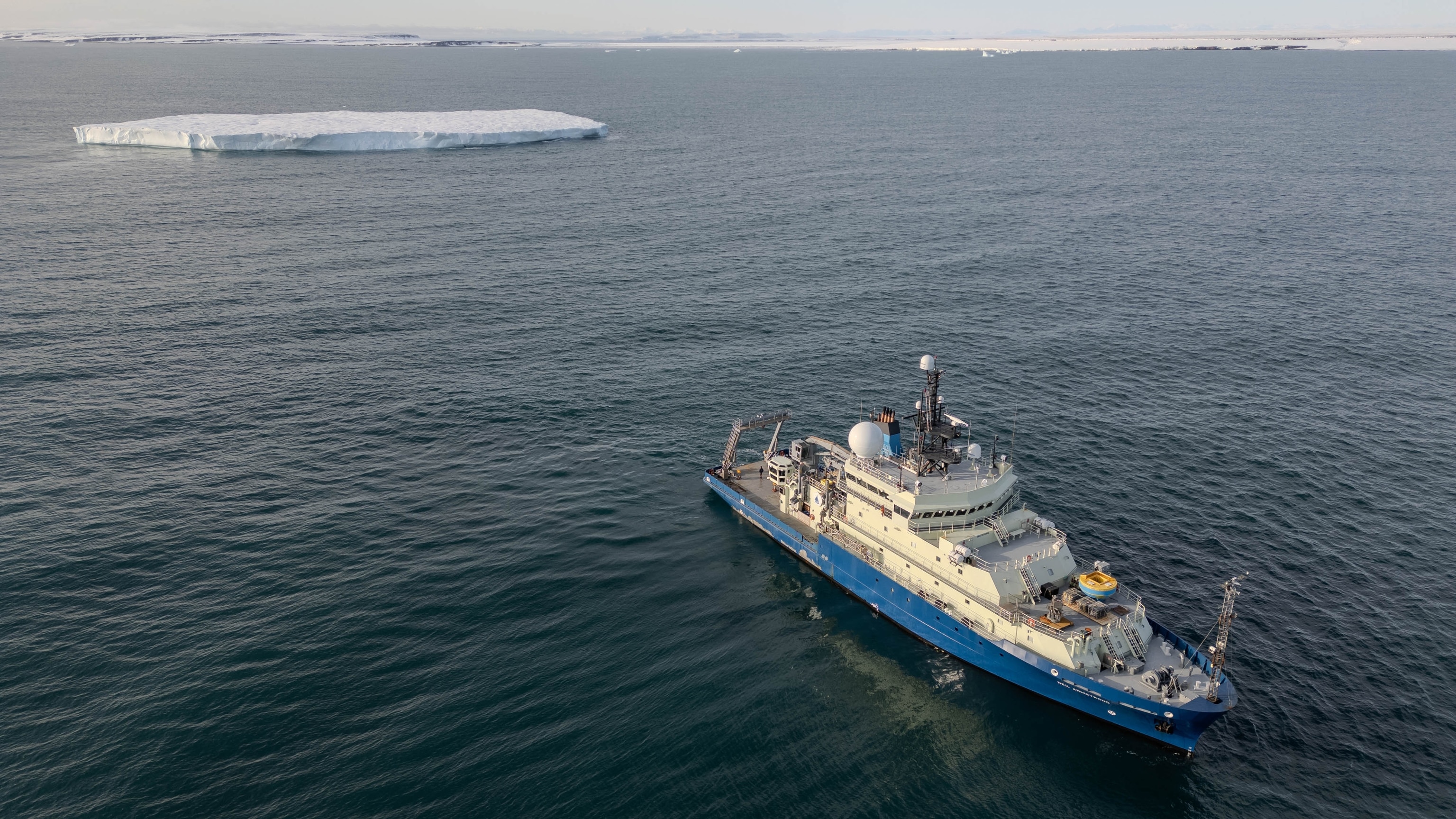
This past summer, Pickart and an interdisciplinary group of researchers hunted down the current, now known as the Iceland Faroe Slope Jet (IFSJ). Over the course of six weeks and one major storm, we zigzagged north into the Arctic, following the current’s path through the Nordic seas.
Finding the current’s starting point is crucial, because scientists do know where it ends up. The IFSJ—a deep, dense-water current—starts somewhere in the Nordic seas and flows south and east, eventually hurtling through the Faroe Bank Channel, a gap in the undersea ridge that runs from Greenland to Scotland. From there, the waters feed into the lower limb of the Atlantic meridional overturning circulation, or AMOC.
The AMOC, often described as an ocean conveyer belt, is a complex system of currents that distributes heat and influences regional weather patterns.
But climate models show the possibility of the AMOC slowing down or even collapsing as the planet gets hotter; in these simulations, the intrusion of too much warm, fresh water disrupts the process driving the circulation. The impacts would be catastrophic: temperatures would plummet in northern Europe, sea levels would rise even further in the U.S., and monsoons in the southern hemisphere could shift their trajectory.
But there is significant debate within the scientific community about the timeframe within which this could occur. While the latest IPCC report says a decline is likely after 2100, some scientists argue a collapse is possible within a few decades. Others argue that while the data show the waters are warming, the flow at critical sections of the AMOC has remained stable.
According to Dipanjan Dey, assistant professor at the Indian Institute of Technology Bhubaneswar, and other experts, the lack of consensus over modeled projections is due to the lack of long-term observations. System-wide measurements of the AMOC only go back 20 years.
“We don’t have the confidence to say when the tipping point will be…But even though we might not see the full extent of it, we should be very much prepared for it,” said Dey, who was not involved in Pickart’s research; he studies the potential impact of the AMOC on monsoons.
That’s why Pickart, at 65, was gripping onto handrails to make it down a hallway as high winds and waves rocked the R/V Neil Armstrong from side to side. He hopes understanding the origin of the IFSJ and its connection to the AMOC will help fill in the gaps in the data.
“We have to understand how the system works before we can really understand how it’s going to change as the climate begins to warm,” he said.
Seafaring detectives
To understand the Iceland Faroe Slope Jet’s role in the system, and to find its origin point, Pickart’s team searched for clues as if they were detectives, and the IFSJ was their suspect.
“It has a fingerprint, a certain signature of temperature, salinity, velocity—we can trace this,” said Stefanie Semper, 36, a physical oceanographer and senior scientist at the University of Bergen in Norway.
It was Semper, in fact, who back in 2019 did the first analysis of the original IFSJ data.
“At my institute, it’s still [called] Stefanie’s Current,” she said, laughing.
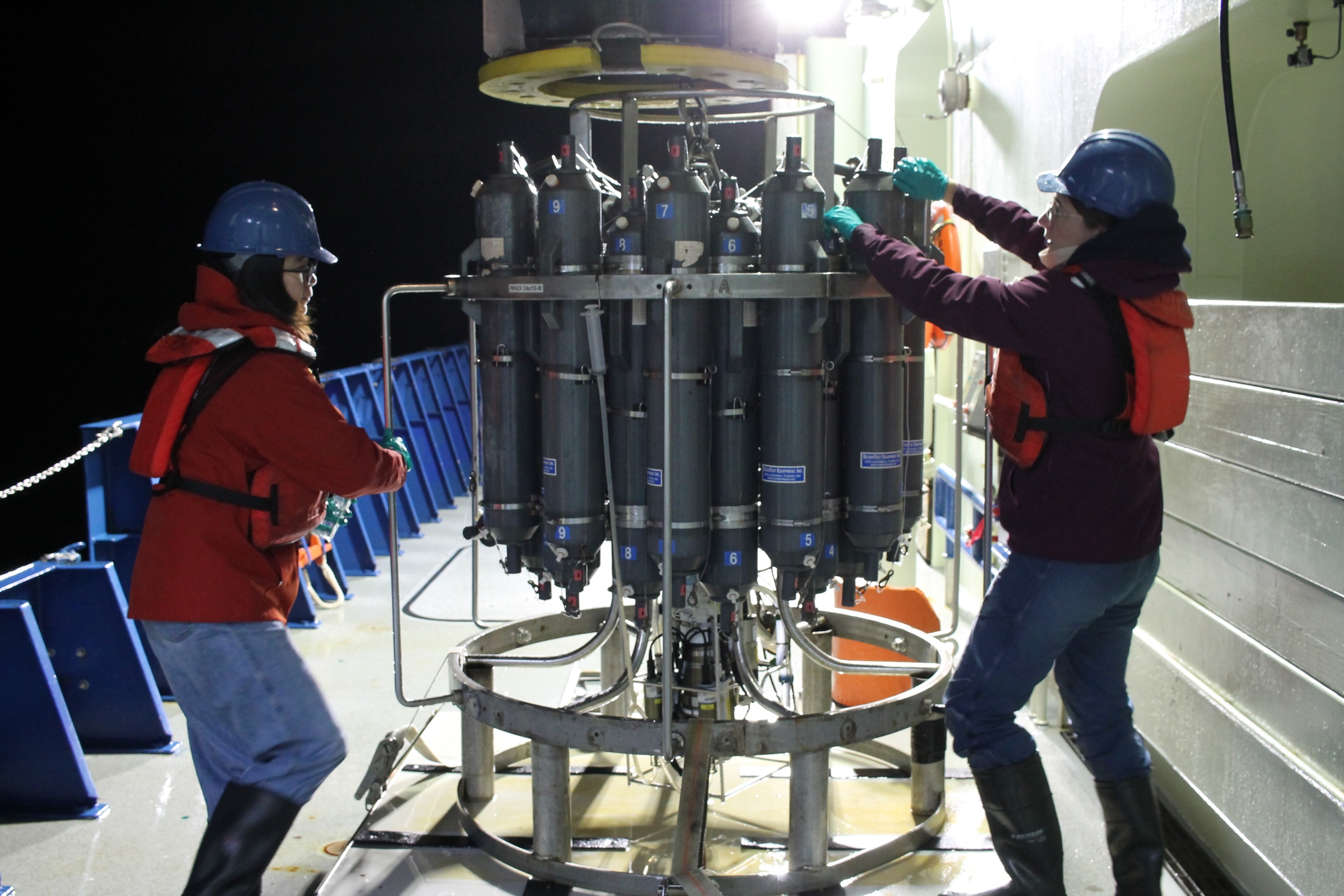
On this expedition, Semper collected fingerprints using a CTD, an instrument designed to measure conductivity (for salinity), temperature, and depth; other instruments are used to determine velocity. The CTDs are overseen by “watchstanders.” Except for Semper, they were all postdocs or PhD students, working round the clock in teams of two.
The CTD sensors are attached to a rosette of large metal bottles. For each measurement, the rosette is raised by a hydraulic arm, extended over the side of the ship, and lowered into the water. From the main lab, Semper directed these CTD casts on the night shift, communicating with Chris Cabell, the crew member controlling the hydraulic arm from an overlook two floors up, via walkie talkie. She sat in front of 12 computer screens, calculating how far the CTD needed to go to reach the ocean floor.
“And now, we wait for 1,000 meters,” she said as the CTD descended; two colored, vertical lines appeared on a graph on one of the screens, as the sensors began transmitting data.
Later, in the early hours of the morning, Semper pulled on a winter coat, life jacket, and hard hat to retrieve the CTD and secure it so the ship could move on.
It’s cold, wet work; earlier in the night, Semper was nearly hit by a wave that swamped the deck.
More questions, 13 years in the making
In the end, the watchstanders conducted 212 CTD casts, with Pickart stitching together the data in real time, capturing a vertical snapshot of the current. Using that snapshot and weather forecasts, he and the captain would occasionally adjust the ship’s course; the Armstrong sailed to 75 degrees north, far above the Arctic Circle, before turning back for port.
“75 north is the furthest north we’ve ever been on this ship, I think by one degree of latitude,” said Captain Mike Singleton.
Back on land, data from the Armstrong will be merged with two other ships working in coordination with Pickart’s expedition, and any water samples not processed onboard will be analyzed. Pickart also deployed scientific moorings and a glider just north of the Faroe Islands, which will gather data for a year before being retrieved.
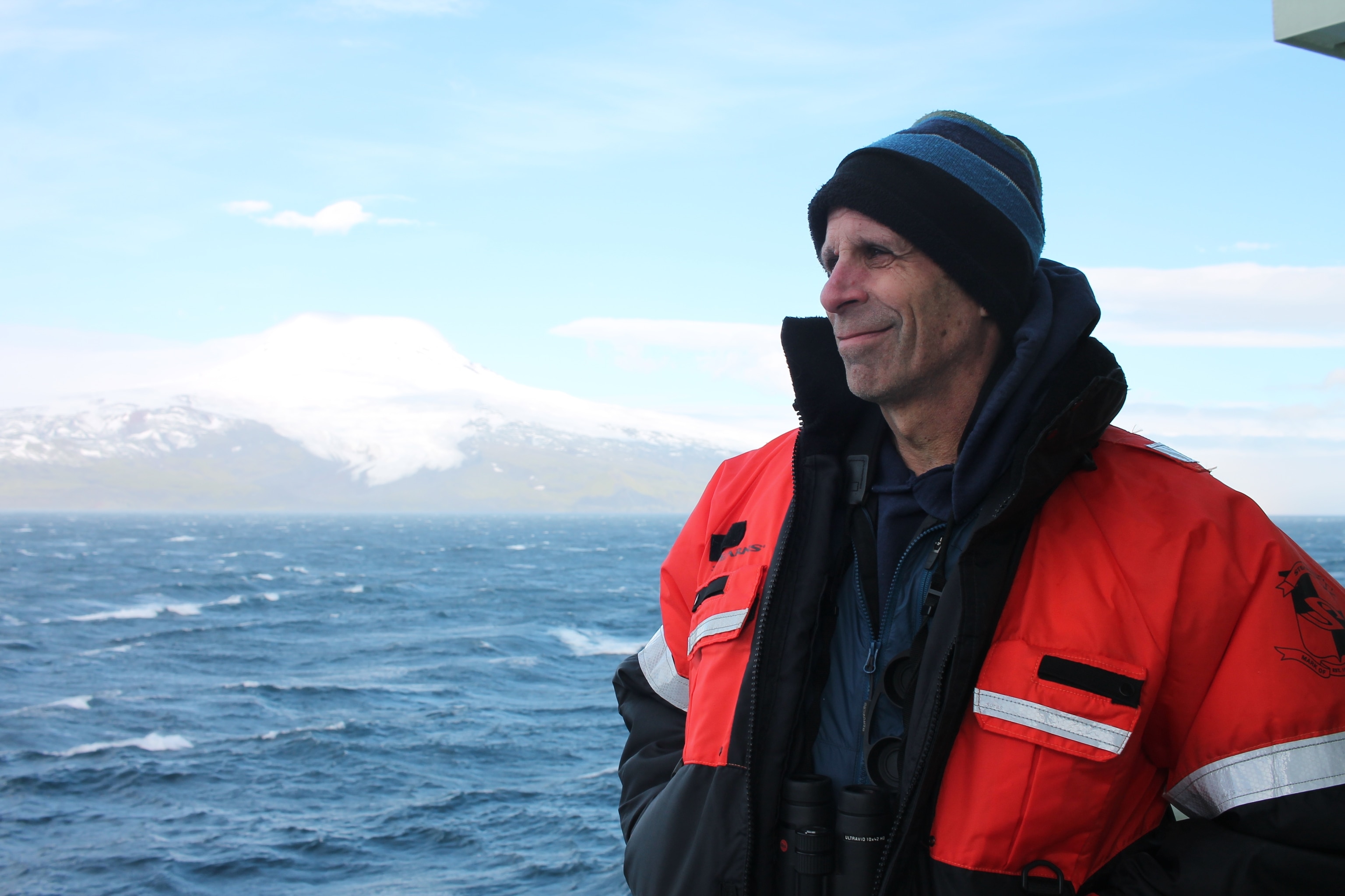
In all, this amounts to years more work. But a few initial observations have emerged. The Iceland Faroe Slope Jet was known to have two branches, and scientists suspected— though it was not proven—that they originated in the Greenland Sea. Pickart says this research appears to confirm that one of the branches does begin in the Greenland Sea; that matters because this current connects the Greenland Sea and the AMOC, and is carrying water from an area that has been warming rapidly.
The second branch, however, seems to come from somewhere else entirely.
Pickart won’t be the one answering the questions this raises. After more than 30 years going to sea, he’s planning to retire in the next few years. Instead, he handed the questions to a new generation of physical oceanographers. With input from Semper, Jie Huang will lead the onshore analysis; the 31-year-old postdoc worked closely with Pickart on the expedition.
“It’s like a wonderful birthday gift,” said Huang via email, several weeks after the expedition. “Those data are very rare.”
Pickart hopes other young scientists will also be eager to tackle one more wrinkle from the expedition. Amid the measurements, something unexpected appeared in the data: a flow of water that, just like before, no one knew was there.
The current has a third branch.
“I’m not even sure what this third branch means, but it’s transporting a significant amount of water” said Pickart at the end of the expedition. “This is really exploratory. How cool is that?”

